Stainz bei Straden - Aussichtswarte Vulkanland (Um die Mitte)
Starting point: Stainz bei Straden (256 m)
| Latitude/Longitude: | 46,82268°N 15,89503°E |
| |
Route name: Um die Mitte
Walking time: 1 h 30 min
Difficulty: easy marked way
Elevation gain: 223 m
Elevation difference along the route: 235 m
Map:
Recommended equipment (summer):
Recommended equipment (winter):
Views: 119
 | 1 person like this post |
Access to starting point:
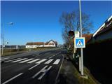
From Gornja Radgona or Gederovci, we drive to Radgona / Bad Radkersburg and follow the signs for Vienna / Wien and Graz / Graz, after the settlement Obrajna / Halbenrain we soon turn right towards the town of Vrbna / Feldbach. We continue driving through a few more settlements, and when we arrive in the settlement Stainz bei Straden, the described trail starts at the bus stop Stainz bei Straden Ort. There are no designated parking spaces for hikers at the starting point.
Route description:
A few steps north of the bus stop we arrive at a marked junction from which we head right eastwards following the signs for Vulkanland Aussichtswarte. At first we walk on the pedestrian surface along the initially still quite compact part of the settlement, after a few minutes we reach a small junction where the marked path splits.
Continue left along the path Auf den Spuren der Vulkane – Um die Mitte (straight to Aussichtswarte Vulkanland via the path over Rosenberg).
The path ahead leads past quite a few houses, at junctions follow the signs for the path Auf den Spuren der Vulkane – Um die Mitte, and at some junctions there are also signs for Aussichtswarte Vulkanland. At the last houses in the settlement we pass a chapel, then the path splits at the edge of the forest.
Continue on the slightly left road which begins to ascend moderately through the forest (the right road leads towards the summit Rosenberg). Higher up there are a few small junctions where we continue following the yellow signs of the path Auf den Spuren der Vulkane – Um die Mitte. After some time we switch from the road to a cart track which leads us transversely to the right in a gentle to moderate ascent. Near the viewpoint tower, from the marked junction go right and then after one minute of further walking arrive at the viewpoint tower Aussichtswarte Vulkanland.
Description and photos refer to the condition in December 2025.

Along the route: Stainzberg (276m)
Photos:
 1
1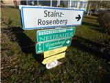 2
2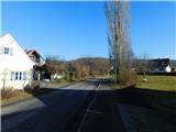 3
3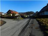 4
4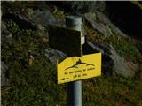 5
5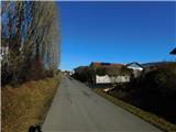 6
6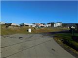 7
7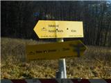 8
8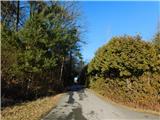 9
9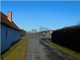 10
10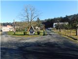 11
11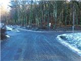 12
12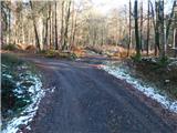 13
13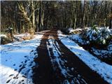 14
14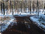 15
15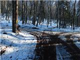 16
16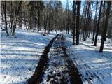 17
17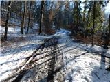 18
18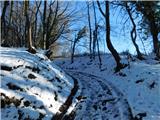 19
19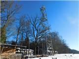 20
20 21
21
Discussion about the trip Stainz bei Straden - Aussichtswarte Vulkanland (Um die Mitte)
To post a comment you must log in:
If you do not yet have a username, you must first
register.