Stara Fužina - Dom Valentina Staniča
Starting point: Stara Fužina (600 m)
| Latitude/Longitude: | 46,29030°N 13,88680°E |
| |
Walking time: 7 h 45 min
Difficulty: easy marked way
Elevation gain: 1732 m
Elevation difference along the route: 1835 m
Map: Triglav 1:25.000
Recommended equipment (summer): helmet, self belay set
Recommended equipment (winter): helmet, self belay set, ice axe, crampons
Views: 1.240
 | 2 people like this post |
Access to starting point:
We drive to Bohinjska Bistrica, then continue driving in the direction of Lake Bohinj. In Ribčev Laz, from the intersection at the beginning of Lake Bohinj, we continue right in the direction of Srednja vas, Studor and Stara Fužina. The road then leads us over a bridge and past the church of St. John the Baptist, a few hundred meters further and we already arrive in Stara Fužina. In Stara Fužina we first drive past Pension Lipa, Triglav apartments, bus station, Mercator store, then arrive at the intersection by the chapel, where we continue on the left road in the direction of the parking lot, Korita Mostnice, Hudičev most and mountain paths to mountain pasture Blato and Vogar and the path into Voje Valley. From the intersection some ascent follows, when the settlement ends, we arrive at the paid parking lot, where we park.
Route description:
From the parking lot, we continue right in the direction of Korita Mostnice, where we walk on a wide path which in a few minutes brings us to Hudičev most, from which we can already catch the first view into the korita. At the bridge, we step onto a worse road which we follow to the left, but walk on it only for a short time as signs for the korita direct us right onto a nicely arranged tourist path. The path ahead quickly brings us to the central korita, along which we then gently ascend. During the ascent along the korita, we come upon the sign "Slonček" (Slonček is a rock carved by water in the shape of an elephant). The path ahead ascends along Mostnica for some time more, then turns somewhat to the left, where after a few minutes of further walking it brings us to a forest road leading towards the upper end of Voje Valley. We follow the road to the right, which quickly brings us to Planinska koča na Vojah (we can also reach here by car, which shortens the path by approximately 45 minutes).
From the hut, we continue on a gently sloping macadam road which leads us along the edge of the extensive pastures of Voje Valley. A little further ahead, the road splits into two parts, and we can continue either on the left road (direction Velo polje) or on the slightly longer right road by a few minutes, which brings us to the Mostnica waterfall at the upper end of the valley.
If we have viewed the waterfall, we return a few meters back, then via a small bridge join the "left" slightly shorter path. The path ahead transitions into dense forest, where it first ascends above the waterfall, then gradually turns considerably to the left, ascending relatively steep slopes. After approximately one-hour ascent through the forest, the path turns right and after a few minutes of traverse ascent brings us out of the forest onto Planina Spodnja Grintovica, where there is a trough with water (due to the possibility of frost, the tap can be opened only in summer months).
The path ahead returns to the forest, where it begins to ascend more steeply again. A quite monotonous path then brings us into an indistinct little valley (Jurjevčeva vrtača), where it gradually flattens. Further on, the forest becomes somewhat sparser, the path turns slightly to the right, where after a few minutes of further walking we arrive at a poorly marked junction.
We continue on the right path (left to planina pod Mišelj vrhom, Malo polje and Velo polje), which begins to ascend more noticeably again. Further, we ascend along the indistinct ridge of the less known peak Na Zagonu (1824 m), then the path flattens and brings us in a few steps of further walking to the place where we join the much better trodden path from Pokljuka.
We continue in the direction of Vodnikov dom and continue the ascent on a gentle path which traverses the slopes of Tosc (2275 m). The path ahead traverses a few smaller screes (in early summer snow patches may still be present here), then quickly brings us to Vodnikov dom na Velem polju.
From the hut, we continue straight in the direction of Triglav (right upward Bohinjska vratca).
Further, we moderately ascend and traverse the slopes below Vernar (2225 m). Soon we encounter the first fixed cable, which helps us overcome a short ledge. The path ahead ascends the scree and brings us to a steep rocky jump. A well secured path via steep steps brings us to the top of this jump. There follows a few meters of traversing a steep slope, then the path brings us to extensive areas near Konjski preval, which we reach after a short descent.
From Konjski preval we continue in the direction of Kredarica and Staničev dom (left Planika, right Krma), we follow the wide path to Kredarica only a few steps more, then the inscription on the rock Staničev dom directs us slightly right onto a nicely traceable but less trodden path. The path ahead with some shorter ascents and descents traverses slopes to the right, crossing some gullies which in early summer may still be under snow. The path ahead crosses a belt of dwarf pines, then transitions to a grassy slope across which we ascend traverse-wise. The path then flattens and shortly further crosses the path leading from Krma via Kalvarija to Kredarica.
We continue in the direction of Staničev dom (inscription on the rock) and continue the ascent on a moderately steep path which gets closer and closer to the screes below Rž. Along a pleasant path across Ržki pode, we arrive at the aforementioned screes, across which we begin to ascend traverse-wise. When we reach the other side of the scree, the path turns slightly left and begins to ascend steeply on rugged rock faces. The steepness quickly eases and after a few minutes of further walking we join the path coming from Krma.
We continue in the direction of Staničev dom and after a few minutes of moderate ascent arrive at an indistinct ridge, where to the right branches the marked path to Rjavina. We continue straight and follow the path, which begins to descend moderately, with views of Triglav, Begunjski vrh and Visoka Vrbanova špica, to Dom Valentina Staniča pod Triglavom, which we reach after approximately 10 minutes of descent.
Starting point - Koča na Vojah 45 minutes, Koča na Vojah - Spodnja Grintovica 2:00, Spodnja Grintovica - Vodnikov dom 2:00, Vodnikov dom - Staničev dom 3:00.

Photos:
 1
1 2
2 3
3 4
4 5
5 6
6 7
7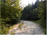 8
8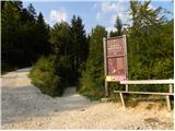 9
9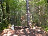 10
10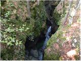 11
11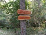 12
12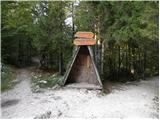 13
13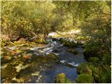 14
14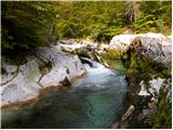 15
15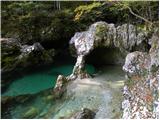 16
16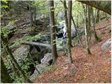 17
17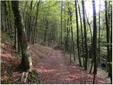 18
18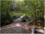 19
19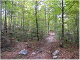 20
20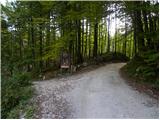 21
21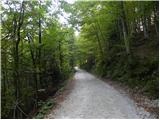 22
22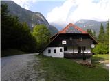 23
23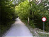 24
24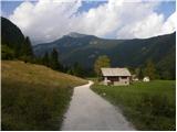 25
25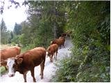 26
26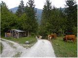 27
27 28
28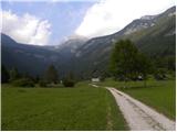 29
29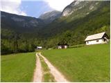 30
30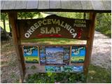 31
31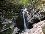 32
32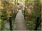 33
33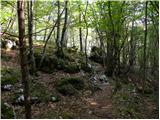 34
34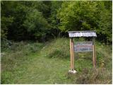 35
35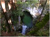 36
36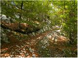 37
37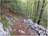 38
38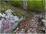 39
39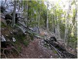 40
40 41
41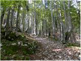 42
42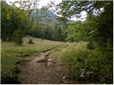 43
43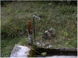 44
44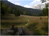 45
45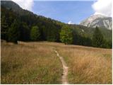 46
46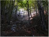 47
47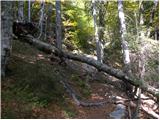 48
48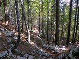 49
49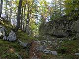 50
50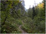 51
51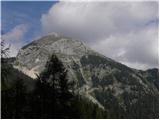 52
52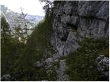 53
53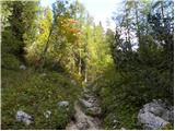 54
54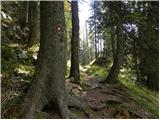 55
55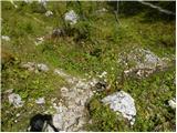 56
56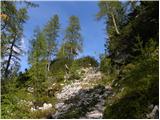 57
57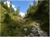 58
58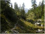 59
59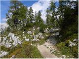 60
60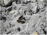 61
61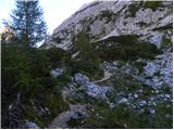 62
62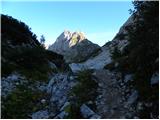 63
63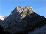 64
64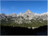 65
65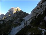 66
66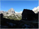 67
67 68
68 69
69 70
70 71
71 72
72 73
73 74
74 75
75 76
76 77
77 78
78 79
79 80
80 81
81 82
82 83
83 84
84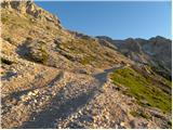 85
85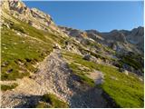 86
86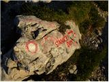 87
87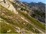 88
88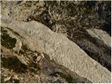 89
89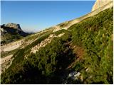 90
90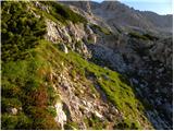 91
91 92
92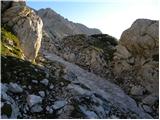 93
93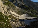 94
94 95
95 96
96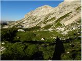 97
97 98
98 99
99 100
100 101
101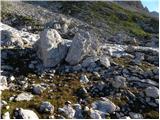 102
102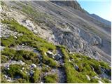 103
103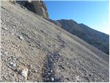 104
104 105
105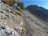 106
106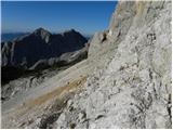 107
107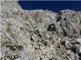 108
108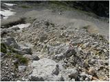 109
109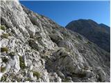 110
110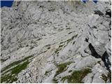 111
111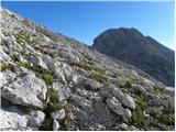 112
112 113
113 114
114 115
115 116
116 117
117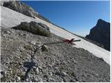 118
118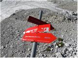 119
119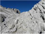 120
120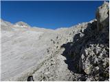 121
121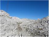 122
122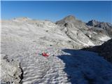 123
123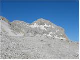 124
124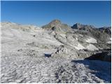 125
125 126
126 127
127 128
128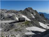 129
129 130
130 131
131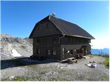 132
132
Discussion about the trip Stara Fužina - Dom Valentina Staniča
To post a comment you must log in:
If you do not yet have a username, you must first
register.