Stara Vrhnika - Koča na Planini nad Vrhniko (via Špica)
Starting point: Stara Vrhnika (324 m)
| Latitude/Longitude: | 45,97400°N 14,28580°E |
| |
Route name: via Špica
Walking time: 1 h 15 min
Difficulty: easy marked way
Elevation gain: 409 m
Elevation difference along the route: 409 m
Map: Ljubljana - okolica 1:50.000
Recommended equipment (summer):
Recommended equipment (winter):
Views: 13.709
 | 1 person like this post |
Access to starting point:
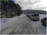
From the highway Ljubljana - Koper take the exit Vrhnika, and then at the first traffic light continue left in the direction of Logatec. On the old road towards Logatec we drive only a few dozen meters, and then signs for Horjul point us to the right. Further, we drive towards Horjul, and we follow the mentioned road to the spot where signs for Stara Vrhnika point us to the left. We continue driving through the mentioned settlement, and then we quickly arrive at the intersection at the fire station. Here we park in an appropriate place by the intersection.
Route description:
From the intersection at the fire station, we go straight and continue on a slightly ascending road which takes us past the church of St. Lenart to an intersection at the NOB monument. Here we continue on the left road and continue through the settlement to the end of the road. From the end of the road, we continue on a cart track which gently ascends through a panoramic meadow, and when we get below the power line, we continue slightly left, where after a few minutes of additional walking we get to the road. We only cross the road and continue the ascent on a marked hiking path which gradually starts to ascend moderately and higher transitions into a dense forest. After a few minutes of walking through the forest, the path temporarily flattens out completely, then steeply ascends and brings us to a forested ridge. For some time we continue along the mentioned ridge, then the path turns slightly to the left and joins the path from Vrhnika.
There follow a few minutes of easy walking to the bench Špica, then the path turns slightly to the left and gradually starts to ascend more steeply. We follow this further relatively steep path all the way to the Zavetišče na Planini nad Vrhniko, which we reach after approximately 10 minutes of additional walking.
Description and pictures refer to the condition in December 2010.

Photos:
 1
1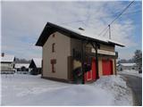 2
2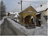 3
3 4
4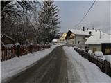 5
5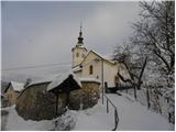 6
6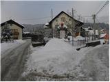 7
7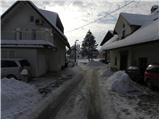 8
8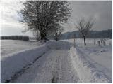 9
9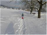 10
10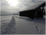 11
11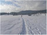 12
12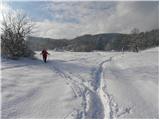 13
13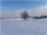 14
14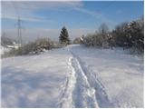 15
15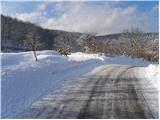 16
16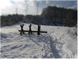 17
17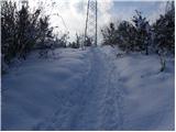 18
18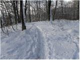 19
19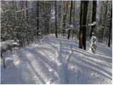 20
20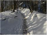 21
21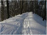 22
22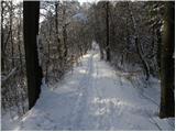 23
23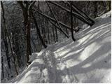 24
24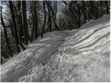 25
25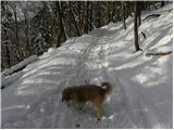 26
26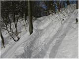 27
27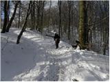 28
28 29
29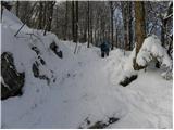 30
30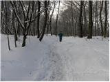 31
31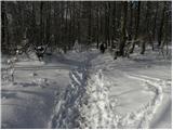 32
32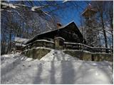 33
33 34
34 35
35
Discussion about the trip Stara Vrhnika - Koča na Planini nad Vrhniko (via Špica)
|
| bizmbazm22. 12. 2010 |
Yes, interesting hike. I went several times when doing military service in Stara Vrhnika. I've thought several times about going again. I hope soon and that I'll find the right path, as I've forgotten where it goes.
|
|
|
|
| zaplancek9. 03. 2020 |
Does anyone else think that since they have the new hut and septic tank it stinks unbearably around the hut! Even the path under the septic tank itself a little before the end, that muddy part, started to smell horribly! Quite disappointed 
|
|
|
|
| donat9. 03. 2020 |
noted, I will pass it on to PD Vrhnika, they will
surely check the situation.
|
|
|
To post a comment you must log in:
If you do not yet have a username, you must first
register.