Stojdraga (Glažuta) - Tuščak (Žumberačka gora)
Starting point: Stojdraga (Glažuta) (250 m)
| Latitude/Longitude: | 45,83260°N 15,58629°E |
| |
Walking time: 1 h 10 min
Difficulty: easy marked way
Elevation gain: 352 m
Elevation difference along the route: 352 m
Map:
Recommended equipment (summer):
Recommended equipment (winter):
Views: 203
 | 1 person like this post |
Access to starting point:
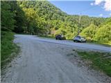
Leave the Dolenjska motorway at the Slovenska vas exit, which is just before the Obrežje border crossing. Continue driving to the centre of Obrežje, turn left at the intersection, then through the Bregana border crossing settlement and the bridge over the Bregana river arrive in Croatia. Immediately after the border turn sharply right towards Jastrebarsko and continue driving through Grdanjci, then drive through numerous bends to the beginning of the scattered village Stojdraga. Shortly after the sign turn left onto a narrower asphalt road. Right by the road is a small chapel Stepinca i Kuharića. Drive along the valley to the hamlet Glažuta, where behind a small bridge there is a small parking lot where the described trail begins.
Route description:
From the starting point we spot signs on the other side of the road directing us to a sandy and rugged track. We walk the track for just a few minutes, then pay very close attention to a barely noticeable branch-off to the left, indicated only by a small painted stake. We turn onto the path, which is initially slightly overgrown but then becomes well traceable. We quickly climb to the ridge, where the path turns right and becomes very steep for a while. After about 15 minutes of steep ascent the path levels out and leads along or beside the ridge. Occasionally views towards Slovenia open up between the trees. After about 10 minutes of such walking we reach a smaller summit, from which the path gently descends to a hunting observation hut to the left of the path. The path turns into a small valley, which first ascends again, then levels out, and after 10 minutes of walking from the hunting observation hut we spot the logbook box with sign on Tuščak to the left. The highest point of the summit is a few steps further on pathless terrain.
Description and photos refer to the condition in May 2025.

Photos:
 1
1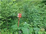 2
2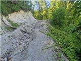 3
3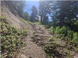 4
4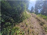 5
5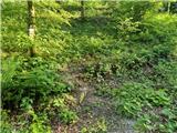 6
6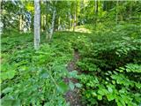 7
7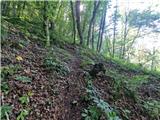 8
8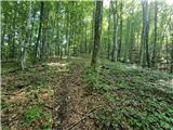 9
9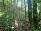 10
10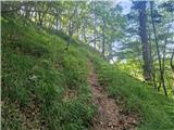 11
11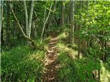 12
12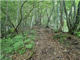 13
13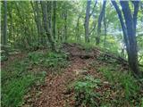 14
14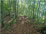 15
15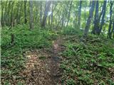 16
16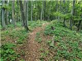 17
17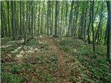 18
18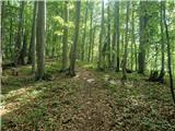 19
19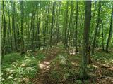 20
20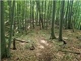 21
21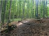 22
22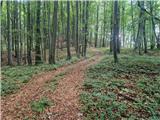 23
23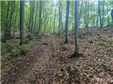 24
24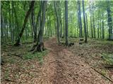 25
25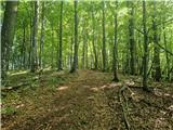 26
26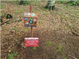 27
27 28
28
Discussion about the trip Stojdraga (Glažuta) - Tuščak (Žumberačka gora)
To post a comment you must log in:
If you do not yet have a username, you must first
register.