Štore - Resje above Štore (via Resevna)
Starting point: Štore (240 m)
| Latitude/Longitude: | 46,22130°N 15,32150°E |
| |
Route name: via Resevna
Walking time: 2 h
Difficulty: easy marked way
Elevation gain: 327 m
Elevation difference along the route: 700 m
Map: Posavsko hribovje Boč - Bohor 1:50.000
Recommended equipment (summer):
Recommended equipment (winter):
Views: 2.376
 | 3 people like this post |
Access to starting point:
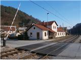
Štore is accessible ideally with the help of the railway. On the road...you leave the highway in Celje and practically in the center of Celje go towards Štore or Šentjur. You park the car near the railway station Štore, where there are enough parking spaces available and there is also the beginning of the marked mountain path.
Route description:
The beginning of the path is at the railway station in Štore. We go through Voglajna, where a signpost immediately points us to the left some tens of elevation meters uphill. At the first structure on the left and we follow the mountain path through the forest directly above Voglajna. When we get out of the forest in the settlement Draga we follow the meadow path also directly above Voglajna and further on the asphalt road to the bridge over the river Voglajna or to the crossing named Opoka. Left over a bridge goes the path towards Dramlje, Konjiška gora..., right on a narrower forest road through Kompol and Šentjanž higher into hills above Štore and Celje, and we continue on the asphalt road straight and after a few hundred meters through the settlement Prožinska vas and then we turn three times slightly to the left. Of course the path is well marked with blazes, signs and it is easy to follow. Further, we pass on a cart track which after a few hundred meters a little downwards brings us to a stream, which after a few hundred meters we cross with the help of a smaller bridge, we continue by the water supply building, a smaller source of water, where we can quench our thirst and the wooden cross. Soon after the cross we go away from the water and we continue higher by the hayrack and through a yard of a homestead. Behind the homestead a little more sharply uphill partly on the road and further on a meadow path, where we soon cross the forest road. With the help of a few meters of steel cables we continue higher on a pleasant forest path and soon from the left joins the path from Šentjur.
We continue on a little wider forest path below the only homestead in this part and further we go a little right through the forest, where after a few hundred meters we reach an asphalt road which leads higher. Further, we follow the asphalt road and after a few hundred meters from the left a steep path from Šentjur joins.
We continue on the asphalt surface and with the help of wooden stairs we get to a meadow plain, where at NOB monument we turn right on a forest/transport road for mountain hut Planinski dom Resevna and we soon reach the mountain hut.
From the hut, we of course continue a few steps higher to the modern lookout tower from which we continue immediately downwards on a marked mountain path. After the descent, in the forest part we descend to open terrain by the homesteads, two. Signs point us further in the direction of Svetina and we continue on the upper forest road straight, again in the arms of the forest. We follow a well-marked forest road and we continue by the monument of Celje company, which is left from the path, a little right upwards on a narrower forest path, partly also a cart track. We soon reach a little bigger hunting stand and after a short continuation there is also an indistinct peak Resje nad Štorami. A few meters below the summit there is again a monument of Celje company at the homestead which is a few tens of meters below the summit. Here we also have some views approximately in the direction towards the south and west.
The distance of the path from Štore is around 8 kilometers, 700 positive elevation meters and 250 negative elevation meters.

Photos:
 1
1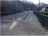 2
2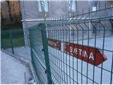 3
3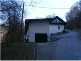 4
4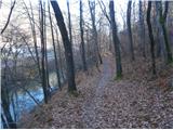 5
5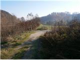 6
6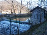 7
7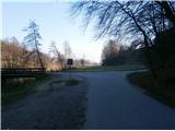 8
8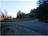 9
9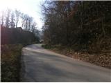 10
10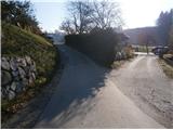 11
11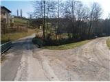 12
12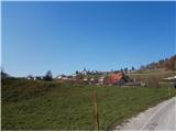 13
13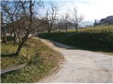 14
14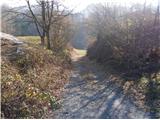 15
15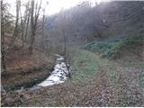 16
16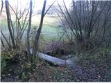 17
17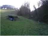 18
18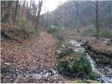 19
19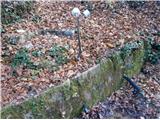 20
20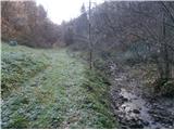 21
21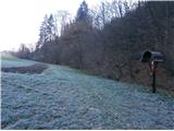 22
22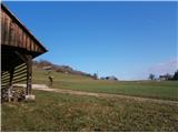 23
23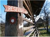 24
24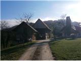 25
25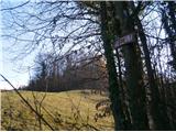 26
26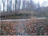 27
27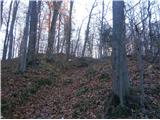 28
28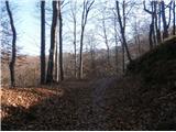 29
29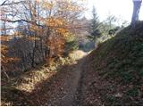 30
30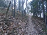 31
31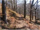 32
32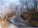 33
33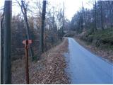 34
34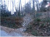 35
35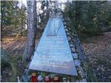 36
36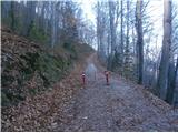 37
37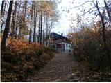 38
38 39
39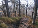 40
40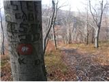 41
41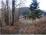 42
42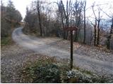 43
43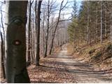 44
44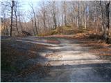 45
45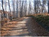 46
46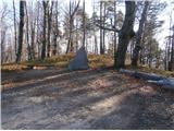 47
47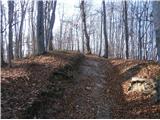 48
48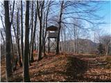 49
49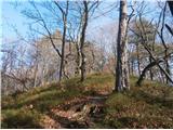 50
50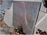 51
51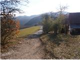 52
52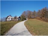 53
53
Discussion about the trip Štore - Resje above Štore (via Resevna)
To post a comment you must log in:
If you do not yet have a username, you must first
register.