Starting point: Štrigova (200 m)
| Latitude/Longitude: | 46,50108°N 16,28604°E |
| |
Walking time: 1 h 20 min
Difficulty: easy marked way
Elevation gain: 141 m
Elevation difference along the route: 175 m
Map:
Recommended equipment (summer):
Recommended equipment (winter):
Views: 741
 | 1 person like this post |
Access to starting point:
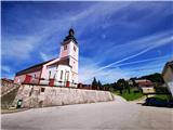
We drive to Razkrižje (from Ljutomer, Beltinci or Ljutomer), then head towards the road to Gibina and Croatia. After the border crossing, we drive to Štrigova, where we park at the church of Saint Mary Magdalene.
Route description:
From the church, we follow the main road towards Banfij, indicated also by signs for the cycling path towards Slovenia. The road gently ascends to a large signpost, where we turn left towards the Madžerka viewpoint. We continue ascending along the road to the tower on Mađerkin Breg.
Photos:
 1
1 2
2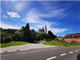 3
3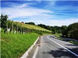 4
4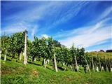 5
5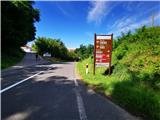 6
6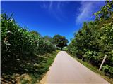 7
7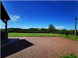 8
8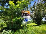 9
9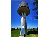 10
10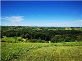 11
11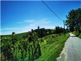 12
12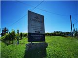 13
13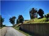 14
14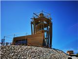 15
15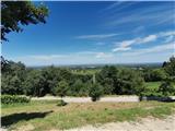 16
16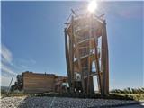 17
17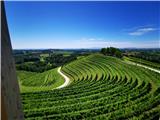 18
18
Discussion about the trip Štrigova - Mađerkin Breg
To post a comment you must log in:
If you do not yet have a username, you must first
register.