Štupca / Stupizza - Marsinska planina
Starting point: Štupca / Stupizza (208 m)
| Latitude/Longitude: | 46,19900°N 13,47111°E |
| |
Walking time: 3 h 15 min
Difficulty: difficult marked way
Elevation gain: 1193 m
Elevation difference along the route: 1230 m
Map: Julijske Alpe - zahodni del 1:50.000
Recommended equipment (summer):
Recommended equipment (winter): ice axe, crampons
Views: 149
 | 1 person like this post |
Access to starting point:
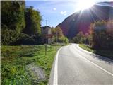
At first, we drive to the center of Kobarid, then continue driving towards the village of Robič and cross into Italy via the former border crossing of the same name. From the border crossing on the Italian side we continue on the main road to the village Štupca / Stupizza. We drive through the village and shortly after the sign marking the end of the village we will notice a transformer and signposts on the left side indicating the start of the trail. There is not much parking space at the trailhead. Not far away in the village Štupca by the river Nadiža there is a large marked parking area.
Route description:
From the transformer, we follow path 725 towards Matajur and ascend diagonally through the forest. For some time we ascend through the forest, from which occasional views open towards the peaks of Mija (Monte Mia) and Vogel (Monte Vogu). The path soon turns slightly to the right and leads us onto steeper slopes above the gully of stream Rio Mainziach. The slope we traverse here is somewhat exposed and the path quite narrow, so a fair amount of caution is required. For some time we continue ascending while traversing the slope, then the path turns left, becomes wider, and the slope gentler. Here the path runs eastward for a while and briefly emerges from the forest onto gentler grassy terrain, offering some views of the surrounding hills. When we re-enter the forest, a cart track joins from the right; we continue straight ahead as also indicated by the signpost beside the path. The path soon brings us back onto grassy terrain where we will notice a football pitch and a volleyball court beside the trail.
Here we cross a slightly wider cart track and continue towards Matajur and the church of Sveti Lovrenc. The path leads us back into the forest, through which we soon ascend to the aforementioned church.
From the church we continue along a cart track that descends gently and brings us to an asphalt road. We turn left and follow the road for a relatively short distance. First another path from the church joins from the left, and shortly afterwards we reach signposts that direct us slightly left into the forest.
We ascend gently for a while, mostly through the forest, until the path brings us to a marked junction. Here we join a slightly wider mule track coming from the nearby village of Jerebi. We continue straight ahead towards Matajur and Marsinska planina. Further on, we ascend for quite some time along this mule track in an east-northeasterly direction. The path we are following is also part of the Cammino delle 44 chiesette votive trail; along the way we will notice the occasional chapel and cross. The path then passes an old building and continues ascending for a longer period along the mule track through the forest. Higher up we emerge from the forest onto relatively gentle grassy slopes that begin to offer increasingly better views. The path then brings us to a marked junction where the more demanding Via Palma joins from the left.
At the junction we continue straight ahead, and the path leads us across grassy slopes where trees become increasingly sparse. Along the way we may still notice an old mountain hut or two, and then the path brings us to Marsinska planina, where there is also a cottage.

Photos:
 1
1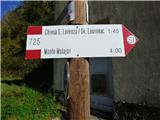 2
2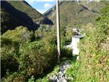 3
3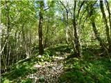 4
4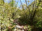 5
5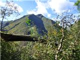 6
6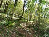 7
7 8
8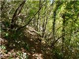 9
9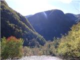 10
10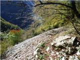 11
11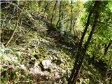 12
12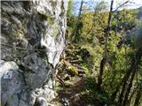 13
13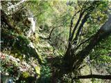 14
14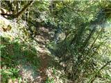 15
15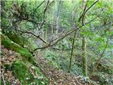 16
16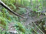 17
17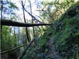 18
18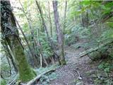 19
19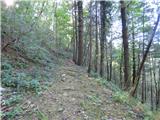 20
20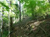 21
21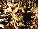 22
22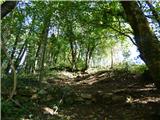 23
23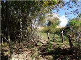 24
24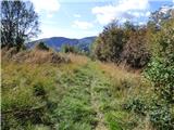 25
25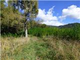 26
26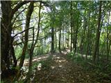 27
27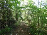 28
28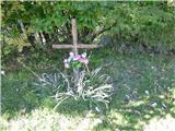 29
29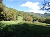 30
30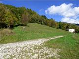 31
31 32
32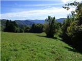 33
33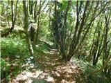 34
34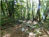 35
35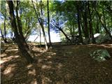 36
36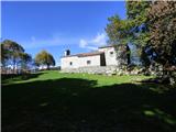 37
37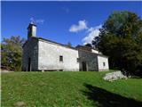 38
38 39
39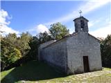 40
40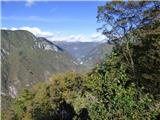 41
41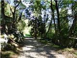 42
42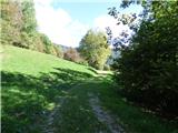 43
43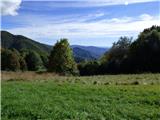 44
44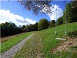 45
45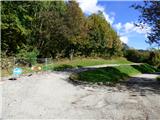 46
46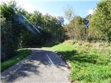 47
47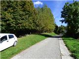 48
48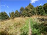 49
49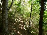 50
50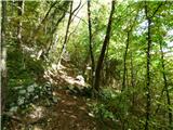 51
51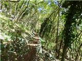 52
52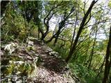 53
53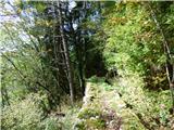 54
54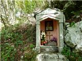 55
55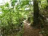 56
56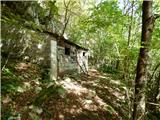 57
57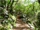 58
58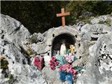 59
59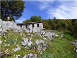 60
60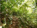 61
61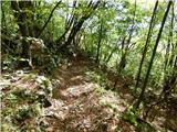 62
62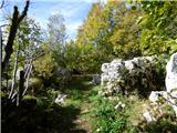 63
63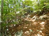 64
64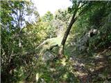 65
65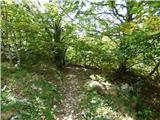 66
66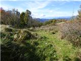 67
67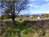 68
68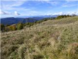 69
69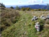 70
70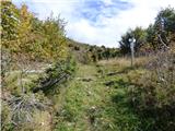 71
71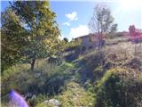 72
72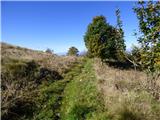 73
73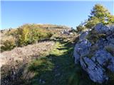 74
74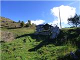 75
75
Discussion about the trip Štupca / Stupizza - Marsinska planina
To post a comment you must log in:
If you do not yet have a username, you must first
register.