Štupca / Stupizza - Ricovero Casera Monte Mia (via Pradol)
Starting point: Štupca / Stupizza (200 m)
| Latitude/Longitude: | 46,20139°N 13,47011°E |
| |
Route name: via Pradol
Walking time: 2 h 50 min
Difficulty: partly demanding marked way
Elevation gain: 770 m
Elevation difference along the route: 790 m
Map: Julijske Alpe - zahodni del 1:50.000
Recommended equipment (summer):
Recommended equipment (winter): ice axe, crampons
Views: 171
 | 2 people like this post |
Access to starting point:
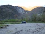
At first, we drive to the center of Kobarid, then continue driving towards the village of Robič and cross into Italy via the former border crossing of the same name. From the border crossing on the Italian side we continue on the main road to the village Štupca / Stupizza. In the center of the village a sign for a parking lot directs us to the right. We then follow the narrow road to a larger gravel parking lot by the river Nadiža.
Route description:
From the parking lot, we turn left onto a cart track that runs parallel to the river Nadiža and leads us to a bridge. We cross the bridge and on the other side of the river reach information boards and signposts. We turn right onto path 754 in the direction of the summit Mija.
At first we walk along a fence on a gentle path beside the river Nadiža. The path then crosses several small bridges and soon brings us to the next marked junction. We continue slightly left in the direction of the summit Mija. To the right a path leads along the river Nadiža to the border with Slovenia, while sharply left a path leads to the nearby climbing area.
From the junction the path ascends past a water catchment and climbs along an old, occasionally paved and stepped trail. The path then continues ascending through the gorge Pradol, through which the river Nadiža flowed millions of years ago. We continue climbing through the interesting gorge full of ferns and mosses; along the path we will also notice numerous information boards describing the plants and animals. This trail then brings us to a marked junction next to which we can see a few more ruins. Here in the past stood the summer village Pradolino, which consisted of about 10 cottages.
The direct path to the right leads upwards towards Planina Mija (Casera Monte Mia), while we continue straight along the Pradol valley towards the saddle Nad Predolom. The path from the junction becomes slightly less steep and continues along the right side of the valley. Further on, the valley becomes somewhat narrower and is surrounded by the precipitous walls of Mija and Vogel. Along this path we then reach the saddle Nad Predolom, where there is a junction.
Straight ahead the path leads down into the valley towards Napoleonov most, while we continue to the right towards the summit of Mija (Monte Mia). From the saddle the path climbs an occasionally quite steep slope, so some caution is required during the ascent. Higher up, the path turns left and the steepness eases a little. The path then leads us mostly through beech forest and runs in an easterly direction. Due to leaves on the path, the trail can be less visible, so we need to pay closer attention to the markings. Higher up we will also notice yellow-red markings along the path, but we continue to follow the white-red markings. Later the path brings us to signposts where we join a cart track. We continue right along the cart track and near Planina Mija we reach another junction. We take the right cart track, which quickly brings us to the mountain pasture.

Along the route: Nad Pradolom (483m)
Photos:
 1
1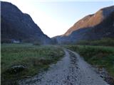 2
2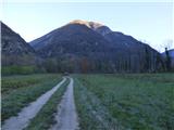 3
3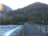 4
4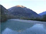 5
5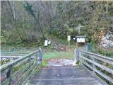 6
6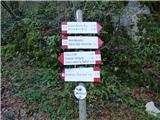 7
7 8
8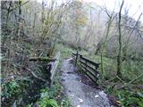 9
9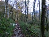 10
10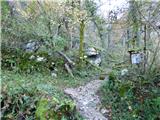 11
11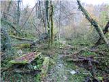 12
12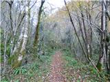 13
13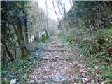 14
14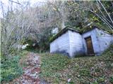 15
15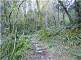 16
16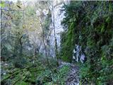 17
17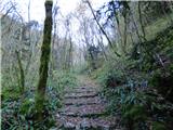 18
18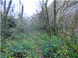 19
19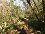 20
20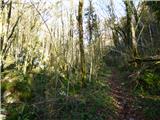 21
21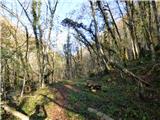 22
22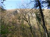 23
23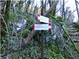 24
24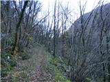 25
25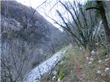 26
26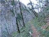 27
27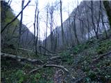 28
28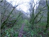 29
29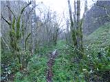 30
30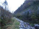 31
31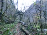 32
32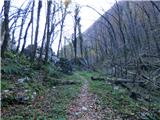 33
33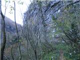 34
34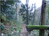 35
35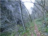 36
36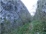 37
37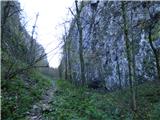 38
38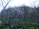 39
39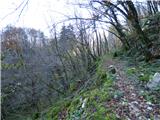 40
40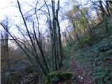 41
41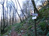 42
42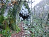 43
43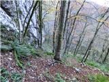 44
44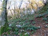 45
45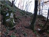 46
46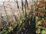 47
47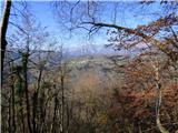 48
48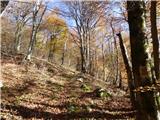 49
49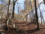 50
50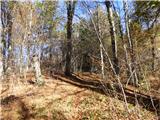 51
51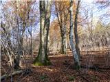 52
52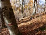 53
53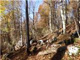 54
54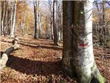 55
55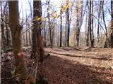 56
56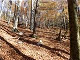 57
57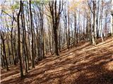 58
58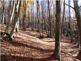 59
59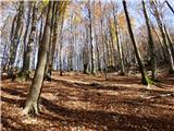 60
60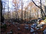 61
61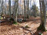 62
62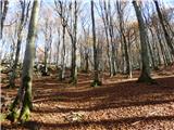 63
63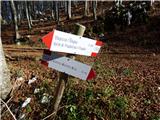 64
64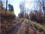 65
65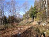 66
66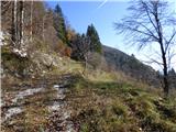 67
67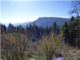 68
68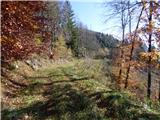 69
69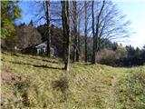 70
70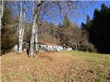 71
71
Discussion about the trip Štupca / Stupizza - Ricovero Casera Monte Mia (via Pradol)
To post a comment you must log in:
If you do not yet have a username, you must first
register.