Suhadole - Koseški hrib (via Mlinčki)
Starting point: Suhadole (331 m)
| Latitude/Longitude: | 46,18740°N 14,54780°E |
| |
Route name: via Mlinčki
Walking time: 50 min
Difficulty: easy marked way
Elevation gain: 136 m
Elevation difference along the route: 156 m
Map:
Recommended equipment (summer):
Recommended equipment (winter):
Views: 3.630
 | 1 person like this post |
Access to starting point:
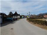
A) We leave the Gorenjska motorway at the Vodice exit, then continue driving towards Kamnik. In Moste pri Komendi we continue right towards Mengeš, and after approximately 200 metres we turn slightly right onto a side road, by which we arrive in Suhadole. We park on a smaller parking lot near the church of St. Klemen in Suhadole.
B) From Kamnik or Komenda we drive towards Vodice, when we cross the main road Brnik - Mengeš, we continue left towards Mengeš, and after approximately 200 metres we turn slightly right onto a side road, by which we arrive in Suhadole. We park on a smaller parking lot near the church of St. Klemen in Suhadole.
C) We drive to Mengeš, then from the main junction in the centre of Mengeš we continue driving towards Kranj. A little further ahead we turn slightly left off the main road onto the road towards Vodice and Topole. When Mengeš ends, the main road towards Vodice soon turns left, and we continue straight onto a narrower road, by which we arrive at the settlement Topole and a little further to Suhadole, where we park on a smaller parking lot next to the church of St. Klemen.
Route description:
From the parking lot at the church, we continue towards the south, and at the crossroads we stick to the right directions. After the last houses in the settlement, the asphalt ends, and we continue on a macadam road which continues by the river Pšata. A little further we cross the mentioned river over the bridge, and then right behind the bridge we continue left. We continue by Pšata for a short time longer, then when the path enters the forest, we cross the right tributary of the mentioned river, and then we follow the signs for Mlinčki. From the road on which we walk occasionally some cart track branches off, and we walk on the road to the marked turn-off for Mlinčki, which directs us left upwards on a wide gently sloping cart track. While walking on the cart track, the path from Bukovica pri Vodicah almost unnoticeably joins us from the right, and we continue straight and after a minute or two of further walking arrive at Mlinčki.
At Mlinčki we continue left and begin to ascend diagonally towards the left. Soon we join a cart track, on which we begin to ascend more steeply, accompanied by the stations of the "Way of the Cross of Slovenianness" along the path, which also serve as orientation aids at a few junctions. During the ascent occasionally some views open towards the Kamnik-Savinja Alps, and higher, when the path levels out, it enters the forest. During the ascent through the forest we join another marked path, we continue straight and past the last two stations of the "Way of the Cross" quickly arrive at the panoramic summit.
Description and pictures refer to the condition in the year 2017 (February).

Photos:
 1
1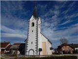 2
2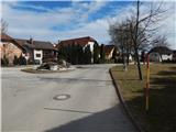 3
3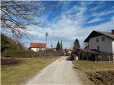 4
4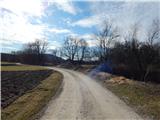 5
5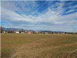 6
6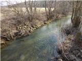 7
7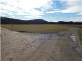 8
8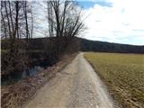 9
9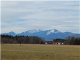 10
10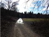 11
11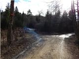 12
12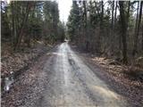 13
13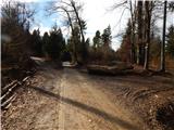 14
14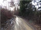 15
15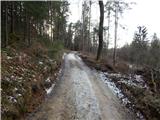 16
16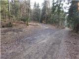 17
17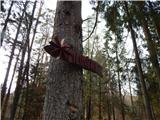 18
18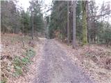 19
19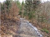 20
20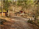 21
21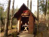 22
22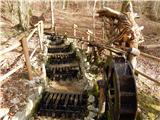 23
23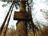 24
24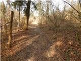 25
25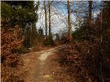 26
26 27
27 28
28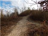 29
29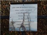 30
30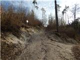 31
31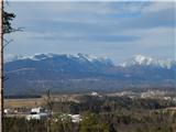 32
32 33
33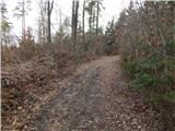 34
34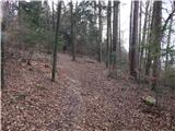 35
35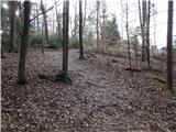 36
36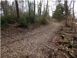 37
37 38
38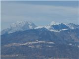 39
39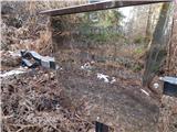 40
40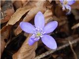 41
41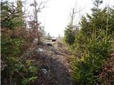 42
42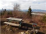 43
43 44
44
Discussion about the trip Suhadole - Koseški hrib (via Mlinčki)
To post a comment you must log in:
If you do not yet have a username, you must first
register.