Žužalče / Susalitch - Blekova planina
Starting point: Žužalče / Susalitch (625 m)
| Latitude/Longitude: | 46,54550°N 13,84400°E |
| |
Walking time: 3 h 15 min
Difficulty: easy marked way
Elevation gain: 1004 m
Elevation difference along the route: 1004 m
Map:
Recommended equipment (summer):
Recommended equipment (winter): ice axe, crampons
Views: 3.816
 | 1 person like this post |
Access to starting point:
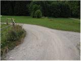
Via the border crossing Korensko sedlo we drive into Austria and then continue right towards Beljak / Villach. Still before we cross the river Zilja / Gail, we leave the road which leads towards Beljak and continue driving right in the direction of Baško jezero / Faaker See. We drive further towards the mentioned lake, but after the place Stopca / Stobitzen we turn right towards Teharče / Techanting and Žužalče / Susalitch (the turn-off is poorly marked). In Teharče we turn right towards Žužalče, and then before we arrive in Žužalče we continue left on a somewhat narrower road, where trail markers for Blekova planina / Blekowa Alm (path no. 685) also direct us. Further we drive on a narrower macadam road which first leads through the forest and then brings us onto grassy terrain (pastures), where we arrive at a smaller crossroads. Here we continue left and then after some 10 m park on a suitable place by the road.
Route description:
Just a few meters after the road enters the forest, the blazes direct us left onto a marked cart track, and at the junctions we follow it right, where the trail markers also direct us. After a few minutes of ascent we return to the road, and then we follow it for quite some time. At the road crossroads we follow the "main" road, and in a gentle to moderate ascent we follow it to Pridovske koče / Pridouhütten.
Here the road first slightly descends and brings us into a smaller valley, where from the right almost unnoticeably joins a marked but quite overgrown path from the village Grpiče / Korpitch. Here we bypass a few huts, and then the road turns sharply to the right and after some 10 steps brings us to the spot where the blazes lead left onto a footpath which then ascends through the forest. After a short ascent we return to the road and after 20 m leave it again. Just a few meters higher we cross the road for the last time, and then we start to ascend steeply through the forest. Higher we ascend over a steep grassy slope surrounded by lush shrubbery, and then the path returns to the forest. The path continues steeply, then crosses a pasture fence and flattens behind it. A gentle ascent follows to the border ridge, and an increasingly panoramic path (view of Dobrač and Martuljek group) brings us to the shepherd's hut on Blekova planina.

Along the route: Pridovske koče (1276m)
Photos:
 1
1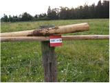 2
2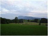 3
3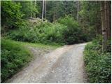 4
4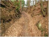 5
5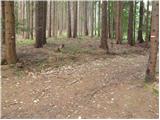 6
6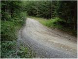 7
7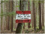 8
8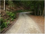 9
9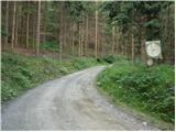 10
10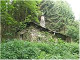 11
11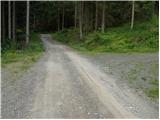 12
12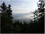 13
13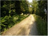 14
14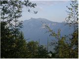 15
15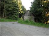 16
16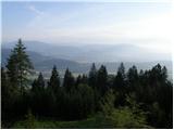 17
17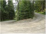 18
18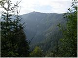 19
19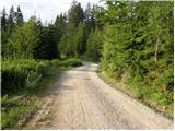 20
20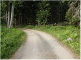 21
21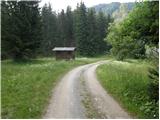 22
22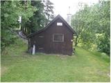 23
23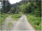 24
24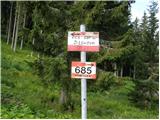 25
25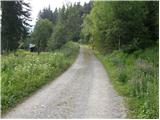 26
26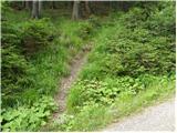 27
27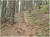 28
28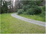 29
29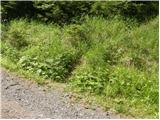 30
30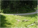 31
31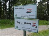 32
32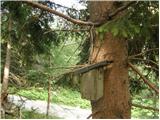 33
33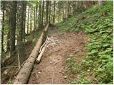 34
34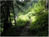 35
35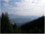 36
36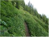 37
37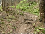 38
38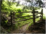 39
39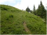 40
40 41
41 42
42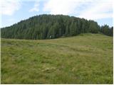 43
43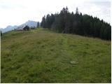 44
44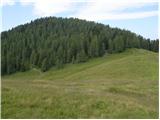 45
45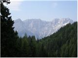 46
46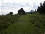 47
47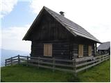 48
48
Discussion about the trip Žužalče / Susalitch - Blekova planina
To post a comment you must log in:
If you do not yet have a username, you must first
register.