Starting point: Szólád (120 m)
Walking time: 1 h 30 min
Difficulty: easy marked way
Elevation gain: 197 m
Elevation difference along the route: 300 m
Map:
Recommended equipment (summer):
Recommended equipment (winter):
Views: 87
 | 1 person like this post |
Access to starting point:
Leave the Tornyszentmiklos-Budapest motorway at the Balatonöszöd, Szólád exit. After the exit, drive to the village of Szólád, which is the first one towards the east.
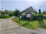
The starting point is next to the church in the centre of the village. There is little parking available at the starting point. Some parking options are available at the southern exit from the village.
Route description:
The trail begins in the centre of the village by the church, where we notice the first signposts. Head to Vadvirag ut street and begin a rapid ascent along the path paved with concrete slabs. The trail initially leads past interesting wine cellars dug into the clay soil, following the red triangle markers.
The trail is initially steep, then gradually flattens and we reach the hill above the village, followed by some slight descent.
We continue past a few weekend cottages, then reach a small valley where the trail turns from the east to the south and continues across meadows where the markers are sparse.
The trail further takes us to the hamlet of Nezdepuszta, where at a sharp left bend we turn northeast and begin a steep ascent again. Here we walk through a belt of scrub, and looking back a beautiful view of Lake Balaton opens up. A little further on we arrive at a park of wooden and stone monuments. There is a small shelter here where we can rest and quench our thirst.
The trail turns right to the south, and at the next rest area, where there is also a lookout tower, a panoramic view opens in all directions. From the rest area it is just a few minutes to the summit of Almán-Tető.
The summit is the highest point of the Somogy parish. It is located in the forest and offers no view.

Photos:
 1
1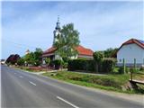 2
2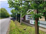 3
3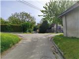 4
4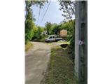 5
5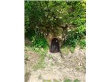 6
6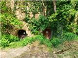 7
7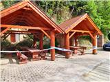 8
8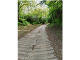 9
9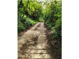 10
10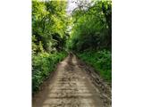 11
11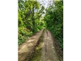 12
12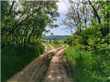 13
13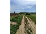 14
14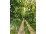 15
15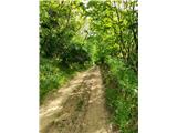 16
16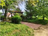 17
17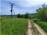 18
18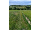 19
19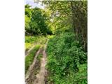 20
20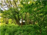 21
21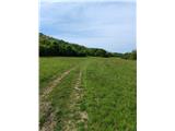 22
22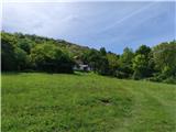 23
23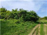 24
24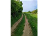 25
25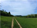 26
26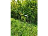 27
27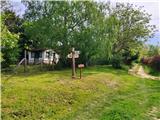 28
28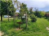 29
29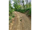 30
30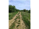 31
31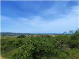 32
32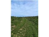 33
33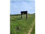 34
34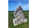 35
35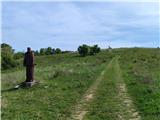 36
36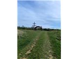 37
37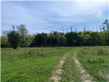 38
38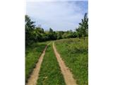 39
39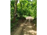 40
40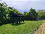 41
41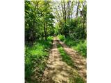 42
42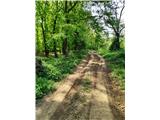 43
43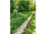 44
44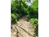 45
45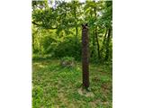 46
46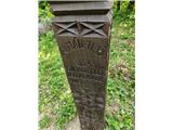 47
47
Discussion about the trip Szólád - Almán-Tető
To post a comment you must log in:
If you do not yet have a username, you must first
register.