Starting point: Tičnica (401 m)
| Latitude/Longitude: | 46,23480°N 14,33090°E |
| |
Walking time: 50 min
Difficulty: easy unmarked way
Elevation gain: 245 m
Elevation difference along the route: 245 m
Map: Škofjeloško in Cerkljansko hribovje 1:50.000
Recommended equipment (summer):
Recommended equipment (winter): crampons
Views: 6
 | 0 people like this post |
Access to starting point:
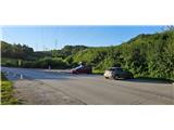
a) We drive to Medvode, then along the old road to Kranj, where at the first traffic light we turn left towards Stražišče and Šmarjetna gora. From the roundabout, where the road to Šmarjetna gora branches off to the right, we continue "straight" (second exit). We continue along the Škofjeloška road, then from a somewhat larger intersection we turn right towards Sv. Jošt nad Kranjem and Čepulj. When Kranj ends we park at the marked parking lot under the high-voltage power line.
b) From the Jesenice - Ljubljana motorway we head to the Kranj west exit, then along the old road towards Ljubljana. Towards the end of Kranj, at the last traffic light we turn right towards Stražišče. From the roundabout, where the road to Šmarjetna gora branches off to the right, we continue "straight" (second exit). We continue along the Škofjeloška road, then from a somewhat larger intersection we turn right towards Sv. Jošt nad Kranjem and Čepulj. When Kranj ends we park at the marked parking lot under the high-voltage power line.
c) From the Ljubljana - Jesenice motorway we head to the Kranj east exit, then follow the signs for Škofja Loka. We leave the road towards Škofja Loka at the point where the signs for Stražišče and Šmarjetna gora direct us right. We continue along the Škofjeloška road, which we leave at a somewhat larger intersection and continue left towards Sv. Jošt nad Kranjem and Čepulj (road signs are only from the opposite direction). When Kranj ends we park at the marked parking lot under the high-voltage power line.
d) We drive to Škofja Loka, then continue driving towards Kranj. When the settlement Zgornje Bitnje ends, we continue left towards Stražišče and Šmarjetna gora. We continue along the Škofjeloška road, which we leave at a somewhat larger intersection and continue left towards Sv. Jošt nad Kranjem and Čepulj (road signs are only from the opposite direction). When Kranj ends we park at the marked parking lot under the high-voltage power line.
Route description:
From the end of the parking lot we continue slightly right along the marked path towards Sv. Jošt. The gentle path initially leads us under the high-voltage power line, but when we reach the edge of the forest it branches.
We continue slightly right along the unmarked path (straight ahead Sv. Jošt), which a little further crosses the route of the high-voltage power line. On the other side of the power line the path returns to the forest, where we choose the path slightly left. A little higher we also bypass the hayrack and the homestead on the left side. Further on the path turns even more to the left, then for some time it gently ascends to the left. When we join the path from Rakovica the path turns right and begins to ascend more steeply. There follows some more ascent through the forest, then we join the macadam road, and soon after also the asphalt road, along which we continue the ascent to the nearby summit of Šmarjetna gora.
The description and pictures refer to the year 2026, the month of July.

Photos:
 1
1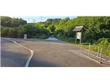 2
2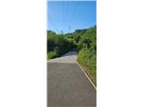 3
3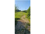 4
4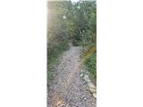 5
5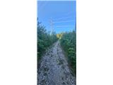 6
6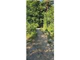 7
7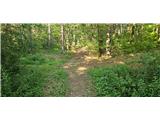 8
8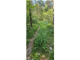 9
9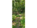 10
10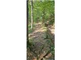 11
11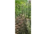 12
12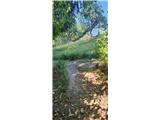 13
13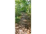 14
14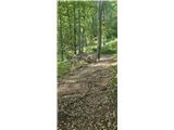 15
15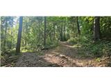 16
16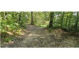 17
17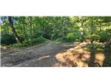 18
18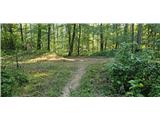 19
19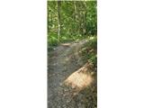 20
20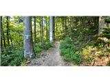 21
21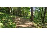 22
22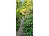 23
23 24
24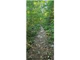 25
25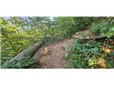 26
26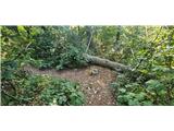 27
27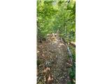 28
28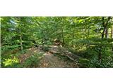 29
29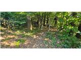 30
30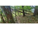 31
31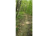 32
32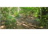 33
33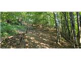 34
34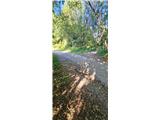 35
35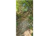 36
36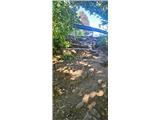 37
37
Discussion about the trip Tičnica - Šmarjetna gora
To post a comment you must log in:
If you do not yet have a username, you must first
register.