Tišina - Gravel pit Kupšinci
Starting point: Tišina (204 m)
| Latitude/Longitude: | 46,65395°N 16,09004°E |
| |
Walking time: 30 min
Difficulty: easy unmarked way
Elevation gain: -10 m
Elevation difference along the route: 2 m
Map: Pomurje 1:40.000
Recommended equipment (summer):
Recommended equipment (winter):
Views: 72
 | 1 person like this post |
Access to starting point:
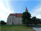
From Murska Sobota we drive towards Radenci or vice versa, but only as far as the settlement Tišina, where the described route begins at the roundabout by the Church of the Nativity of Mary. A larger maintained parking area is located approximately 200 m from the roundabout in the direction towards Radenci, opposite the cemetery.
Route description:
From the roundabout in Tišina we follow the road signs for Vanča vas, or the mountain trail blazes for Bodonci. The path ahead first leads along a sidewalk, which at the sports field turns into a combined pedestrian and cyclist surface. Here the path leads us past the football field on the left and the cemetery on the right. After the cemetery, we turn right from the pedestrian and cyclist surface onto a field path, first carefully crossing the road. The path ahead leads us between fields; at the first crossroads we turn right, and when we reach the eastern side of the nearby company, we turn left. Further on, the field path leads us southeast; at the first crossroads we continue straight ahead, while at the second we turn left and continue north to northeast. Next, we cross the Dobel stream, passing through a strip of forest, and after a few more minutes of walking we reach the Kupšinci gravel pit, which we notice on the left side of the path.
The description and photographs refer to conditions in July and October 2025.

Photos:
 1
1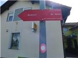 2
2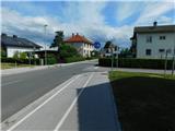 3
3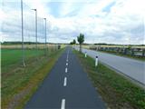 4
4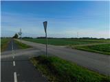 5
5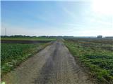 6
6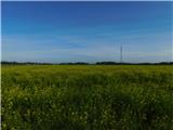 7
7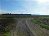 8
8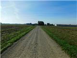 9
9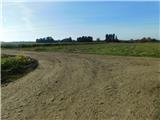 10
10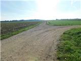 11
11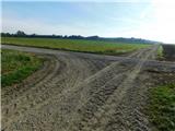 12
12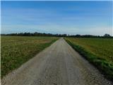 13
13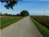 14
14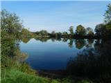 15
15
Discussion about the trip Tišina - Gravel pit Kupšinci
To post a comment you must log in:
If you do not yet have a username, you must first
register.