Tolmin - Kozlov rob (Grajska pot)
Starting point: Tolmin (230 m)
| Latitude/Longitude: | 46,19020°N 13,73050°E |
| |
Route name: Grajska pot
Walking time: 30 min
Difficulty: easy unmarked way
Elevation gain: 196 m
Elevation difference along the route: 196 m
Map: Julijske Alpe - zahodni del 1:50.000
Recommended equipment (summer):
Recommended equipment (winter): ice axe, crampons
Views: 10.459
 | 1 person like this post |
Access to starting point:
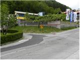
We drive to Tolmin, there at the traffic light on the top of the hill, we turn right (if we come from the direction of Kobarid, left) towards Zatolmin. Further, we drive past the retirement home, after that only a little before the end of Tolmin, or more precisely right in front of the company Moratto Pnews Center, we turn left onto the street Pod gradom. Here is the beginning of our path to Kozlov rob. At the starting point, there are no appropriate parking spots.
Route description:
At the beginning of the street Pod gradom, a first wide asphalt footpath branches off to the right upward, which quickly flattens and becomes macadam. Only a few meters after this, when the footpath flattens, we get to the information board, where we continue sharply right on an ascending footpath. Soon the path brings us to a water reservoir, behind which we get to an unmarked junction.
We continue straight on a footpath which further moderately ascends through the forest and higher starts to turn more and more towards the left. A little further the footpath ascends steeper for a short time, and then it brings us out of the forest, where it joins the educational path (Učna pot). Here we continue slightly left and after a few steps of additional walking, we get to the ruins of the former castle on Kozlov rob.
Photos:
 1
1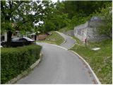 2
2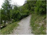 3
3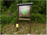 4
4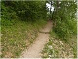 5
5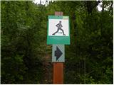 6
6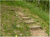 7
7 8
8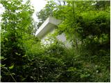 9
9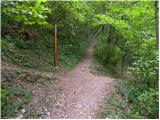 10
10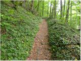 11
11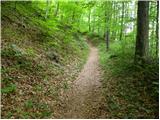 12
12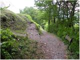 13
13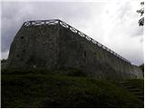 14
14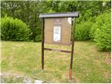 15
15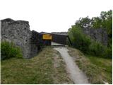 16
16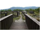 17
17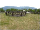 18
18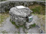 19
19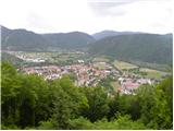 20
20
Discussion about the trip Tolmin - Kozlov rob (Grajska pot)
|
| ločanka4. 04. 2025 06:56:49 |
From picture 10 onwards, the path is no longer the same as shown in this description. It is now macadam and also suitable for driving with a car (not every one of course). Also quite a lot of logging along the path. At the top of the castle ruins and around it, works are taking place.
Currently, the Gozdna pot is surely more suitable and also beautiful.
|
|
|
To post a comment you must log in:
If you do not yet have a username, you must first
register.