Starting point: Tomišelj (315 m)
| Latitude/Longitude: | 45,96250°N 14,48220°E |
| |
Walking time: 2 h 15 min
Difficulty: easy marked way
Elevation gain: 792 m
Elevation difference along the route: 792 m
Map: Ljubljana - okolica 1:50.000
Recommended equipment (summer):
Recommended equipment (winter):
Views: 20.735
 | 1 person like this post |
Access to starting point:
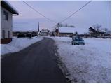
From the southern Ljubljana bypass, we head to the Rudnik exit and follow the road ahead in the direction of Ig. At the roundabout in Ig, we continue right in the direction of Iška vas, and then in the village Staje we continue right towards the village Vrbljene. In Vrbljene we continue right and we continue driving to the village Tomišelj, where on a parking lot by the sports field we also park.
From the Ljubljana - Koper highway we head to the Brezovica exit, and then we continue driving in the direction of Podpeči. In Podpeči we continue in the direction of the village Jezero, and then we follow the signs for Tomišelj, where on a parking lot by the sports field we also park.
Route description:
From the parking lot, we first walk to the presbytery, and there we notice numerous stairs on which we quickly ascend to the church in the village. On the top of the stairs we notice signs for Krim, which direct us right onto a cart track which immediately enters the forest. The cart track, which ascends moderately, only occasionally a little more steeply, higher crosses some forest roads, and then joins the usually better beaten path from Strahomer.
We continue slightly right in the direction of Krim (left downhill Vrbljene and Strahomer) on a somewhat steeper cart track which higher crosses a forest road. The cart track, which all the time runs through the forest, flattens again and a little further brings us to the next junction, where from the right joins the path from Podpeči and Preserij. We continue on a wide, moderately steep cart track which higher brings us to a macadam road which leads to Krim. We follow the mentioned road to the left, and it quickly brings us to a larger parking lot, or turning point, where from the left joins the path from Iški Vintgar (also the path from Iška vas and the path from Strahomer over Kramarca). Here we continue right through a meadow on the path which, past a cross, brings us to the summit of Krim in a few additional minutes of walking.

Photos:
 1
1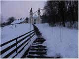 2
2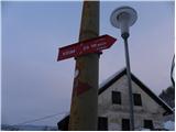 3
3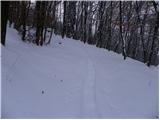 4
4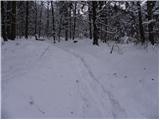 5
5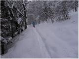 6
6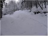 7
7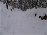 8
8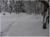 9
9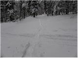 10
10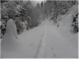 11
11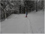 12
12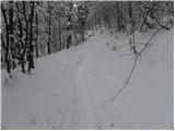 13
13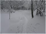 14
14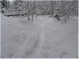 15
15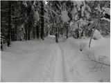 16
16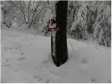 17
17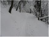 18
18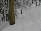 19
19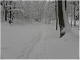 20
20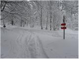 21
21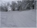 22
22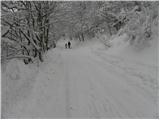 23
23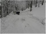 24
24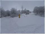 25
25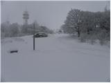 26
26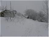 27
27 28
28
Discussion about the trip Tomišelj - Krim
|
| miamia4. 05. 2015 |
On 25.4.2015 we went on this trail, very pleasant, and our 5-year-old managed it without problems, we took 2.5 hours - really slowly.
|
|
|
|
| bobeka11. 05. 2015 |
The trail is great otherwise, but it's missing some markings for less experienced hikers. At the beginning there are many forest paths that cross the main trail and due to logging work are quite fresh and mislead hikers. If you stick to the left paths you won't get too lost, but still it's not nice to hike through the forest with some doubt.
|
|
|
|
| Mikens23. 06. 2019 |
IMPORTANT!
I ask all hikers to keep their dogs on a leash! (bear area.)
Best hunting regards.
Klement Mal, LD Tomišelj
|
|
|
To post a comment you must log in:
If you do not yet have a username, you must first
register.