Topličica - Veliki Lubenjak
Starting point: Topličica (232 m)
Walking time: 1 h
Difficulty: easy marked way
Elevation gain: 358 m
Elevation difference along the route: 380 m
Map:
Recommended equipment (summer):
Recommended equipment (winter):
Views: 1.628
 | 2 people like this post |
Access to starting point:
Leave the Varaždin - Zagreb motorway at the Novi Marof exit. Drive to the town and from the roundabout continue towards Zlatar. After the settlement of Novi Marof, go through the village of Madžarevo, behind which our starting point, the village of Topličica, is located. We can park at the parking lot by the pools.
Route description:
From the parking lot at the pool, we go back towards Novi Marof, where we will see information boards directing us left uphill to Grebengradska Street. We ascend increasingly steeply along the road to the highest-lying houses in the village. When the road begins to descend, we go right, aided by the marker on the path. We continue past the abandoned hunting lodge and reach the forest.
Through the forest, we walk on a wide cart track that rises moderately, and soon we arrive at an unmarked junction where we go left. We always follow the wider and well-maintained road; when the forest thins out, a path from the village of Madžarevo joins from the right, and after this junction, the path begins to ascend more steeply.
After a short ascent, we cross to the western slope, where the path also levels out. After one bend, we will see the ruins of Grebengrad Castle in the distance.
When the path begins to descend steeply for a short time, we are near the exit from the forest, where a path from the village of Podrute joins almost imperceptibly from the left (officially abandoned path). A little further on, we reach the meadow of the abandoned Novoselec farm, where the Grebengrad mountain hut is also located.
From the hut, we go left north (a sign on the farm helps) and a little further left again towards the west. The path then leads past a hunting hut, and soon we reach the next junction, where a short path branches left towards the ruins of Grebengrad Castle (worth seeing despite the ruins); we continue right towards the summit on a level path. After a few minutes of further walking, we exit the forest again, and markers on the trees assist with the continued ascent.
On the meadow, path orientation is relatively easy, as we see a large wooden cross ahead, which the path passes by. Behind the cross, from where we have a nice view to the south, we return to the forest and after a short steep ascent reach the forested summit.

Photos:
 1
1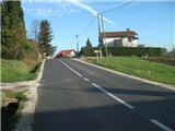 2
2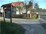 3
3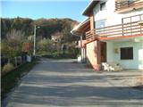 4
4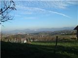 5
5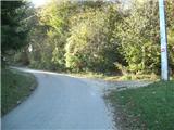 6
6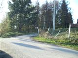 7
7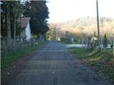 8
8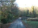 9
9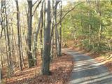 10
10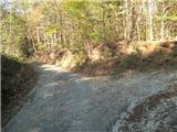 11
11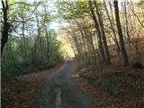 12
12 13
13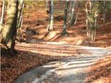 14
14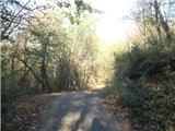 15
15 16
16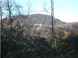 17
17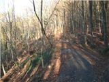 18
18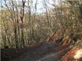 19
19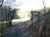 20
20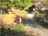 21
21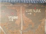 22
22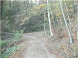 23
23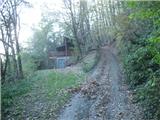 24
24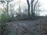 25
25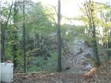 26
26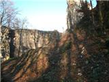 27
27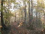 28
28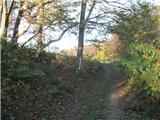 29
29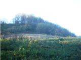 30
30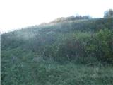 31
31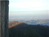 32
32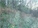 33
33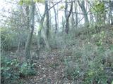 34
34 35
35
Discussion about the trip Topličica - Veliki Lubenjak
To post a comment you must log in:
If you do not yet have a username, you must first
register.