Topol pri Medvodah (Katarina) - Rog
Starting point: Topol pri Medvodah (Katarina) (700 m)
| Latitude/Longitude: | 46,09370°N 14,36950°E |
| |
Walking time: 30 min
Difficulty: easy unmarked way
Elevation gain: 98 m
Elevation difference along the route: 98 m
Map: Ljubljana - okolica 1:50.000
Recommended equipment (summer):
Recommended equipment (winter):
Views: 6.397
 | 2 people like this post |
Access to starting point:
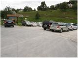
a) From Ljubljana, Kranj or Vodice we drive to Medvode, from there we continue driving towards Sora. At the junction at the beginning of Sora, immediately after the small bridge we turn left in the direction of Katarina and the village of Trnovec. We continue driving through the Ločnica valley towards Katarina (Topol). Higher up the road rises above the mentioned valley and takes us to the beginning of the village of Topol, where we park in the large parking lot next to the primary school.
b) First we drive to Škofja Loka, from there we continue driving towards Sora. At the end of Sora we turn right in the direction of Katarina and the village of Trnovec. We continue driving through the Ločnica valley towards Katarina (Topol). Higher up the road rises above the mentioned valley and takes us to the beginning of the village of Topol, where we park in the large parking lot next to the primary school.
c) We leave the Primorska motorway at the Brezovica exit, then continue driving in the direction of Dobrova and Polhov Gradec. We continue driving through the Gradaščica valley, but follow the main road towards Polhov Gradec to a smaller junction, where a road branches off to the right towards the villages of Osredek, Topol (Katarina) and Belo (the turn-off from the main road is located just before the beginning of the village of Hrastenice). When we arrive in the village of Topol, a road first branches off sharply to the left towards the village of Belo, and a little further on the signs for Medvode direct us slightly left onto a road that gradually begins to descend. Just before the road begins to descend more steeply towards the Ločnica valley, we arrive at the primary school, where we park in the large parking lot.
Route description:
From the parking lot we ascend along the asphalted road a few dozen steps to a junction where we notice numerous signposts. We continue left in the direction of Sveta Katarina, Sveti Jakob and Jeterbenk. The relatively steep asphalted road then takes us after a few minutes of walking to a poorly marked junction at the chapel, where we continue right towards Sveta Katarina and Jeterbenk (left Sveti Jakob). The path then leads us past numerous mountain signs to the church of Sveta Katarina, where we also leave the road. Just a few steps before the cemetery wall we continue left and ascend slightly along the edge of the wall. At the end of the wall we continue left along a poorly visible cart track overgrown with grass. After a few dozen steps we leave the mentioned cart track and continue along a well-trodden path, which we then follow to the scenic summit.
Photos:
 1
1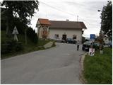 2
2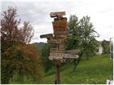 3
3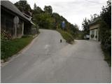 4
4 5
5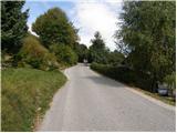 6
6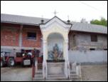 7
7 8
8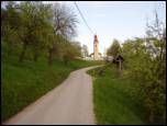 9
9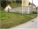 10
10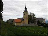 11
11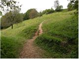 12
12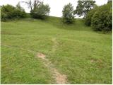 13
13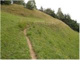 14
14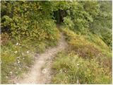 15
15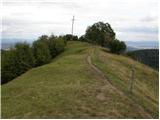 16
16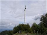 17
17
Discussion about the trip Topol pri Medvodah (Katarina) - Rog
|
| grega_p16. 09. 2010 |
Apple picking time on nearby trees, nice viewpoint and proximity to Ljubljana - recommend for a morning nature refresh.
The cross at the top is slightly severed (lightning?).
|
|
|
|
| laik19. 03. 2017 |
On the return to Jeterbenka also to Rog...cross knocked down...
|
|
|
|
| viharnik20. 03. 2017 |
The wind knocked it down.
At a friend's who has a house in Stanežiče on the edge of the forest, a huge spruce was knocked down then, and it blew so hard from the north that even the oldest there don't remember!.
|
|
|
To post a comment you must log in:
If you do not yet have a username, you must first
register.