Topol pri Medvodah (parkirišče za Grmado) - Tošč
Starting point: Topol pri Medvodah (parkirišče za Grmado) (651 m)
| Latitude/Longitude: | 46,09067°N 14,36785°E |
| |
Walking time: 2 h
Difficulty: easy marked way
Elevation gain: 370 m
Elevation difference along the route: 415 m
Map: Ljubljana - okolica 1:50.000
Recommended equipment (summer):
Recommended equipment (winter): ice axe, crampons
Views: 27.080
 | 3 people like this post |
Access to starting point:
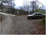
a) From Medvode we drive to the village Sora, where we head towards the village Topol (Katarina). When the road brings us to the mentioned village we turn right and follow it further. Soon it brings us to the next intersection, where the road to the village Belo branches off to the right. We park a little further on the parking lot by the road.
b) From Dobrova we drive on towards Polhov Gradec. When the sign for the village Topol directs us right we turn onto this road and follow it further to the intersection for the village Belo, where we park on a smaller parking lot by the road. We park a little further on the parking lot by the road.
Route description:
From the parking lot we continue along the gravel road towards the village Belo. After about 10 minutes of walking we leave the road and continue slightly right towards Grmada. We continue further along a initially wide cart track that crosses the slopes without major changes in elevation. After a few more minutes of walking a relatively steep footpath branches off to the left from the cart track, along which we continue the ascent. After a few minutes the steepness eases and the path brings us to a small saddle, where we continue right (left unmarked path to Goljek).
We continue along the path that with some descents and ascents crosses the slopes towards the west. The path from which some views occasionally open up brings us after about 1 hour of walking to a junction next to which a pleasant bench is placed.
We continue right towards the tourist farm Gonte (left Setnica, straight Grmada) along a wide path that with a few short descents and ascents quickly brings us to the mentioned farm.
Left of the tourist farm we will notice mountain markings for Tošč, which direct us onto a folded and wide cart track. The marked path leaves the cart track a little higher and then begins to ascend more steeply. The path, which runs almost entirely through the forest, brings us higher to the summit of Mali Tošč (902m) from which the path begins to descend towards the saddle between the two peaks.
Further on the path from Govejka joins from the right, and we continue straight along the path that ascends towards the summit of Tošč. After about 15 minutes of further walking the path brings us to a pleasant summit.
Topol - Gonte 1:15, Gonte - Tošč 45 minutes.

Along the route: Setnica (Turistična kmetija Gonte) (820m), Mali Tošč (902m)
Photos:
 1
1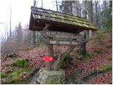 2
2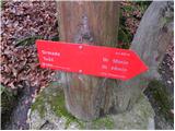 3
3 4
4 5
5 6
6 7
7 8
8 9
9 10
10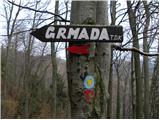 11
11 12
12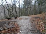 13
13 14
14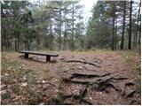 15
15 16
16 17
17 18
18 19
19 20
20 21
21 22
22 23
23 24
24 25
25 26
26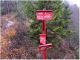 27
27 28
28 29
29 30
30 31
31 32
32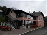 33
33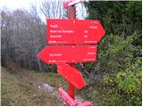 34
34 35
35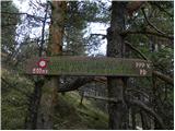 36
36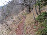 37
37 38
38 39
39 40
40 41
41 42
42 43
43 44
44 45
45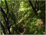 46
46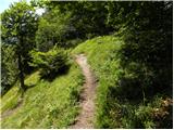 47
47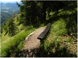 48
48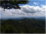 49
49 50
50 51
51 52
52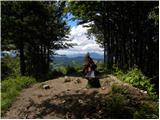 53
53 54
54
Discussion about the trip Topol pri Medvodah (parkirišče za Grmado) - Tošč
|
| Gost17. 09. 2007 |
A bit longer path. Sad that there is no lookout tower at the top.
|
|
|
|
| podplat4. 04. 2010 |
Yesterday my wife and I set off for Tošč. In the valley nasty fog, the higher we went the brighter it got. Soon the sun shone on us and it stayed that way until the top of Tošč. At the top it started blowing strongly, so we quickly went back. At some places the path was very muddy, additionally softened by orienteering recreationalists who had some competition. Otherwise a nice hike to breathe fresh air and relax the mind. Best regards Tanja and Borut.
|
|
|
To post a comment you must log in:
If you do not yet have a username, you must first
register.