Trakoščan - Ravna Gora (Prebukovska pot )
Starting point: Trakoščan (275 m)
Route name: Prebukovska pot
Walking time: 1 h 30 min
Difficulty: partly demanding marked way
Elevation gain: 419 m
Elevation difference along the route: 470 m
Map:
Recommended equipment (summer):
Recommended equipment (winter): ice axe, crampons
Views: 579
 | 1 person like this post |
Access to starting point:
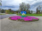
We arrive in Croatia via the Gruškovje / Macelj border crossing. We leave the motorway at the first exit and drive towards Ivanec and Varaždin. When we reach Trakoščan, we park in the large parking lot.
Route description:
From the large parking lot we go uphill to the hotel. We bypass the hotel on the right side and enter the forest, where we pass an abandoned hut.
The path ahead first ascends, then continues for about 20 minutes on a gravel road, followed by some shorter ascents and descents.
After a while our path leaves the gravel road but returns to it after a minute, and after a longer bend the path turns east.
The path further takes us out of the forest into the hamlet Vrbanići of the settlement Meljan. A somewhat longer walk on asphalt through the village follows, where the path leads past a chapel and a wayside shrine.
When the asphalt ends we reach a junction where the Kotarščak path branches off to the left, we go right slightly downhill. Along this path we reach the asphalt, where the path becomes very steep and takes us from the village Meljan to the village Prebukovje.
Here we arrive at a junction where we go left uphill and continue steeply ascending. After the left bend the asphalt ends, at the highest farm Kušenić the path returns to the forest.
The path ahead ascends through a gully, which is quite steep and also features some easier rocky steps. When the gradient eases slightly we reach a junction where the Zvonareva path from the village Bednja crosses ours.
Here behind the junction we are still in the gully and go over some rocky steps again. When we reach the rock where we notice the power supply for Filićev dom, a view to the west opens up. An ascent in numerous switchbacks follows, passing some more difficult spots, then we arrive at the mountain hut Filićev dom.
Just before the hut a path branches off to the Balkon via ferrata (extremely demanding).
At the hut we can rest and refuel.
To the summit we go left at the forest exit and reach the supply path to the Pusti Duh hut, located further northwest. After some walking we reach the paragliding take-off site and Zupci cliffs. Here we enter the forest again and after a minute of steep ascent through dense forest arrive at the summit of Ravna Gora. The summit is in the forest with no view, but there is a lookout tower on top from which a nice panorama unfolds.
Varaždin mountaineers also call the path Bob steza.
The described path is very slippery when wet.

Photos:
 1
1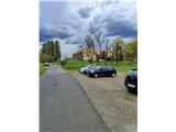 2
2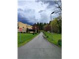 3
3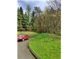 4
4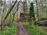 5
5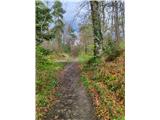 6
6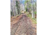 7
7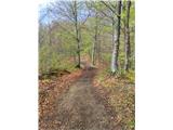 8
8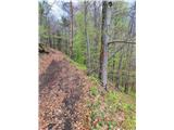 9
9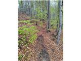 10
10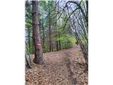 11
11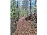 12
12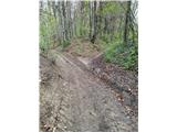 13
13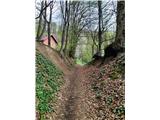 14
14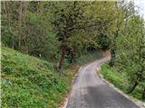 15
15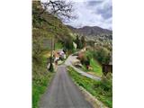 16
16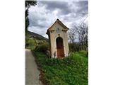 17
17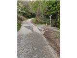 18
18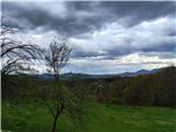 19
19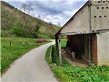 20
20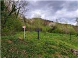 21
21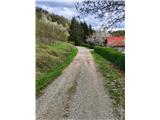 22
22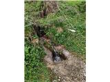 23
23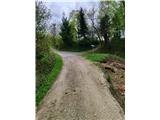 24
24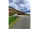 25
25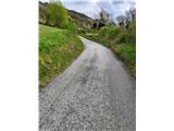 26
26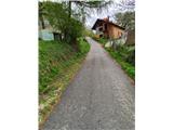 27
27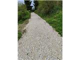 28
28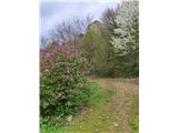 29
29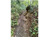 30
30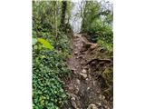 31
31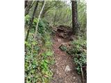 32
32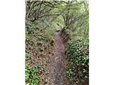 33
33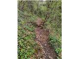 34
34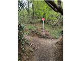 35
35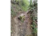 36
36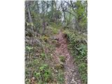 37
37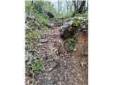 38
38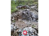 39
39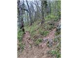 40
40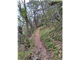 41
41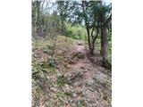 42
42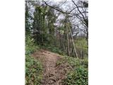 43
43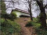 44
44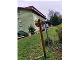 45
45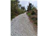 46
46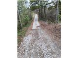 47
47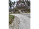 48
48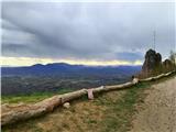 49
49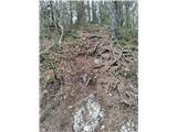 50
50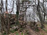 51
51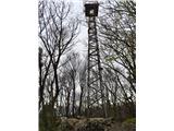 52
52
Discussion about the trip Trakoščan - Ravna Gora (Prebukovska pot )
To post a comment you must log in:
If you do not yet have a username, you must first
register.