Trakoščan - Ravna Gora (via Kotarščak)
Starting point: Trakoščan (275 m)
Route name: via Kotarščak
Walking time: 1 h 30 min
Difficulty: easy marked way
Elevation gain: 419 m
Elevation difference along the route: 460 m
Map:
Recommended equipment (summer):
Recommended equipment (winter):
Views: 825
 | 1 person like this post |
Access to starting point:
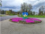
We enter Croatia via the Gruškovje / Macelj border crossing. We leave the motorway at the first exit and drive towards Ivanec and Varaždin. When we reach Trakoščan, we park in the large parking lot.
Route description:
From the large parking lot, we go uphill to the hotel. We bypass the hotel on the right side and enter the forest, passing an abandoned hut.
The path ahead first ascends, then continues for about 20 minutes on a cart track with some shorter ascents and descents.
After a while, our path leaves the cart track but returns to it after a minute; after a longer bend, the path turns east.
The path further takes us from the forest to the hamlet Vrbanići in the settlement Meljan. This is followed by a longer walk on asphalt through the village, passing a chapel and a wayside shrine.
When the asphalt ends, we reach a junction where a path to the village Prebukovje and the hut Filićev dom branches right; we go left.
We ascend further on a road that becomes narrower and steeper. At the next chapel, the path turns sharply right; a bit further, we reach the Digula farmstead where a path from the Cvetlin settlement joins from the left. We continue straight and soon reach the highest house in Meljan village. Here we turn sharply left and re-enter the forest.
The path continues west, ascending moderately, passing a spring; after it, we reach the only short technically demanding section over a short cliff where we must use our hands for easier progress. After this, a longer bend follows and the path turns east again.
The path becomes steeper again, rocky surface; higher up, we emerge from the forest onto a clearing where the path turns left into shrubbery. More ascent follows and we reach the access road to the Sveti Duh hut, left along the road about one minute away. A short detour to the hut rewards with a fine northwest view.
For the summit ascent, continue on the road; after two more minutes, we reach the church of the Three Kings where Zvonareva pot joins.
Further into the forest and the final ascent to Ravna Gora summit. At the top is a rock with stamp and lookout tower. Despite low elevation, exceptional all-round view from the tower. On clear days, Alps to the west and volcanoes near Balaton to the east.

Photos:
 1
1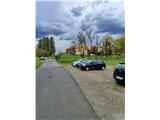 2
2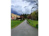 3
3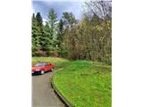 4
4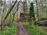 5
5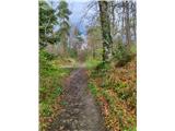 6
6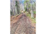 7
7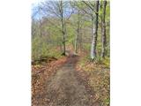 8
8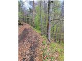 9
9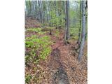 10
10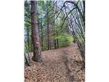 11
11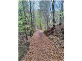 12
12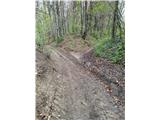 13
13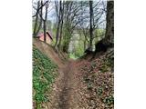 14
14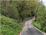 15
15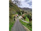 16
16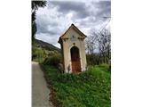 17
17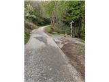 18
18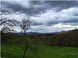 19
19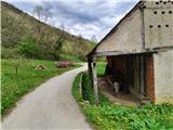 20
20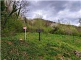 21
21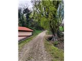 22
22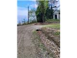 23
23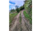 24
24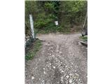 25
25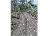 26
26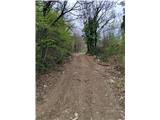 27
27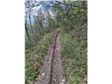 28
28 29
29 30
30 31
31 32
32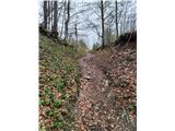 33
33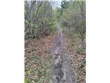 34
34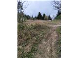 35
35 36
36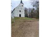 37
37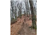 38
38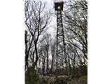 39
39
Discussion about the trip Trakoščan - Ravna Gora (via Kotarščak)
To post a comment you must log in:
If you do not yet have a username, you must first
register.