Trate (Blejska Dobrava) - Boršt
Starting point: Trate (Blejska Dobrava) (600 m)
| Latitude/Longitude: | 46,41050°N 14,09430°E |
| |
Walking time: 1 h
Difficulty: easy unmarked way
Elevation gain: 331 m
Elevation difference along the route: 331 m
Map: TNP 1:50.000
Recommended equipment (summer):
Recommended equipment (winter): ice axe, crampons
Views: 1.904
 | 2 people like this post |
Access to starting point:
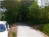
From the highway Ljubljana - Jesenice, at the exit Jesenice east (Lipce, Sp. Gorje) at the crossroad we turn left, in the direction of Sp. Gorje, and drive into the highway underpass. After the second underpass (railway) we find ourselves at the next crossroad, where we turn left, uphill towards Blejska Dobrava. Towards the top of the slope we have to pay attention, because immediately when the road flattens we turn at right angles right onto a side road which among houses is slightly ascending and turning to the left. We drive only a short time, to the spot where the asphalt ends, and if possible park on the left side of the road. We can continue driving to the upper part of the village named Trate, which is located not far ahead on the road.
Route description:
We go on a macadam road. This soon changes back to asphalt and quickly brings us to the settlement, where at the first crossroad we ignore the right turn-off. After a gentle descent follows the second crossroad, in which we turn right past a trough (by the path sign "Vintgar"), and immediately thereafter slightly left, among houses. Soon after, when the road changes into a cart track, we encounter a cart track from the right, onto which we turn, and continue uphill, over a shorter strip of meadow into the forest. In a short time the cart track turns left and ascends more steeply towards the summit. When the steepness somewhat eases we reach a junction, where we continue left. Higher up, after a right bend follows another junction, where we also choose left, and continue the ascent. When the steepness eases again somewhat, at the third junction we ignore the left turn-off and continue straight, soon thereafter at the next junction we turn left onto a cart track that ascends more steeply towards the summit. When higher we step out of the forest we ignore yet another left turn-off of the cart track, and the path soon brings us onto a plain below the cut eastern slope of Boršt. Here we turn right, and the cart track after a gentle ascent quickly brings us into the forest, where at the bend of the path (before it descends) there is a junction. Here we turn perpendicularly left onto a cart track that steeply ascends the north-eastern slope of Boršt. On the trunk of one of the spruces we might notice a "Notice" to hikers. Continuing during the steeper ascent we keep to the right side of the "marked route" mentioned in the notice, which means that we do not walk all the time on the cart track, but occasionally on the path to its right, which is somewhat trodden all the way to the top (walking on the cart track also brings us to the destination). Since the peak of Boršt due to the trees does not offer a special view into the valley, we can enjoy this on the eastern slope, a few meters lower. Here we will be able to look out from Pusti Rovt on the left, across the Karawanks and part of the Kamnik Alps, and the wide Ljubljana Basin, to the slopes of Jelovica on the right.

Photos:
 1
1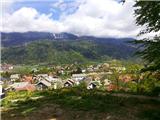 2
2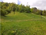 3
3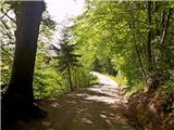 4
4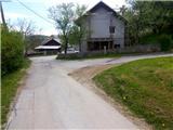 5
5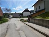 6
6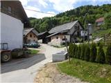 7
7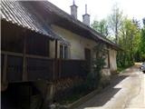 8
8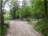 9
9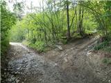 10
10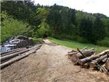 11
11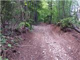 12
12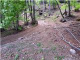 13
13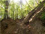 14
14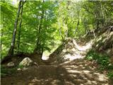 15
15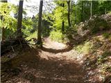 16
16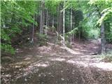 17
17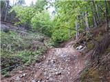 18
18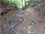 19
19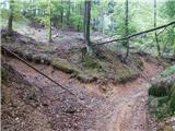 20
20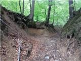 21
21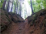 22
22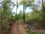 23
23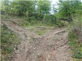 24
24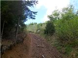 25
25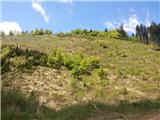 26
26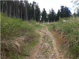 27
27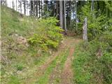 28
28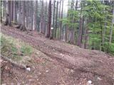 29
29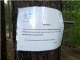 30
30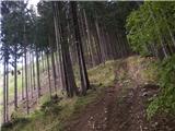 31
31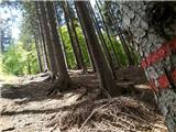 32
32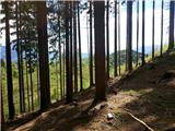 33
33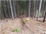 34
34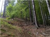 35
35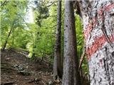 36
36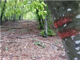 37
37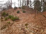 38
38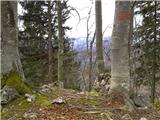 39
39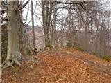 40
40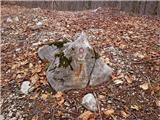 41
41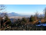 42
42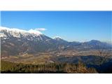 43
43
Discussion about the trip Trate (Blejska Dobrava) - Boršt
|
| Jusk4. 01. 2020 |
The path is good, here and there a bit wet and muddy, also very overgrown towards the top.. really nice views from the path descent from Boršt via the path towards Gorje, I went further to Vintgar on the Gorje side then past Sv. Katarina back to Blejska Dobrava descent from Boršt via the path towards Gorje, I went further to Vintgar on the Gorje side then past Sv. Katarina back to Blejska Dobrava
|
|
|
|
| Jusk17. 02. 2020 |
Today from Bl. Dobrava to Sv. Katarina, around Homa to Vintgar, then to Boršt and back to Dobrava via this trail past Vrš..trail is fine, just below Boršt summit down towards Vrše there is so much leaves on the trail that you "wade" through it..up to knees only a few meters of trail, but interesting, if no snow to wade through then leaves
|
|
|
To post a comment you must log in:
If you do not yet have a username, you must first
register.