Travnarjev gozd (Hotenjsko podolje) - Šenčurjev vrh
Starting point: Travnarjev gozd (Hotenjsko podolje) (503 m)
| Latitude/Longitude: | 45,90850°N 14,16260°E |
| |
Walking time: 1 h 50 min
Difficulty: easy marked way
Elevation gain: 222 m
Elevation difference along the route: 310 m
Map:
Recommended equipment (summer):
Recommended equipment (winter):
Views: 2.074
 | 1 person like this post |
Access to starting point:
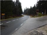
A) First, we drive to Logatec (to here from the highway Ljubljana - Koper, exit Logatec, Vrhnike or Žirov), and then we continue driving towards Postojna, Idrija and Tolmin. At Kalcah, at both crossroads we continue straight (at the first crossroad left to Postojna and Planina, at the second left to Col) and then we drive on the main road towards Idrija. Before we arrive at the settlement Hotedršica, we will notice signs for the village Ravnik pri Hotedršici, which direct us to the right onto a narrower local road, along which after a few meters we park at an appropriate place by the road. From the crossroad at Kalcah to the turn-off of the road towards Ravnik is a little less than 3 km.
B) First, we drive to Godovič (to here from Črnega Vrha or Idrije), from there we continue driving towards Logatec. A few kilometers after the settlement Hotedršica we arrive at the spot where the road branches off to the left towards the settlement Ravnik pri Hotedršici (the turn-off of the road is located a few tens of meters ahead of the bus stop). We drive onto the mentioned road, along which we then park at an appropriate place by the road.
Route description:
From the starting point, we continue along the road by which we have parked, along it we first ascend through the forest, after the left bend we arrive at panoramic grassy slopes. After a good 15 minutes we arrive at the first houses in the village Ravnik pri Hotedršici, where the path leads past the open-doors farm Pr Urbanovc. The path ahead leads us among fields, meadows and pastures all the way to the next part of the settlement, where there is a company in which they cut wood. Behind the sawmill, on the left we already notice the hill on which stands the church of St. Barbara, and we continue along the asphalt road to another hamlet, there before the first house we continue onto the path whose beginning we notice at the fence of the electric shepherd. For some time we continue along the fence, then the path turns right and through a strip of forest in a minute of further walking brings us to the church of St. Barbara.
From the church we return to the asphalt road and continue along it past a cross, after which we arrive at the triangular crossroad where the marks direct us to the right. At the crossroad on the right we notice the monument-protected older house, while the macadam road further leads past a few more houses. The village soon ends, and we continue the path along the forest road, which continues with some shorter ascents and descents. When higher we leave the forest through which we walk for some time, we arrive at the next crossroad, where we continue left along the road which further leads us across the grassy hayfields of Kozjega vrha (665 m).
From Kozjega vrha there follows some descent, then we arrive at the abandoned hamlet where on one of the houses we notice the NOB plaque. The macadam road for a short time still mostly gently descends, then moderately ascends to the next somewhat larger crossroad, where we continue left (right Žibrše). The path ahead crosses the slopes towards the left, then takes us among pastures to the crossroad where we leave the marks. Before the nearby house we continue onto the right road, which gently ascends along the increasingly panoramic slope. When the road flattens completely, on the left side we will notice a bench and next to it a panorama board, to which only a few dozen steps of easy walking separate us.
Description and pictures refer to the condition in 2014 (December).

Photos:
 1
1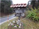 2
2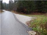 3
3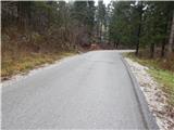 4
4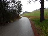 5
5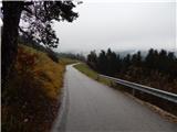 6
6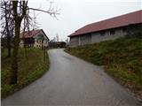 7
7 8
8 9
9 10
10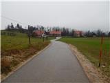 11
11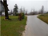 12
12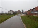 13
13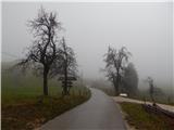 14
14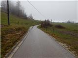 15
15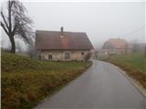 16
16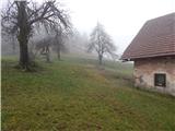 17
17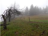 18
18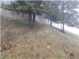 19
19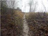 20
20 21
21 22
22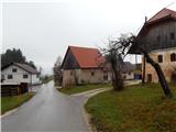 23
23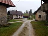 24
24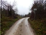 25
25 26
26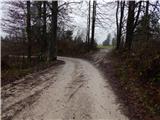 27
27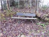 28
28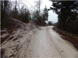 29
29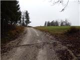 30
30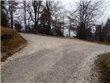 31
31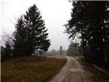 32
32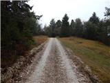 33
33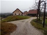 34
34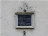 35
35 36
36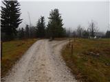 37
37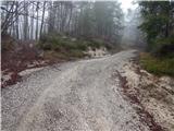 38
38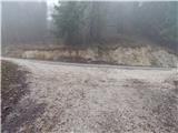 39
39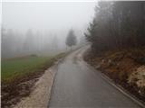 40
40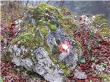 41
41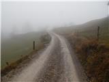 42
42 43
43 44
44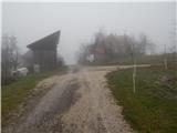 45
45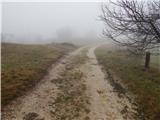 46
46 47
47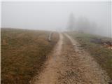 48
48 49
49 50
50 51
51 52
52
Discussion about the trip Travnarjev gozd (Hotenjsko podolje) - Šenčurjev vrh
To post a comment you must log in:
If you do not yet have a username, you must first
register.