Tremerje - Hotel Celjska koča
Starting point: Tremerje (242 m)
| Latitude/Longitude: | 46,20190°N 15,23620°E |
| |
Walking time: 2 h
Difficulty: easy marked way
Elevation gain: 410 m
Elevation difference along the route: 520 m
Map:
Recommended equipment (summer):
Recommended equipment (winter):
Views: 4.243
 | 2 people like this post |
Access to starting point:
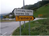
Tremerje is a settlement between Celje and Zidani Most.
a) From the direction of Celje, we turn right and near the settlement sign there are available parking spots. In the opposite direction there is a bridge over the Savinja.
b) From the direction of Zidani Most or Laško, we turn left and near the settlement sign there are available parking spots.
c) The bus stop right next to the starting point enables arrival also by public transport.
Route description:
From the starting point Tremerje we go over a bridge on the opposite - left bank of the Savinja and at the beginning we walk by the Celje treatment plant. At the end of the treatment plant in the direction of Celje we turn right on a forest path and we follow it higher. The path is well marked, easy to follow and somewhere in the middle part it passes on a wider forest road which we follow higher to the junction higher Ivankovič. At the junction, between the four possible variants we turn on the far right hiking path upwards... a signpost - (of course we can choose also the left variant and ascend also to Vipota, approximately 15 minutes and then continue towards the Celjska koča).
We follow the path through the forest, diverse also a little up and down. A few dozen meters of the path is also on an asphalt surface and then again on a forest hiking path. We soon reach the chapel on the descent and further we continue the ascent towards the Celjska koča. Higher, the path flattens a little and passes into the forest road, where the path to Tolsti vrh ,,po vrheh,, branches off to the right. We continue straight, a little downwards and at the smaller forestry gate we reach an asphalt road. We continue straight a few hundred meters on the asphalt surface and in a gentle ascent, we reach the destination - Celjska koča, a modern structure above Celje.
The length of the path from the starting point Tremerje is around 5 kilometers, 520 positive elevation meters and 110 negative elevation meters, without the peak Vipota.

Photos:
 1
1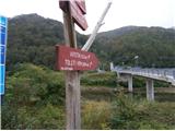 2
2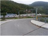 3
3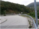 4
4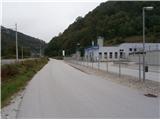 5
5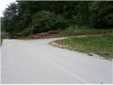 6
6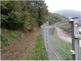 7
7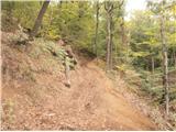 8
8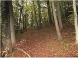 9
9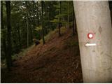 10
10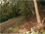 11
11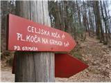 12
12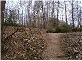 13
13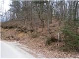 14
14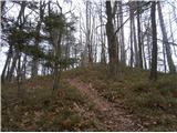 15
15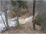 16
16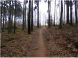 17
17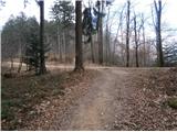 18
18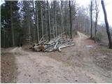 19
19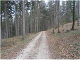 20
20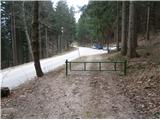 21
21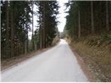 22
22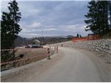 23
23
Discussion about the trip Tremerje - Hotel Celjska koča
To post a comment you must log in:
If you do not yet have a username, you must first
register.