Korte / Trögern - Kärntner Storschitz / Pristovški Storžič
Starting point: Korte / Trögern (991 m)
| Latitude/Longitude: | 46,43720°N 14,48880°E |
| |
Walking time: 2 h
Difficulty: easy marked way
Elevation gain: 768 m
Elevation difference along the route: 768 m
Map: Karavanke - osrednji del 1:50.000
Recommended equipment (summer):
Recommended equipment (winter): ice axe, crampons
Views: 7.406
 | 1 person like this post |
Access to starting point:
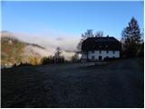
From the Ljubljana - Jesenice highway we head to the exit Kranj - east and follow the road ahead in the direction of Jezersko. From Zgornje Jezersko we continue driving towards Austria, and we drive along it to the settlement Železna Kapla / Bad Eisenkappel, where at a somewhat larger intersection we turn left towards the settlements Obirsko / Ebriach, Šajda / Zell - Schaida and Korte / Trögern. Further we drive a few kilometers through the valley of the Obirski potok stream, then we turn left towards the settlement Korte / Trögern. Further, we drive through the Skoz peči gorge to the already mentioned settlement, where we park on a large parking lot by the former inn Pristovnik.
We can also reach the starting point from the Savinjska valley, namely over the Pavličev vrh border crossing.
Route description:
From the parking lot we continue past the information board and a gate to the nearby hiking signpost for Pristovški Storžič / Kärntner Storschitz. For a short time we continue on the road, then the blazes direct us right onto a marked shortcut. We quickly return to the road, reaching it right at the junction, where we continue on the poorer right road. We follow it for a few minutes, then the blazes direct us left onto a somewhat steeper and partly overgrown cart track, which higher up changes into a footpath; this then joins a wider macadam road a little higher. We walk along the wide road to the first junction, where we continue left following the signs "Kärntner Storschitz". At the right bend we also leave this road and continue the ascent on the path, which higher up crosses the aforementioned road a few more times or at places only approaches it completely. Higher the path returns to the road, which we follow to the marked junction, where the path from Jezerski vrh (easier path) and the path from Bela / Bad Vellach join.
From here we continue towards Pristovški Storžič on the path that enters the forest and gradually begins to ascend more steeply. On the way through the forest the path ascends quite steeply for a few meters (in wet, risk of slipping), then it levels out and with the aid of steel cables crosses a few more meters of somewhat steeper slope (in dry, easy). Above the steep section the path levels out somewhat and leads us from the forest into the belt of dwarf pines, through which we ascend to the nearby summit in a few minutes.

Photos:
 1
1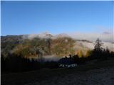 2
2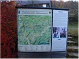 3
3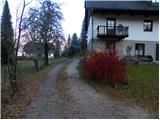 4
4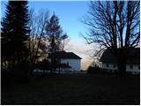 5
5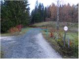 6
6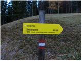 7
7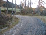 8
8 9
9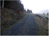 10
10 11
11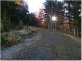 12
12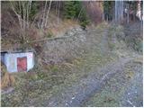 13
13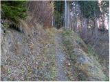 14
14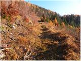 15
15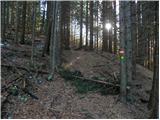 16
16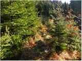 17
17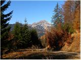 18
18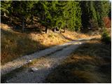 19
19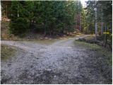 20
20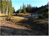 21
21 22
22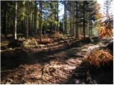 23
23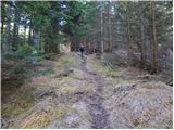 24
24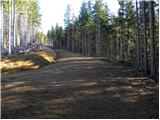 25
25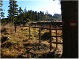 26
26 27
27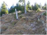 28
28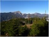 29
29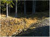 30
30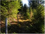 31
31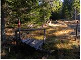 32
32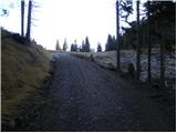 33
33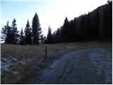 34
34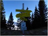 35
35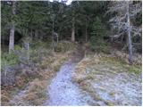 36
36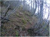 37
37 38
38 39
39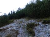 40
40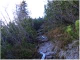 41
41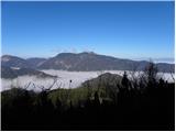 42
42 43
43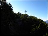 44
44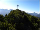 45
45 46
46 47
47 48
48
Discussion about the trip Korte / Trögern - Kärntner Storschitz / Pristovški Storžič
To post a comment you must log in:
If you do not yet have a username, you must first
register.