Tržič - Bela peč (via Potarje and Spodnja Konjščica)
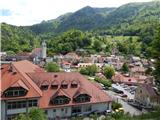
Starting point: Tržič (516 m)
| Latitude/Longitude: | 46,36474°N 14,31433°E |
| |
Route name: via Potarje and Spodnja Konjščica
Walking time: 3 h 55 min
Difficulty: easy marked way
Elevation gain: 1077 m
Elevation difference along the route: 1080 m
Map: Karavanke - osrednji del 1:50.000
Recommended equipment (summer):
Recommended equipment (winter): ice axe, crampons
Views: 930
 | 1 person like this post |
Access to starting point:
We drive to Tržič, where we park on one of the parking lots in town. Best on a parking lot at the cemetery by the parish church.
Route description:
From Tržič we have to walk on a sidewalk by the main road to the settlement Slap, where at the house »Pr Molinet« a road towards Lom pod Storžičem branches off to the right (straight - Dolžanova soteska). We turn towards Lom and just above the farm »pr Travnarju«, which we see on the left, we notice a blaze, which points us on a cart track which leads "via Globel" and brings us to the new part of Lom pod Storžičem and then to the part of Lom pod Storžičem, which the locals call Kačja vas. We go past all houses and descend to the bridge over the stream Lomščica, we continue some tens of meters by the main road, and then the marked path at the turn below primary school Lom pod Storžičem branches off left, on a narrow asphalt road for approx 200 meters and then on a macadam road on which we come to a hamlet Potarje. We continue uphill, past dense houses, we cross the pasture, we cross the road for farm Tič (there is a signpost for marked path to the farm Tič) and by the buildings of farm Odričar, Potarje 12, which we see on the left, we continue slightly right and then on a cart track, we cross the forest road, we continue on a footpath uphill, through an overgrown forest clearing (on the right we can see forest road), but we have to stick to the footpath which ascends uphill again, we cross the fence of the pasture (there is a wooden passage) and we come on a meadow below farms Strmec and Tič (we can't see the buildings, because we are below the hill, where the marked path joins the marked path "Grahovše - planina Spodnja Konjščica (via Uskovca)".
We continue left and through a meadow we ascend to the yard of farm Tič, through the yard uphill (left - vegetable garden, right - farm outbuilding) to the junction with bypass macadam road and for a short time we continue on the road, and then blazes point us slightly to the left on a marked footpath which only a little higher returns to the road. We continue the path for some time on the road, where the path from the farm Pavšel also joins from the right. With nice views on the ridge of Kriška gora, only a little higher from the mentioned junction we arrive at a wooden log cabin, where the road ends (area is called Na Vršeh).
Here we continue slightly left on at first a little more overgrown path, on which we quickly arrive at a wooden cottage Potarje 44. We continue through the forest and because of numerous smaller junctions we carefully follow the blazes. A moderately steep path higher ascends more steeply for a short time and only a little higher brings us to a forest road. We follow the road to the left, but we walk on it only a few meters, because then blazes and signpost direct us to the right on an ascending footpath. The path ahead first ascends on a slope straight upwards, then turns to the left and higher returns to the road right next to a viewpoint "Na Boštu" (viewpoint is less than 5 minutes distant from the marked path). When we step on the road we continue right and after approximately 10 minutes of additional walking we step out of the forest onto the mountain pasture Spodnja Konjščica.
We bypass the shepherd hut on the mentioned mountain pasture on the left side and continue on a marked path, which gently ascends to the upper edge of the mountain pasture. Here the path goes into the forest and ascends steeper for a short time, then turns a little towards the left and gradually flattens. Only a little further we come out of the forest, where we step onto the pastures of the extensive mountain pasture Zgornja Konjščica.
In a few short ascents and descents we walk to the other part of the mountain pasture, and then the path enters the forest, where it quickly brings us to a marked junction. Here we continue right (left Koča na Javorniku) in the direction of the vantage point Bela peč. The path a little further crosses a wire fence and then quickly ascends to the panoramic and precipitous peak.
Tržič - Planina Spodnja Konjščica 3:10, Planina Spodnja Konjščica - Planina Zgornja Konjščica 0:30, Planina Zgornja Konjščica - Bela peč 0:15.

Photos:
 1
1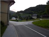 2
2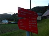 3
3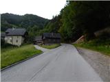 4
4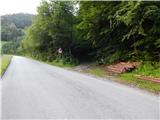 5
5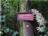 6
6 7
7 8
8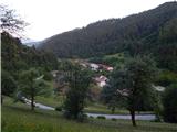 9
9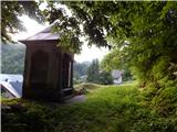 10
10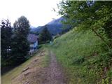 11
11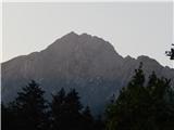 12
12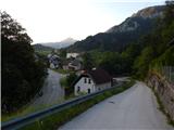 13
13 14
14 15
15 16
16 17
17 18
18 19
19 20
20 21
21 22
22 23
23 24
24 25
25 26
26 27
27 28
28 29
29 30
30 31
31 32
32 33
33 34
34 35
35 36
36 37
37 38
38 39
39 40
40 41
41 42
42 43
43 44
44 45
45 46
46 47
47 48
48 49
49 50
50 51
51 52
52 53
53 54
54 55
55 56
56 57
57 58
58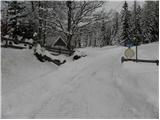 59
59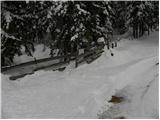 60
60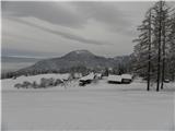 61
61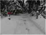 62
62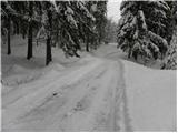 63
63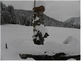 64
64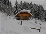 65
65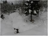 66
66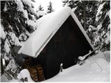 67
67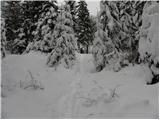 68
68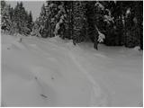 69
69 70
70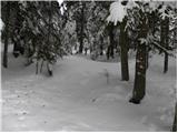 71
71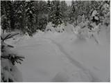 72
72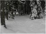 73
73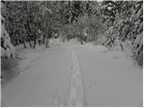 74
74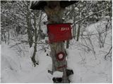 75
75 76
76 77
77 78
78 79
79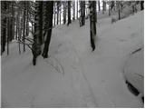 80
80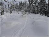 81
81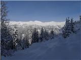 82
82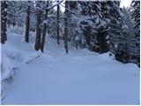 83
83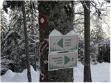 84
84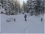 85
85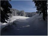 86
86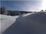 87
87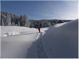 88
88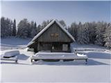 89
89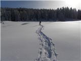 90
90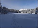 91
91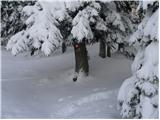 92
92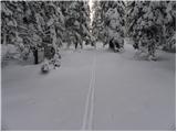 93
93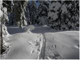 94
94 95
95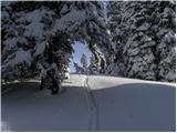 96
96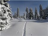 97
97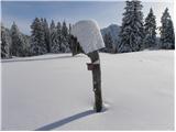 98
98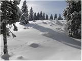 99
99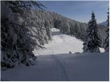 100
100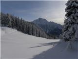 101
101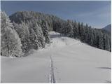 102
102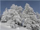 103
103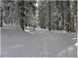 104
104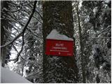 105
105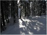 106
106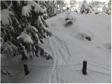 107
107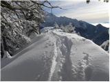 108
108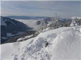 109
109 110
110
Discussion about the trip Tržič - Bela peč (via Potarje and Spodnja Konjščica)
To post a comment you must log in:
If you do not yet have a username, you must first
register.