Starting point: Tržič (515 m)
| Latitude/Longitude: | 46,36830°N 14,30780°E |
| |
Walking time: 3 h 15 min
Difficulty: easy marked way
Elevation gain: 1120 m
Elevation difference along the route: 1150 m
Map: Karavanke - osrednji del 1:50.000
Recommended equipment (summer):
Recommended equipment (winter): ice axe, crampons
Views: 5.825
 | 1 person like this post |
Access to starting point:
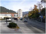
From the Ljubljana - Jesenice highway we take the Ljubelj (Tržič) exit, then before the gas station in Bistrica pri Tržiču we turn right downhill, where we quickly arrive in Tržič. At the intersection after the Mercator store we turn left towards the Tržič Museum, but we continue along Koroška cesta, which we follow through the town center to house number 48. Here at the smaller intersection we turn left onto Pot na pilarno, the road from here starts descending towards the Mošenik stream. When we come to the stream we cross the bridge and then park in an appropriate place (because most of the parking spaces are reserved for residents, we will have quite some problems finding an appropriate space).
Route description:
From the place where we crossed the bridge we continue along Tržiška Bistrica for approximately 100 m, then, when we notice on the mentioned river a smaller dam, we continue sharply left onto the ascending road, which we follow to the mountain signposts for Dobrča. We continue in the direction of Dobrča and continue the path on the road, which higher over a bridge crosses the main road that leads to Ljubelj. The road continues parallel to the main road for a short time, then turns left and moderately ascends to a smaller hamlet. Just before the last house the blazes direct us slightly left onto a footpath, which soon turns right and ascends transversely along the edge of the forest. The path then enters a dense forest, where it crosses a short steeper slope. After a short ascent we step onto a larger clearing, at the edge of which stands a lonely cottage. Here we continue right and continue the ascent on a forest path, which higher crosses a forest road. The path ahead starts ascending steeply, then temporarily flattens and brings us onto a steep cart track, along which we continue the ascent. Higher from the path a little view opens onto Košuta, Storžič and Kriška gora, we continue on the marked cart track, which soon brings us to the hunting cottage, where we also step onto the road.
The marked path bypasses the hunting cottage by a few dozen meters to the left, we walk on the road only a short time, since then the blazes direct us slightly left onto a path, which starts moderately ascending through the forest. The path ahead steeply ascends for a short time, then slightly flattens and continues in a transverse ascent over occasionally partly panoramic slopes. Higher the path first flattens, then descends to the nearby forest road, which we follow to the right. There follows a few minutes' walk on the mentioned road, then we arrive out of the forest, where we step onto the expansive Bistriška planina.
On the left side of the planina we step onto a wider road, which we follow in the direction of Dobrča and Lešanska planina. The road ahead moderately ascends through the forest, then brings us to Breško planina, where a hunting cottage stands.
We continue on the road, which returns into the forest, it then gradually starts ascending more steeply. Higher we reach a marked junction, where a marked footpath from Brezje pri Tržiču joins from the left, we continue sharply right on the gradually steeper cart track. There follows approximately 20 minutes of walking on the mentioned cart track, then the path brings us out of the forest onto the lower part of Lešanska planina. We continue upwards across the planina, where we quickly arrive at an unmarked junction.
We continue right (left shepherd's hut on Lešanska planina 50 meters and possibility of continuing the path towards Koča na Dobrči and Dobrča) and continue a gentle ascent along the edge of the planina. After a few minutes of further walking, or more precisely a few meters past the hunting observatory, we continue left, where we steeply ascend on a clearly visible path to the upper edge of the planina, where we again step onto the cart track that we left at the hunting observatory. We follow the cart track left and ascend transversely along it to the marked path that leads from Koča na Dobrči towards the summit of Dobrča. Here we continue sharply right and after 5 minutes of further walking we arrive at the summit.
From Dobrča we continue in the direction of Šentanski vrh on the path which first descends into a smaller valley between the two summits, then moderately ascends and after a few dozen steps of further walking brings us to Šentanski vrh.

Photos:
 1
1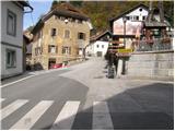 2
2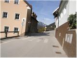 3
3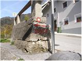 4
4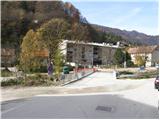 5
5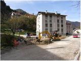 6
6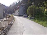 7
7 8
8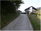 9
9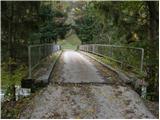 10
10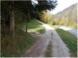 11
11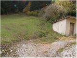 12
12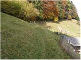 13
13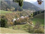 14
14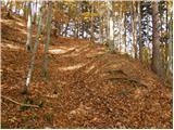 15
15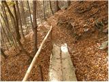 16
16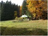 17
17 18
18 19
19 20
20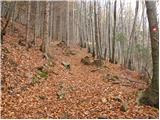 21
21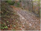 22
22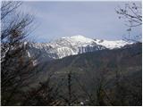 23
23 24
24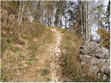 25
25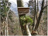 26
26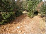 27
27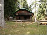 28
28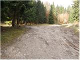 29
29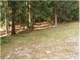 30
30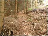 31
31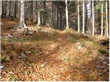 32
32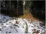 33
33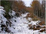 34
34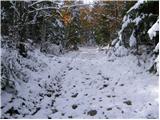 35
35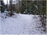 36
36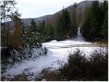 37
37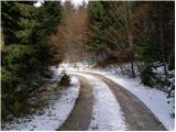 38
38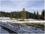 39
39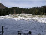 40
40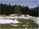 41
41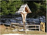 42
42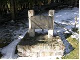 43
43 44
44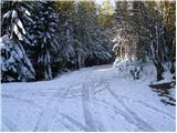 45
45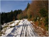 46
46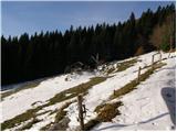 47
47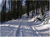 48
48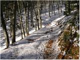 49
49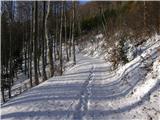 50
50 51
51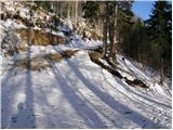 52
52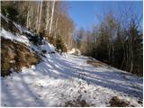 53
53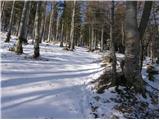 54
54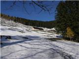 55
55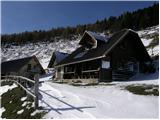 56
56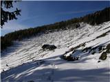 57
57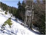 58
58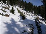 59
59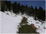 60
60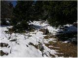 61
61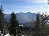 62
62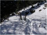 63
63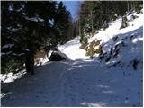 64
64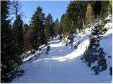 65
65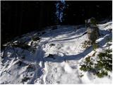 66
66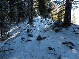 67
67 68
68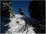 69
69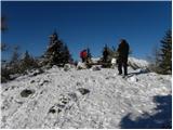 70
70 71
71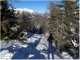 72
72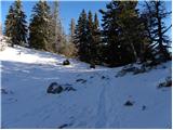 73
73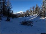 74
74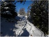 75
75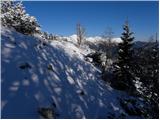 76
76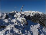 77
77 78
78
Discussion about the trip Tržič - Šentanski vrh
To post a comment you must log in:
If you do not yet have a username, you must first
register.