Turracher Höhe - Bretthöhe
Starting point: Turracher Höhe (1795 m)
| Latitude/Longitude: | 46,91470°N 13,87500°E |
| |
Walking time: 5 h
Difficulty: easy marked way
Elevation gain: 525 m
Elevation difference along the route: 725 m
Map:
Recommended equipment (summer):
Recommended equipment (winter): ice axe, crampons
Views: 3.433
 | 2 people like this post |
Access to starting point:
From Kärnten: first we drive to the settlement Feldkirchen, from where we follow a well-marked road to the mountain pass Turracher Höhe.
From Steiermark and Salzburg we drive to the valley of the river Mur and follow the road to the settlement Predlitz (the settlement is located west of the town Murau). In Predlitz we leave the main road and continue driving towards the mountain pass Turracher Höhe.
Route description:
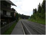
From the parking lot, we first cross the main road, then head to the narrower asphalt road that branches off at the pension »Elizabeth«. The road first descends slightly past the parking lots, then turns slightly to the right. We follow the signs for Schoberriegel. The asphalt then ends and we continue to follow the macadam road, which brings us to a crossroads with signposts. We continue in the direction of Schoberriegel, Eisenhut. The increasingly poor road brings us to the hut Sonnalmhütte, located by the ski slope. From the hut, we continue along the road following the signs for Eisenhut. After a few turns, when we reach the upper station of the cableway, we leave the road and turn right onto the footpath. The path initially runs through sparse forest and occasionally offers a nice view towards Lake Turrachsee, located on the mountain pass Turracher Höhe. When we reach the ridge, the path turns slightly to the left and gradually the last trees disappear. The path then continues along the ridge and brings us to the grassy summit of Schoberriegel.
From the summit, we descend along the wide ridge to the saddle, where there are also signposts. We follow the signs for Gruft. After approximately ten minutes of walking from the saddle, we arrive via the wide grassy ridge to the summit of Gruft, where there is also a path junction.
We continue in the direction of Kaserhöhe and Bretthöhe. First, we descend slightly again to the saddle Weitentalsattel. From the saddle, we continue along the fence in the direction of Kaserhöhe and Bretthöhe. The path ascends the grassy slopes and brings us again to a junction. We continue in the direction of Kaserhöhe. After a short ascent, we reach the grassy summit of Kaserhöhe, on which there is also a cross.
From the summit, we descend slightly again along the ridge, then there follows the crossing of the pasture fence, where we will also notice the warning sign not to approach the bulls. From here, only a short ascent to the indistinct summit of Hoazhöhe follows.
From the summit, we then descend to the saddle where livestock usually grazes. At the saddle, we follow the signs for Eisenhut. From here, an ascent follows on the mostly grassy slope towards the panoramic summit.

Photos:
 1
1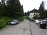 2
2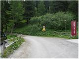 3
3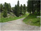 4
4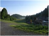 5
5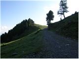 6
6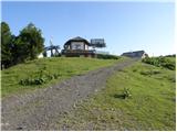 7
7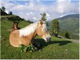 8
8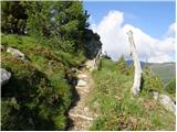 9
9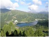 10
10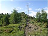 11
11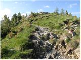 12
12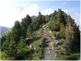 13
13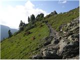 14
14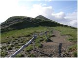 15
15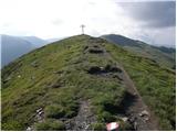 16
16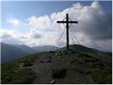 17
17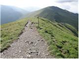 18
18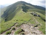 19
19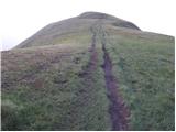 20
20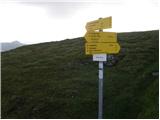 21
21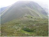 22
22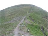 23
23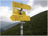 24
24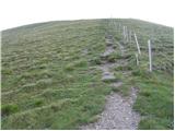 25
25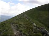 26
26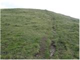 27
27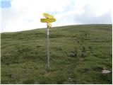 28
28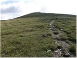 29
29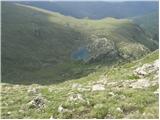 30
30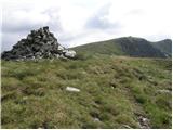 31
31 32
32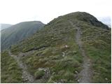 33
33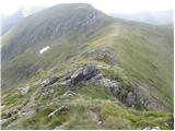 34
34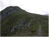 35
35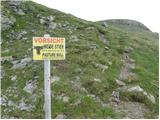 36
36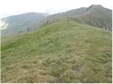 37
37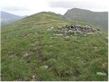 38
38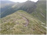 39
39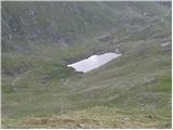 40
40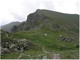 41
41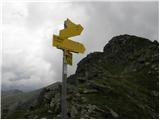 42
42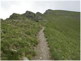 43
43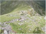 44
44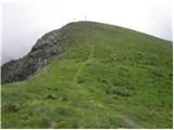 45
45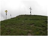 46
46
Discussion about the trip Turracher Höhe - Bretthöhe
To post a comment you must log in:
If you do not yet have a username, you must first
register.