Tuškov Grič - Blegoš (via Črni vrh)
Starting point: Tuškov Grič (1010 m)
| Latitude/Longitude: | 46,17110°N 14,04210°E |
| |
Route name: via Črni vrh
Walking time: 2 h 45 min
Difficulty: easy marked way
Elevation gain: 552 m
Elevation difference along the route: 700 m
Map: Škofjeloško in Cerkljansko hribovje 1:50.000
Recommended equipment (summer):
Recommended equipment (winter):
Views: 23.447
 | 1 person like this post |
Access to starting point:
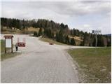
From Škofja Loka we drive towards Gorenja vas and further to Hotavlje. Here signs for the ski center direct us to the right. In the following crossroads we follow the road in the direction of the mentioned ski area and the road then brings us to the large parking lot Počivalo. We continue across the parking lot along the road, which starts to descend and quickly brings us to the next crossroads, where we continue right uphill. We follow the road further to the next large parking lot named Tuškov Grič.
Access from Cerkno: We drive through Novaki towards the ski center Cerkno to the parking lot Tuškov Grič.
From Železniki via Davča we drive to the ski center Cerkno. We park at the parking lot Tuškov Grič.
Route description:
Near the parking lot, we notice mountain signposts that direct us onto the path towards Blegoš and Črni vrh. The path initially ascends transversely across a meadow, then enters the forest, where it ascends moderately. After approximately 15 minutes, we reach a forest road which quickly brings us out of the forest to the Cerkno ski slope (during operation of the ski slope, walking on the ski slope is forbidden). We continue the ascent along a rougher road that leads us uphill along the ski slope and brings us a little higher to a path junction. We continue along the left road, which leads directly to Črni vrh (direction Blegoš), or along the right road, which brings us to the mountain hut on Črni vrh in 5 minutes and from there we ascend to the nearby Črni vrh. Both paths merge a little higher and bring us along a gentle road past numerous cableways in a few minutes of further walking to Črni vrh.
From Črni vrh we continue along the marked path, which on the other side of the lake descends along the edge of the forest. Here the markers direct us right onto the descending footpath, along which we walk to the nearby road. When we reach the macadam road, we cross it and continue along the wide cart track, which after a short descent begins to ascend gently. We quickly leave the mentioned cart track and continue slightly right along the marked footpath. The path ahead quickly enters a somewhat sparser forest through which, beside the "blueberry plantation", we ascend to the indistinct summit Smoletovše (1300 m).
From the mentioned summit the path begins to descend moderately, soon also steeply, towards the saddle Slugov grič. At the saddle we step onto the forest road, and from the right paths from the villages Laze and Robidnica join us. We continue in the direction of Blegoš and continue along the forest road, which we follow for only a few 10 m, as the markers then direct us right onto the marked path, which further ascends along the cart track. The cart track, which has quite a few junctions, which are mostly relatively well marked, flattens higher up and after a few minutes of further walking brings us to the macadam road. We continue along the mentioned road, which quickly brings us to the marked junction, where paths from Volake, Leskovice and Laz join us from the right.
We continue in the direction of Koča na Blegošu and continue the ascent along the forest road. After a good 10 minutes from the marked junction we step out of the forest, where we see Koča na Blegošu in front of us, to which only a few steps of easy walking remain.
From Koča na Blegošu we continue along the initially gentle path, which ascends across the panoramic grassy slope. The path soon begins to ascend more steeply and brings us to the edge of the forest, where it then ascends along the narrow unvegetated strip. The steepness soon eases and the path brings us to the panoramic ridge of Blegoš, along which we ascend to the summit in a few minutes.

Photos:
 1
1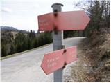 2
2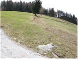 3
3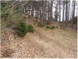 4
4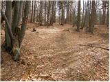 5
5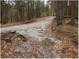 6
6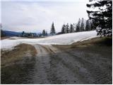 7
7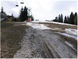 8
8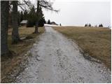 9
9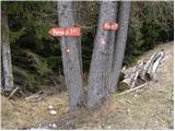 10
10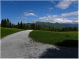 11
11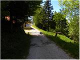 12
12 13
13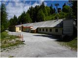 14
14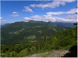 15
15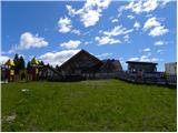 16
16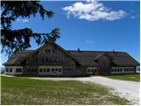 17
17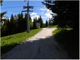 18
18 19
19 20
20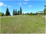 21
21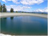 22
22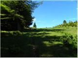 23
23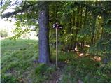 24
24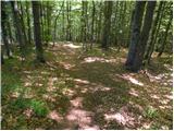 25
25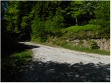 26
26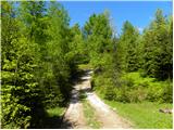 27
27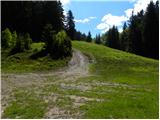 28
28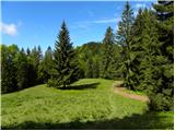 29
29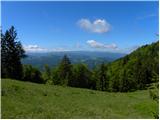 30
30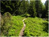 31
31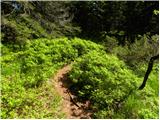 32
32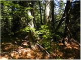 33
33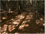 34
34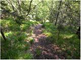 35
35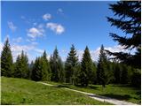 36
36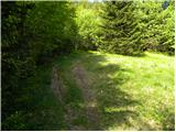 37
37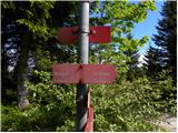 38
38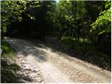 39
39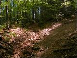 40
40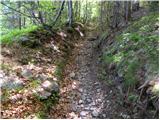 41
41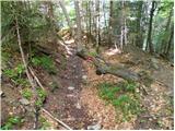 42
42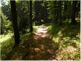 43
43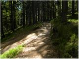 44
44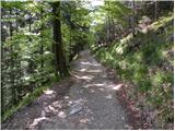 45
45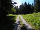 46
46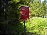 47
47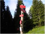 48
48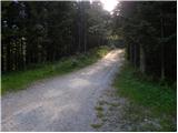 49
49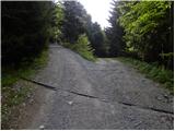 50
50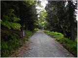 51
51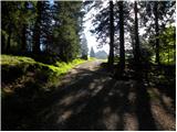 52
52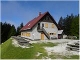 53
53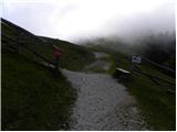 54
54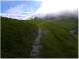 55
55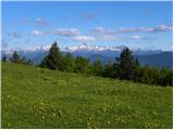 56
56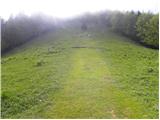 57
57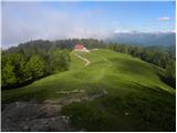 58
58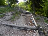 59
59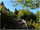 60
60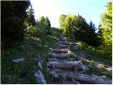 61
61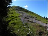 62
62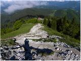 63
63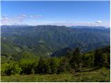 64
64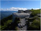 65
65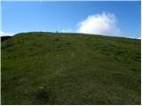 66
66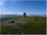 67
67 68
68
Discussion about the trip Tuškov Grič - Blegoš (via Črni vrh)
To post a comment you must log in:
If you do not yet have a username, you must first
register.