Tuškov Grič - Porezen (by road)
Starting point: Tuškov Grič (1010 m)
| Latitude/Longitude: | 46,17110°N 14,04210°E |
| |
Route name: by road
Walking time: 3 h 5 min
Difficulty: easy marked way
Elevation gain: 620 m
Elevation difference along the route: 750 m
Map: Škofjeloško in Cerkljansko hribovje 1:50.000
Recommended equipment (summer):
Recommended equipment (winter): ice axe, crampons
Views: 16.084
 | 2 people like this post |
Access to starting point:
A) First, we drive to Škofja Loka, then continue driving in the direction of Železniki and Podbrdo. After Železniki, or just before the beginning of Zali Log, signs for Davča and the ski center Cerkno direct us left onto the road that starts ascending along the Davča River. We follow this road, which higher up has quite a few crossroads, all the time in the direction of the ski center Cerkno. When we arrive at the mentioned ski center, we continue driving a few 100 m further, to the large macadam parking lot Tuškov Grič.
B) From Bohinjska Bistrica or Podbrdo, we first drive into the valley of the Selška Sora River, then at the crossroads after the end of the settlement Zali Log turn right in the direction of Davča and continue driving on the road that starts ascending along the Davča River. We follow this road, which higher up has quite a few crossroads, all the time in the direction of the ski center Cerkno. When we arrive at the mentioned ski center, we continue driving a few 100 m further, to the large macadam parking lot Tuškov Grič.
C) From Poljanska dolina, we first drive to Hotavlje, from there continue driving in the direction of the Ski Center Cerkno. Further, we drive through the villages of Kopačnica, Leskovica and Robidnica. When we have driven through all the mentioned villages, we arrive at the large Počivalo parking lot (parking lot at the ski center Cerkno), behind which the road starts to descend. After a short descent we arrive at the next crossroads, where we continue right (left down to Cerkno). We continue driving on the road that ascends transversely, and quickly arrive at the Tuškov Grič parking lot.
D) From the Idrija - Tolmin road, we head towards the settlement Cerkno, then continue driving in the direction of the ski center Cerkno. Higher up we arrive at a crossroads, where the road to the nearby Počivalo parking lot branches off to the right, and we continue left in the direction of Davča. A short transverse ascent follows, and the road takes us to the Tuškov Grič parking lot.
Route description:
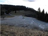
From the parking lot, we head onto the road in the direction of the Davški slapovi waterfalls, Porezen and sport fishing. The road first ascends moderately, then flattens and leads us for some time across panoramic meadows. A short descent follows, then a few minutes of traversing to the crossroads at Razpotje (1068 m).
From here we continue in the direction of Porezen (slightly left Kopa) and continue the ascent on the macadam road, which ascends transversely slightly to the right. After a few minutes we reach a smaller hamlet, behind which the road enters the forest. An ascent follows on the forest road, which soon splits into two parts. We choose the left road, alongside which there are also signs for Porezen (right Davški slapovi). The road then gradually flattens, from it another path to the Davški slapovi branches off to the right. We continue straight ahead, following the road, which initially still runs through the forest, to the grassy saddle Vrše. A few minutes before the mentioned meadow or saddle, the path from Kopa joins from the left, and we continue on the road that starts ascending the slopes of the nearby Hum (1423 m). After a 20-minute ascent on increasingly panoramic slopes, we reach the ridge of Hum, where the path turns left and starts descending towards the saddle Velbnik (1331 m). With a view of Porezen and the nearby peak Medrce, we descend in a few minutes to the mentioned saddle, where the path from the Franja hospital or from Poljane joins from the left.
Here we continue right on the road (straight Porezen via Medrce), which bypasses the mentioned peak on the right side. On the other side of the hill, a steep path from Poče joins from the left, a few 10 m higher the path from the hunting hut at Davča joins from the right.
We continue on the road, which ascends transversely through a strip of forest, then it turns slightly to the right and takes us across increasingly panoramic slopes to the northeastern ridge of Porezen, where the path from Petrovo Brdo also joins.
Here we continue left and after 2 minutes of further walking arrive at Dom na Poreznu.
We bypass the mountain hut on the right side, then in 5 minutes of further walking ascend to the panoramic summit.

Photos:
 1
1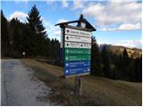 2
2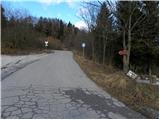 3
3 4
4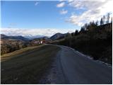 5
5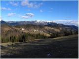 6
6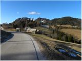 7
7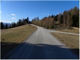 8
8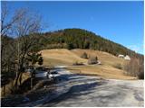 9
9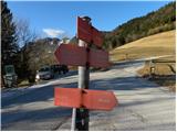 10
10 11
11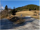 12
12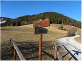 13
13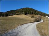 14
14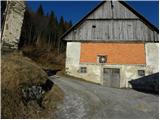 15
15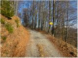 16
16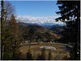 17
17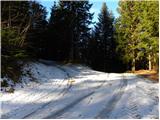 18
18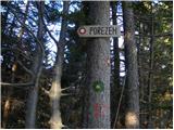 19
19 20
20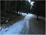 21
21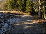 22
22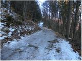 23
23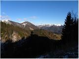 24
24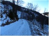 25
25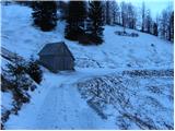 26
26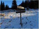 27
27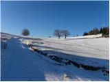 28
28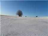 29
29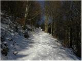 30
30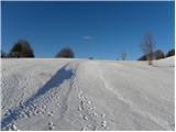 31
31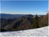 32
32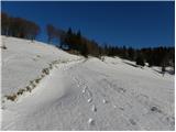 33
33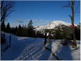 34
34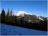 35
35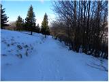 36
36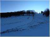 37
37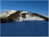 38
38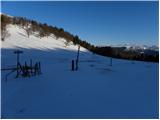 39
39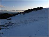 40
40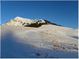 41
41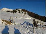 42
42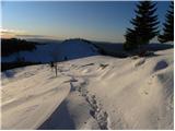 43
43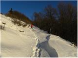 44
44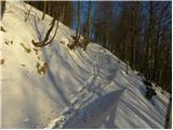 45
45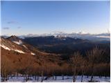 46
46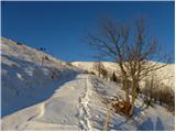 47
47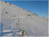 48
48 49
49 50
50 51
51 52
52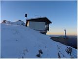 53
53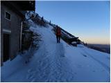 54
54 55
55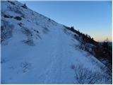 56
56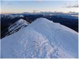 57
57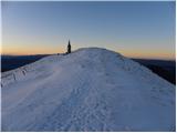 58
58 59
59 60
60 61
61
Discussion about the trip Tuškov Grič - Porezen (by road)
|
| GregorC18. 01. 2012 |
This trail is exceptionally beautiful and quite demanding for visiting Porezen by bike. I ride it every year and for me it's one of the more challenging tours around here. Especially since I start already in the valley. It's also very popular among cyclists. Recommended!
|
|
|
To post a comment you must log in:
If you do not yet have a username, you must first
register.