Usek - Huhnerkogel/Košenjak
Starting point: Usek (1200 m)
Walking time: 2 h
Difficulty: easy marked way
Elevation gain: 322 m
Elevation difference along the route: 400 m
Map: Koroška 1:50.000
Recommended equipment (summer):
Recommended equipment (winter): ice axe, crampons
Views: 10.382
 | 1 person like this post |
Access to starting point:
We drive to the center of Dravograd (to here from Maribor through the Dravska Valley or from Velenje through Slovenj Gradec), where signs for Ojstrica direct us onto the road which after 6.5 km brings us to the church of St. John the Baptist on Ojstrica. Only a few 10 meters behind the church we come to an intersection, where we continue sharply right in the direction of St. Urban. At the next intersections we follow the road towards the mentioned church, until a barrier stops our drive near which we park on a parking lot by the road.
Route description:
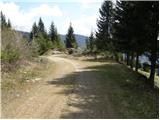
From the barrier we continue the ascent on the road which moderately ascends and after a few minutes brings us to an intersection, where we continue right (unmarked). The road ahead in a barely noticeable ascent crosses the slopes towards the east. After approximately half an hour of walking, the road makes a sharp left turn and brings us out of the forest onto a larger clearing, in the middle of which stands the church of St. Urban. From the church we continue ahead towards the west, where at the cross we notice the markers. The path, which further gently ascends along the border line between Slovenia and Austria, quickly brings us to the 1367 m high summit. The path from the top descends along a slightly rocky slope, then brings us to a smaller wooden bivouac on the Austrian side of the path (locked). Further the path, which still runs along the border ridge, gently ascends along a more or less vegetated slope. Only rarely does a bit of a view open up on the Austrian hill country. To the lonely forest path, after some time, the path from the Lonhtar farm joins. A little further we come to a trail junction, where from the left the usual path to Košenjak joins. Here we continue straight ahead (right Koralpe) and follow the path to the summit which we reach in a few dozen steps of further walking.

Photos:
 1
1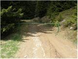 2
2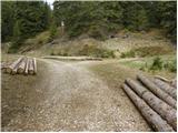 3
3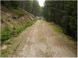 4
4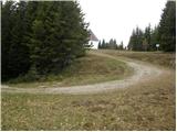 5
5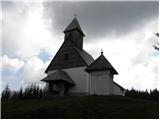 6
6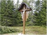 7
7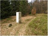 8
8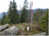 9
9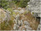 10
10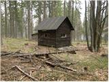 11
11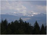 12
12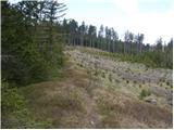 13
13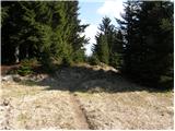 14
14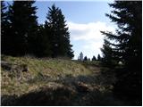 15
15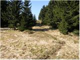 16
16 17
17
Discussion about the trip Usek - Huhnerkogel/Košenjak
|
| prlekj19. 12. 2009 |
Wow! It was nice! smile Cold, snowy,... When I arrived at the hut though disappointment again: "HUT IN WINTER OPEN ONLY UPON PRIOR NOTICE"! Just for those planning to go up in winter! On top -20 plus north wind 30m/s rolling eyes Just for those planning to go up in winter! On top -20 plus north wind 30m/s rolling eyes
|
|
|
To post a comment you must log in:
If you do not yet have a username, you must first
register.