V Koncu - Kogel (via Gamsov skret)
Starting point: V Koncu (900 m)
| Latitude/Longitude: | 46,34200°N 14,56820°E |
| |
Route name: via Gamsov skret
Walking time: 3 h 15 min
Difficulty: very difficult unmarked way, easy pathless terrain
Elevation gain: 1200 m
Elevation difference along the route: 1220 m
Map: Kamniške in Savinjske Alpe 1:50.000
Recommended equipment (summer): helmet
Recommended equipment (winter): helmet, ice axe, crampons
Views: 26.910
 | 6 people like this post |
Access to starting point:
We drive to Kamnik and continue along the road towards the Kamniška Bistrica valley. From Dom v Kamniški Bistrici we continue driving along the forest road, which higher up leads us to a junction where we continue straight (right Jermanca, starting point for Kamniško sedlo). The road then takes us past Žagana peč to the parking lot at the lower station of the freight cable car to Kokrsko sedlo.
In winter, driving from Koča v Kamniški Bistrici to the parking lot V Koncu is prohibited (traffic sign), which lengthens our route by almost an hour.
Route description:
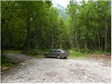
From the parking lot at the lower station of the cable car we continue along the road to the "upper parking lot". Here, next to the parking lot on the left side of the road, we will notice two cart tracks. The left cart track, marked with direction signs on a tree, leads towards Kokrsko sedlo. We head onto the right cart track (this cart track is also on the left side of the road).
At first we walk for some time along the mentioned cart track from which several side cart tracks also branch off, then the cart track turns into a path. In the continuation we ascend for quite some time along a narrow path through the forest. The path here constantly runs on the left side of the valley and thus avoids the steep rocky jump in the lower part of the valley.
When we emerge from the forest, the path crosses somewhat steeper slopes to the right and leads us to grassy slopes. This is followed by an ascent over grassy terrain, which leads us below the walls of Kogel.
Here the better-trodden path turns left towards the wall, while we continue slightly right along a narrow path. The path in this section is quite poorly visible and runs on the left side of the torrent up the valley. For orientation we can use the clearly visible waterfall of the mentioned torrent (usually without water). The path already turns left somewhat before the waterfall and enters the wall.
Here the path becomes very demanding and first we have to climb a few meters up an almost vertical slope. This is followed by an ascent along a narrow secured ledge that crosses the slope to the right and leads us to steep grassy slopes. Although the ledge is secured, the ascent is quite demanding. It should also be noted that the protections are usually in somewhat poorer condition than we are used to on marked paths. In the continuation we ascend for some time over quite steep grassy slopes, then the slope gradually becomes less steep and the path leads us to an unexpected bench from which there is also a very beautiful view in all directions.
In the continuation we ascend over the grassy slope upwards all the way to the marked path Kokrsko sedlo - Kamniško sedlo.
Here we turn left and follow the marked path, which leads us to the northern side of Kogel. Here we leave the marked path and first descend somewhat off-path. Since the northern slope of Kogel is not overly steep, finding suitable passages towards the summit is also not overly demanding. However, we must pay attention to abysses, of which there are quite a few on the slope of Kogel.

Photos:
 1
1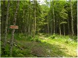 2
2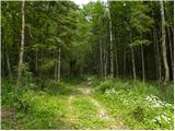 3
3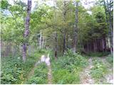 4
4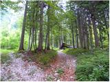 5
5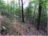 6
6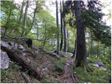 7
7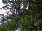 8
8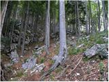 9
9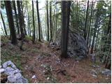 10
10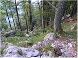 11
11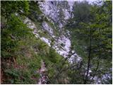 12
12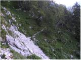 13
13 14
14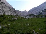 15
15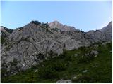 16
16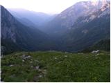 17
17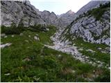 18
18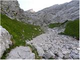 19
19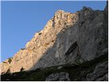 20
20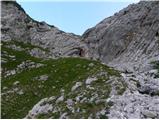 21
21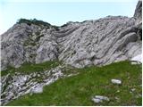 22
22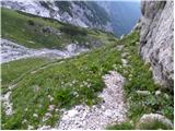 23
23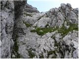 24
24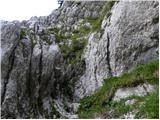 25
25 26
26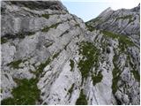 27
27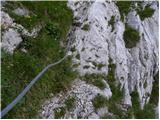 28
28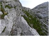 29
29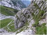 30
30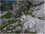 31
31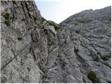 32
32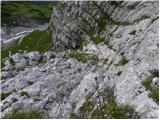 33
33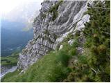 34
34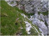 35
35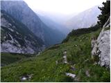 36
36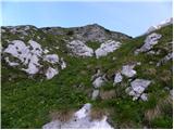 37
37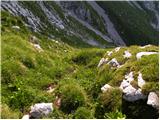 38
38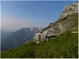 39
39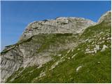 40
40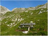 41
41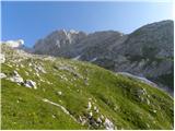 42
42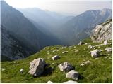 43
43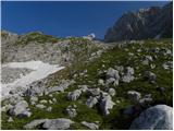 44
44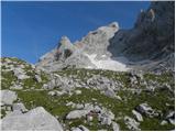 45
45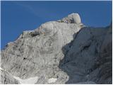 46
46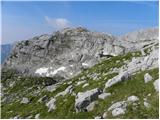 47
47 48
48 49
49 50
50 51
51 52
52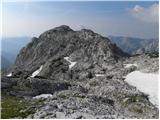 53
53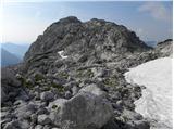 54
54 55
55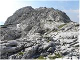 56
56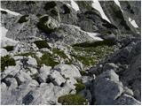 57
57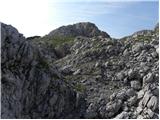 58
58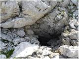 59
59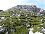 60
60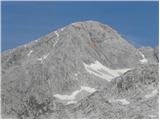 61
61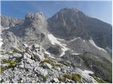 62
62
Discussion about the trip V Koncu - Kogel (via Gamsov skret)
|
| alpin5. 07. 2010 |
Just as ordered. I planned to do this tour last, when I went to the bivouac under Grintovec. Due to the unknown terrain, I preferred to go past Kokrsko sedlo and onwards. In the future, however, I plan to visit Kogel and will tackle it via this route. Best regards.
|
|
|
|
| capin12. 10. 2010 |
On Saturday finally time for the long-planned route via Gamsov skret. I started still in the dark from the last parking lot and turned left onto the forest road. After about 15 min. I realized it's just a shortcut to the marked path to Kokrško (Kekec would say: stupid you are dumb). Quickly back down, then up the next forest road, that one was the right one. After the ascent through the forest, real views open up. Of course, I was most interested in Kogel and its ledge, which looks nice from afar. When I reach its wall, I go about 50m left uphill (right through the gully is much easier and secured), to the ledge that goes up to the right. It looks fairly easy at first, then it stands impudently vertical. Holds are small, grass tufts not very secure. Exposure is quite big for a few awkward meters. On the ridge I switch to another ledge that takes me almost flat to steep grass. About 30m below I see the secured path. Follows a tough direct ascent up until I reach a wonderful mountain invention that stands in the right place, so I devote some time to it. From there again ascent to the marked path via Sleme, there I turn left towards Kokrško sedlo. I detour to Kogel which is not far from the path, though I always went past it. Then past the bivouac to the saddle and down to the valley. Normally, to the forumers' meeting which dragged on late into the night (well, it was already dark). After a good tour, good company. Best regards.
|
|
|
|
| jprim13. 10. 2010 |
Last year my husband and I missed this path, then we continued via Žmavčerje, a path we already knew.
As far as I understand you missed it again later:
About 30 m below me I see the protected path ...
Could I have some advice please, what to pay attention to so that a hiker doesn't have something similar happen.
LP and thanks.
|
|
|
|
| capin13. 10. 2010 |
The second time I didn't miss it, as I wanted to go along that Koglova polica. Under Koglova stena you have two variants: go left under the wall and up the ledge rightwards or continue further in the gully to the secured part of the path. I knew both, but I prefer some demanding pathless terrain or scrambling over cables. Time-wise I think there's no difference anyway. If you go the harder variant you see the cables below you from the ledge. Both paths join again on the grassy slope. Orientation isn't difficult as the path is well trodden to the bench (great invention) and beyond. A couple of pictures. L.p.
|
|
|
|
| jprim13. 10. 2010 |
Probably the biggest problem is if you miss it down below, then we crawled and climbed over fallen trees, which was probably from the avalanche, ...
Thanks!
|
|
|
|
| garmont17. 10. 2012 |
The sign in picture No. 2 (Kokrsko sedlo) is no longer there.
The entry to the part secured with a cable is a few meters further to the left, as the cable there is tensioned almost to the very entry into the wall.
|
|
|
|
| visokogorc27. 06. 2013 |
or can something spin in your head - sometimes it does for me, just asking::
|
|
|
|
| andi218. 08. 2014 |
nice description with key moments, clearly visible and well-maintained path, so no orientation issues, fitness and sure step more important. Views and solitude excellent, may it remain so...
|
|
|
|
| enageorgette1. 07. 2021 16:19:12 |
Yesterday I was on Kogel. From Koča v Kamniški Bistrici to the parking lot V Koncu, it's possible to drive by car.
At the upper parking lot, there's no longer a sign for Kokrsko sedlo, and the cart track is quite overgrown and after a few meters buried with branches (possible to bypass them).
To the bench, the path is well trodden (worse along the torrent). From the bench onwards, the path on the grassy slope is hard to follow, I barely found the marked path Kokrsko sedlo - Kamniško sedlo - only behind, after the highest green hillock. This path was also hard to follow because there were still some snow patches in that section. I crossed the patches "by feel" (of course I don't recommend it) and reached the northern side of Kogel, from there it's just a couple of minutes to the summit.
The view from the top is still absolutely worth the arduous path finding!
|
|
|
To post a comment you must log in:
If you do not yet have a username, you must first
register.