Vas na Skali - Planina v Plazeh
Starting point: Vas na Skali (980 m)
| Latitude/Longitude: | 46,34040°N 13,70970°E |
| |
Walking time: 2 h 20 min
Difficulty: easy unmarked way
Elevation gain: 568 m
Elevation difference along the route: 568 m
Map: TNP 1:50.000, Trenta 1:25.000
Recommended equipment (summer):
Recommended equipment (winter):
Views: 5.269
 | 1 person like this post |
Access to starting point:
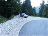
From Bovec, we drive towards Trenta or vice versa. At the village Soča, more precisely at the spot where the signs for the tourist farm Jelinčič point us to the right (from the direction of Trenta - left), we leave the main road and continue driving on a narrower but asphalted road. The road ahead ascends through the dispersed settlement Vrsnik and higher brings us to the starting point of the path for the ascent to the mountain pasture Za skalo. We continue further on the occasionally quite steep road, and higher it brings us to a sharp left turn, in the middle of which a road closed by a gate branches off to the right. We park on the parking lot, which is located right next to the mentioned crossroad.
Route description:
From the parking lot, we head onto the right road, which is closed to public traffic with a traffic sign and a gate. The road first ascends gently through the forest, then gets very close to the Suhi potok stream (here, if we step a little off the path onto the nearby footbridge, we can view a smaller waterfall, or rapids of the mentioned stream). The road then ascends somewhat more steeply through two successive hairpins, then turns more to the right, where we first cross the Suhi potok stream over the bridge, then a cart track branches off to the right downwards to the nearby holiday cottage. We follow the macadam road only another 10 m, then on the left side we notice a cairn that directs us onto an unmarked but easy-to-follow footpath. The path ahead ascends through the forest and higher crosses a slope covered with bushes (Plazič), from where a nice view opens up on Bavški Grintavec. The path immediately returns to the forest and a little further only crosses a forest road. The path ahead ascends gently along an initially indistinct small valley, then withdraws left into the forest, where it again starts to ascend more steeply. Here we will hear the roaring of the nearby waterfall on the right side, but we continue on the pleasant forest path, which higher again crosses a forest road (this time it is not the same road). We continue on a path that is more overgrown for a short time, which turns somewhat to the right and quickly brings us to the end of the nearby cart track. We walk along the mentioned cart track to the nearby road, but on it we walk only a few steps, then on the left side we notice the continuation of the forest footpath. Further we ascend on the mentioned path, then we come out of the forest, where we step onto the lower edge of the mountain pasture v Plazeh. Here we continue right to the nearby hunting observatory, where we get very close to the poorer forest road.
Right before the observatory we will notice on the left side a footpath, on which in 5 minutes we arrive at the TNP cottage on the mountain pasture v Plazeh.

Photos:
 1
1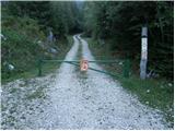 2
2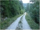 3
3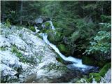 4
4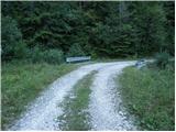 5
5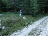 6
6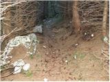 7
7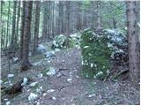 8
8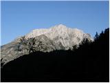 9
9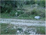 10
10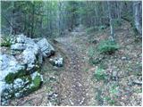 11
11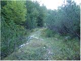 12
12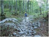 13
13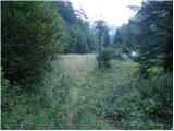 14
14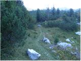 15
15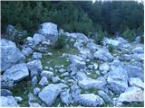 16
16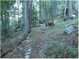 17
17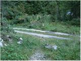 18
18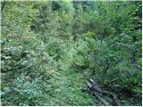 19
19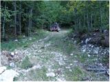 20
20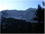 21
21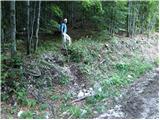 22
22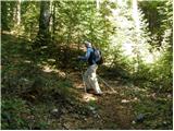 23
23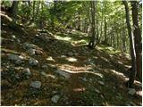 24
24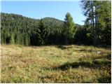 25
25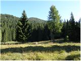 26
26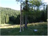 27
27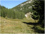 28
28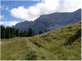 29
29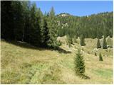 30
30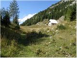 31
31 32
32
Discussion about the trip Vas na Skali - Planina v Plazeh
To post a comment you must log in:
If you do not yet have a username, you must first
register.