Velesovo - Štefanja gora (via Šterna)
Starting point: Velesovo (430 m)
| Latitude/Longitude: | 46,26579°N 14,45238°E |
| |
Route name: via Šterna
Walking time: 1 h 10 min
Difficulty: easy marked way
Elevation gain: 318 m
Elevation difference along the route: 320 m
Map:
Recommended equipment (summer):
Recommended equipment (winter): crampons
Views: 723
 | 1 person like this post |
Access to starting point:
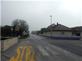
We leave the Gorenjska highway at the Kranj east exit, and then we follow the signs for Šenčur. In the center of Šenčur, where the main road turns slightly to the left, we turn slightly to the right onto Velesovska cesta. Šenčur soon ends, and after approximately 2 km from the end of the settlement, we turn left in the direction of Velesovo. Through Velesovo we continue on the main road, on which we drive to the Velesovo fire station and the store, where the described path begins.
Route description:
From the fire station we walk to the main road Visoko - Cerklje na Gorenjskem and carefully cross it. We continue on a side road which leads us towards the north to the northeast, and on it we continue to the last farm, where the asphalt ends. We continue past the hayrack as well, and by the edge of the forest, the road first turns somewhat to the left, then right into the forest, where the first blazes appear. A little further, the road changes into a cart track, where at some junctions we follow the blazes, and when we reach the ridge of Štorski hrib, where we join the path from Adergas, we continue left and quickly arrive at the marked junction at the chapel.
We continue left in the direction of the path past šterna (right path past benches) on the path, which continues for some time on a gentle cart track. The cart track soon changes into a wide and somewhat steeper footpath, which higher up joins another wider cart track. We continue the moderate ascent through the forest and from the left a marked path from the village Olševek joins us. Just a little above the mentioned junction we come to the "šterna", where the path turns sharply to the right and after a further short ascent brings us to a smaller saddle, where there is the next junction, and beside it signposts for Olševek, Adergas and Možjanca.
We continue on the right path, beside which there is no signpost, but beside the path there are trail blazes. The path ahead moderately ascends along an indistinct ridge, from which it almost imperceptibly transitions to a fairly gentle slope. A little further the path forks, and we choose the right path (the straight path leads past the farm tourism and is slightly longer), along which in a few minutes of further walking we ascend to the church of St. Štefan on the top of Štefanja gora.

Photos:
 1
1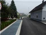 2
2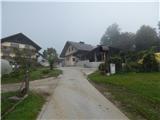 3
3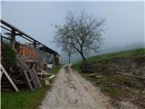 4
4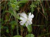 5
5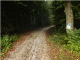 6
6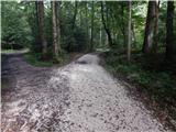 7
7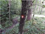 8
8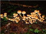 9
9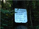 10
10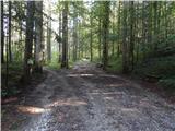 11
11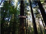 12
12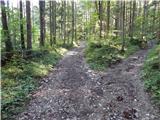 13
13 14
14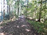 15
15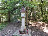 16
16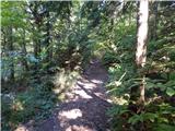 17
17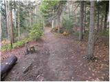 18
18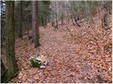 19
19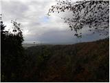 20
20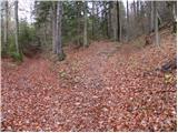 21
21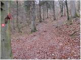 22
22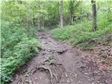 23
23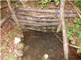 24
24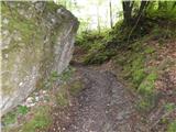 25
25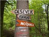 26
26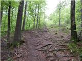 27
27 28
28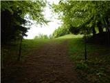 29
29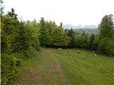 30
30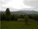 31
31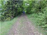 32
32 33
33
Discussion about the trip Velesovo - Štefanja gora (via Šterna)
To post a comment you must log in:
If you do not yet have a username, you must first
register.