Velika Kostrevnica - Kožljevec
Starting point: Velika Kostrevnica (280 m)
| Latitude/Longitude: | 46,02649°N 14,87286°E |
| |
Walking time: 1 h 10 min
Difficulty: easy marked way
Elevation gain: 253 m
Elevation difference along the route: 292 m
Map: Posavsko hribovje - zahodni del 1:50000
Recommended equipment (summer):
Recommended equipment (winter):
Views: 868
 | 3 people like this post |
Access to starting point:
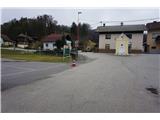
We drive to Litija, where we continue to Šmartno pri Litiji. There we follow signposts for Gabrovka and Radeče, but only to the hamlet Bajernik in the village Mala Kostrevnica. Here at the crossroads we turn right and follow the road to Velika Kostrevnica, where we park near the fire station.
Route description:
At the chapel before the fire station in Velika Kostrevnica we notice the first mountain signposts and signposts for the Slovenian mountain bike route. From here we follow the road towards Lupinica, but only a few meters, because the signs soon direct us onto a road that is in places quite steep and also narrow among houses - in the first part of the path, we follow the signs for Tisje. Higher, the road flattens a little, after the end of the village Velika Kostrevnica we go past a smaller quarry and after a few minutes of additional walking we arrive in the village Jelša. When we are past the first few houses in the village, we cross the main road Velika Kostrevnica - Liberga, where we notice that on this part of the path the Levstikova pot from Litija to Čatež also runs. We continue past the butcher shop and inn on our right, where the asphalt road slowly changes into a forest path. We still walk in the direction towards Tisje or the signs for "Pohod Tisje", and after a few minutes we ascend to a panoramic ridge path. Here we walk past a beehive, a few (holiday) cottages or vineyard cottages and the church of St. Mohor and Fortunat, which we notice a little lower. When the macadam road, on which we are, gets asphalt covering again, we soon direct a little left onto macadam, which leads us past the next few houses on the right and changes into a narrower forest footpath. Signposts "Pohod Tisje" lead us along this well-beaten footpath mostly on the right side of the ridge, a little higher we join a wider forest path, where we turn left. Already after a few steps the path splits again - the right one is marked with Knafelc blazes and leads ahead along the top of the ridge towards Tisje, here we stop following this path and direct a little to the left onto an unmarked path. At the same time we start descending a little, further on it runs all the time a little to the left side and transitions onto a forested ridge. The path eventually narrows a little, but it is all the time easy to follow. On this ridge path we will soon notice that on our left side there is the quarry Draga, which later is also pointed out by warnings on the trees along the path. Above the quarry a nice view opens up on the village Cerovica and surrounding hills, and we have only a few meters to the top of the forested Kožljevec.

Photos:
 1
1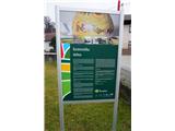 2
2 3
3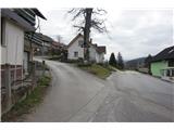 4
4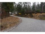 5
5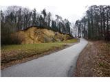 6
6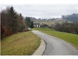 7
7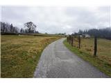 8
8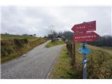 9
9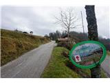 10
10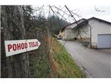 11
11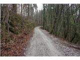 12
12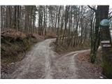 13
13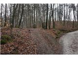 14
14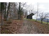 15
15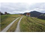 16
16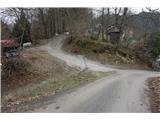 17
17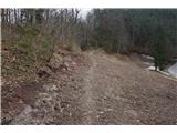 18
18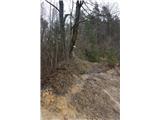 19
19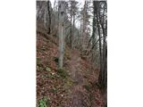 20
20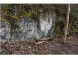 21
21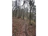 22
22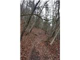 23
23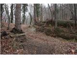 24
24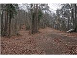 25
25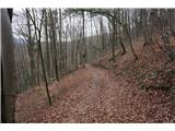 26
26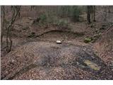 27
27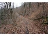 28
28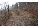 29
29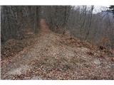 30
30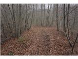 31
31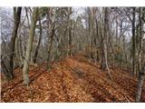 32
32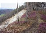 33
33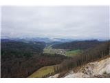 34
34 35
35
Discussion about the trip Velika Kostrevnica - Kožljevec
To post a comment you must log in:
If you do not yet have a username, you must first
register.