Veržej - Island of love (ob desnem bregu Mure)
Starting point: Veržej (183 m)
| Latitude/Longitude: | 46,58080°N 16,16270°E |
| |
Route name: ob desnem bregu Mure
Walking time: 1 h 20 min
Difficulty: easy unmarked way
Elevation gain: -4 m
Elevation difference along the route: 10 m
Map:
Recommended equipment (summer):
Recommended equipment (winter):
Views: 134
 | 1 person like this post |
Access to starting point:
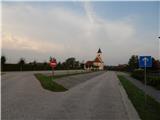
a) Leave the Pomurska motorway at the Vučja vas exit, then follow the signs for Ljutomer. Drive towards Ljutomer to the settlement of Križevci, where from the roundabout take the Banovci, Veržej exit. When arriving in Veržej, from the roundabout at the Mercator Narcisa store take the last exit towards Bunčani. Just after the roundabout, a road branches left to the parking lot of the mentioned store, but we turn left a few meters further onto the road leading to a larger parking lot by the cemetery and the parish church in Veržej.
b) First drive to Ljutomer, then follow the signs for Murska Sobota. When arriving in Veržej, from the roundabout at the Mercator Narcisa store take the last exit towards Bunčani. Just after the roundabout, a road branches left to the parking lot of the mentioned store, but we turn left a few meters further onto the road leading to a larger parking lot by the cemetery and the parish church in Veržej.
Route description:
From the end of the parking lot, continue right along the asphalt path and briefly along or on the asphalt road. When reaching the intersection with the main road some 10 meters ahead, cross it carefully at the pedestrian crossing, then continue past the Slavko Osterc memorial park. A little further, reach another road where we notice the markings of the Pomurska planinska pot. Continue walking between houses, at intersections go straight ahead and follow the markings of the marked path towards Beltinci.
At the end of the settlement, reach the main road and follow it towards Beltinci and Murska Sobota, walking along it to the bridge over the Mura River. Before the bridge, go right onto the forest road that leads parallel to the flow along the right bank of the Mura. A few minutes further, go through the underpass under the railway bridge named Ižakovski most, then the forest road leads through the forest towards the southeast and is quite distant from the river.
When reaching a section of newer clear-cutting a bit further, the somewhat wider track continues right, but we continue left across the clear-cutting strip, where another path appears, gradually somewhat wider, and continue along it to the Ižakovci ferry.
To cross to Otok ljubezni, we must use the ferry to reach the left bank of the Mura, where Otok ljubezni is located.
The ferry does not have a fixed schedule, so inquire about the timetable in advance.
The description refers to the state in December 2025, the pictures are from August 2017 and December 2025.

Photos:
 1
1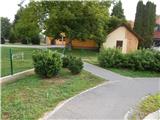 2
2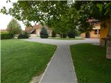 3
3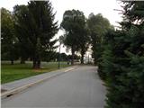 4
4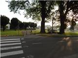 5
5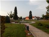 6
6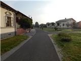 7
7 8
8 9
9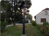 10
10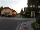 11
11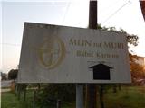 12
12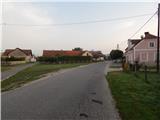 13
13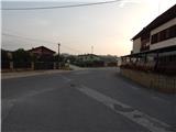 14
14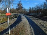 15
15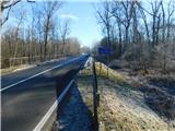 16
16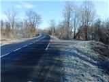 17
17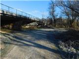 18
18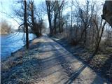 19
19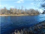 20
20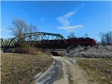 21
21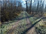 22
22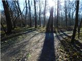 23
23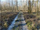 24
24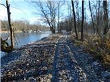 25
25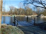 26
26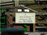 27
27
Discussion about the trip Veržej - Island of love (ob desnem bregu Mure)
To post a comment you must log in:
If you do not yet have a username, you must first
register.