Vešter - Vrh soteske (Križna gora)
Starting point: Vešter (372 m)
| Latitude/Longitude: | 46,17480°N 14,28930°E |
| |
Walking time: 1 h 15 min
Difficulty: easy unmarked way
Elevation gain: 363 m
Elevation difference along the route: 370 m
Map: Škofjeloško in Cerkljansko hribovje 1:50.000
Recommended equipment (summer):
Recommended equipment (winter): crampons
Views: 689
 | 1 person like this post |
Access to starting point:
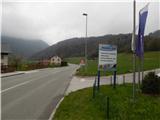
A) We drive to Škofja Loka, then continue driving towards Železniki. Still before the road sign marking the end of Škofja Loka, we will notice a sign on the right side, behind it the company Modri val, where the described path begins. At the starting point, there are no arranged parking spots for hikers.
B) We drive to Železniki, then follow the main road towards Škofja Loka. When we arrive in Škofja Loka, we will notice the company Modri val on the left side of the road, where the described path begins. At the starting point, there are no arranged parking spots for hikers.
Route description:
From the store, car bodywork and car painting Modri val, we continue on the local road which runs through the Vešter settlement. A little further, at the smaller crossroad we continue left, so that we bypass the newer apartments on the left side. After the parking lot, where parking is allowed only for residents at the address Vešter 20a and 20b, the asphalt ends, and the macadam road a little further on the right side bypasses the last house. When we are to the right of the mentioned house we continue on the left cart track, which continues through a smaller valley, after the transformer we go slightly left again, on an even narrower cart track. From the mentioned cart track, which crosses the hay meadow, after a few steps we go sharply left, on a beaten unmarked footpath which passes into the forest. For a few minutes we ascend on the forested footpath, then we reach the cart track, which we follow to the left. A little further we go from the cart track slightly right on a beaten path, which continues to ascend transversely, and leads us also under some shorter overhangs. Higher there follow still a few junctions, where we follow the better beaten path, when the path flattens, we temporarily join a worse road, which we follow to the left. From the road we go already after a few steps, at the woodpile to the right, at the first junction after the woodpile we choose the left path. In the continuation we first ascend moderately, then steeply through the forest, at the junctions we still follow the better beaten path. Higher the path flattens and splits.
We continue left on the noticeably worse beaten path (straight hunting lodge and church of St. Cross on Križna gora), along which in a few minutes we ascend to the forested summit.
Description and pictures refer to the condition in the year 2019 (April).

Photos:
 1
1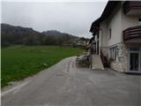 2
2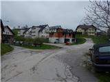 3
3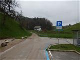 4
4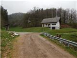 5
5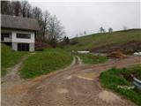 6
6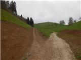 7
7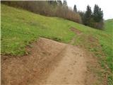 8
8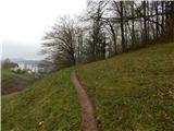 9
9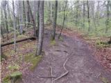 10
10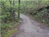 11
11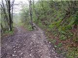 12
12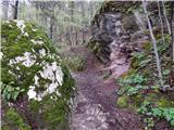 13
13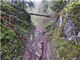 14
14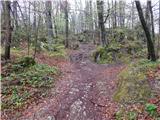 15
15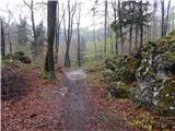 16
16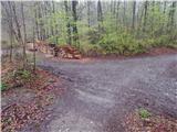 17
17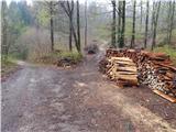 18
18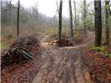 19
19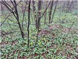 20
20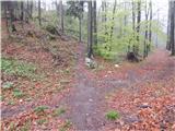 21
21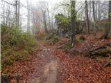 22
22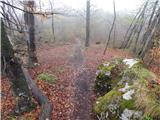 23
23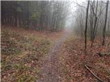 24
24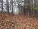 25
25 26
26 27
27
Discussion about the trip Vešter - Vrh soteske (Križna gora)
To post a comment you must log in:
If you do not yet have a username, you must first
register.