Vidrga - Zasavska Sveta gora (on forest footpath)
Starting point: Vidrga (430 m)
| Latitude/Longitude: | 46,13620°N 14,86400°E |
| |
Route name: on forest footpath
Walking time: 1 h 30 min
Difficulty: easy unmarked way
Elevation gain: 422 m
Elevation difference along the route: 422 m
Map:
Recommended equipment (summer):
Recommended equipment (winter): ice axe, crampons
Views: 3.800
 | 1 person like this post |
Access to starting point:
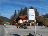
From the road Moravče - Zagorje ob Savi, in the settlement Vidrga, at the inn with accommodations Pri Vidrgarju we turn right (from the direction of Zagorje left) in the direction of Zasavska gora. We park on a suitable parking lot past the crossroads, near the inn or the ski slope.
Route description:
From the starting point, we continue on the asphalt road in the direction of Zasavska Sveta gora. First we go past the information board of the Natura 2000 area and the ski slope Kandrše Vidrga, then we begin first lightly, later moderately to ascend. Further on, we walk through the settlement Kostrevnica; when the settlement ends at the hamlet Razpotje, we go right at the chapel onto a cart track, as directed also by a wooden sign. Next follows an ascent across a meadow, where upon looking back a view opens up that reaches all the way to the Kamnik-Savinja Alps; when we step into the forest, at the junction of cart tracks we continue slightly left. Next follows crossing a macadam road, then we ascend on a cart track. The cart track higher turns right and ends a few minutes higher. From the end of the cart track we go left on a beaten but unfinished path; on it we cross some 10 steps to the right and reach another cart track. From the mentioned cart track we soon go left, where a well-followable path continues. Next follows a steep ascent; at junctions we follow the upper or better beaten path. Higher we also cross some cart tracks, and for a short time we also remain on cart tracks. After some crossings of cart tracks, follows walking on a beaten cart track; when the cart track turns right and gradually begins to descend, we go straight onto the marked path Vače - Zasavska Sveta gora, where after a few steps we reach a marked junction.
We continue right in the direction of the church on Zasavska Sveta gora (straight to Koča na Zasavski Sveti gori) and after a shorter steep ascent we step onto the summit, from which a nice view opens up that reaches all the way to the Alps.
Description and pictures refer to the condition of March 2020.

Along the route: Kostrevnica (484m)
Photos:
 1
1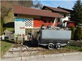 2
2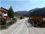 3
3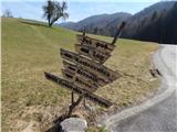 4
4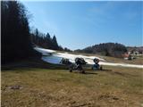 5
5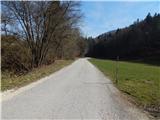 6
6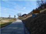 7
7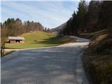 8
8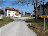 9
9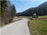 10
10 11
11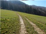 12
12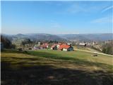 13
13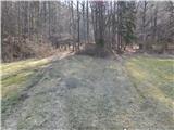 14
14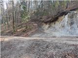 15
15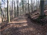 16
16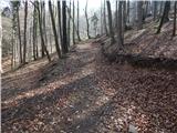 17
17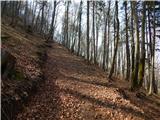 18
18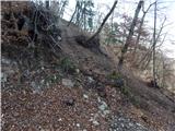 19
19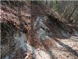 20
20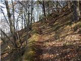 21
21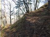 22
22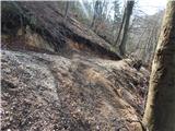 23
23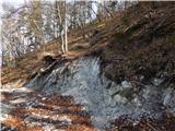 24
24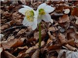 25
25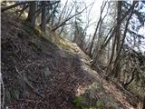 26
26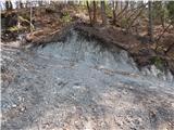 27
27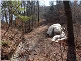 28
28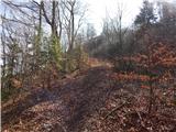 29
29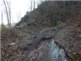 30
30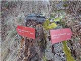 31
31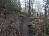 32
32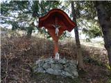 33
33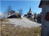 34
34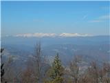 35
35 36
36
Discussion about the trip Vidrga - Zasavska Sveta gora (on forest footpath)
To post a comment you must log in:
If you do not yet have a username, you must first
register.