Vinska Gora - Gonžarjeva peč (easy path)
Starting point: Vinska Gora (450 m)
| Latitude/Longitude: | 46,34850°N 15,17310°E |
| |
Route name: easy path
Walking time: 30 min
Difficulty: easy marked way
Elevation gain: 125 m
Elevation difference along the route: 125 m
Map:
Recommended equipment (summer):
Recommended equipment (winter): crampons
Views: 8.748
 | 3 people like this post |
Access to starting point:
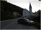
From the highway Ljubljana - Maribor we go to the exit Žalec, and then we continue driving towards Velenje. Still before Velenje, we leave the main road, because signs for Vinska Gora point us to the right on a local road, and already after a few meters it brings us to the next crossroad. Here we continue left in the direction of the church of St. John the Baptist and follow the ascending road to the parking lot by the already mentioned church.
Route description:
From the parking lot at the church, we continue on the asphalt road and at the crossroad we continue left. After a few dozen meters, blazes point us to the left upwards on a narrower road. Later, the road slightly descends, and then we soon continue right into the forest. There follows a traverse on a narrow footpath through the forest, which quickly brings us to a junction below Gonžarjeva peč. Right leads a very demanding climbing path, and we continue left and for a short time still cross the slope towards the west. We are soon at the junction again and this time we continue right upwards.
The path then starts ascending and the slope is becoming increasingly steep. There follows only the last ascent to the vantage point, where the climbing path joins from the right. In the last part, the path is also secured with a fence.
Photos:
 1
1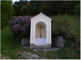 2
2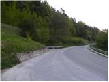 3
3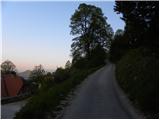 4
4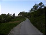 5
5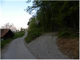 6
6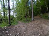 7
7 8
8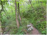 9
9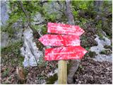 10
10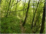 11
11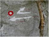 12
12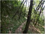 13
13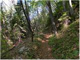 14
14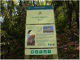 15
15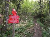 16
16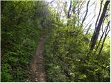 17
17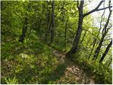 18
18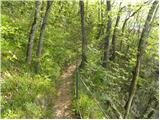 19
19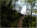 20
20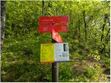 21
21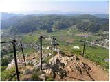 22
22
Discussion about the trip Vinska Gora - Gonžarjeva peč (easy path)
To post a comment you must log in:
If you do not yet have a username, you must first
register.