Vojnik - Sveti Tomaž above Vojnik (direct way)
Starting point: Vojnik (286 m)
| Latitude/Longitude: | 46,28838°N 15,30664°E |
| |
Route name: direct way
Walking time: 30 min
Difficulty: easy unmarked way
Elevation gain: 158 m
Elevation difference along the route: 158 m
Map:
Recommended equipment (summer):
Recommended equipment (winter):
Views: 3.470
 | 2 people like this post |
Access to starting point:
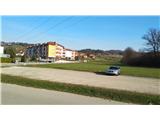
We follow the Štajerska highway to the Celje-center exit, where we leave the highway and turn right towards Vojnik. We follow the main road to Vojnik, where on the right we soon notice the parish church of St. Jernej. We drive around it and park on a large macadam parking lot.
Route description:
From the parking lot when looking towards the east, away from the church, in the distance we already see our destination. We head there along the street that goes past the parking lot. At the end of the street the main road turns left, and a small sign directs us slightly to the right onto the access road. At the end we arrive at the yard of a house, from where a hiking path branches slightly to the right through the meadow. We follow this path through the meadow until we come back to the road. Here signs direct us straight uphill. We follow the asphalt road straight the whole time, also when it turns into macadam. At the sharp bend signs direct us to the right into the forest. We follow a very well-trodden path to a larger forest junction, where we keep to the right. Then we continue to follow the very well-trodden path; at the junction a sign directs us right. The path becomes steeper; along the path a wooden railing assists us. After a sharp turn to the left we arrive at Koča pri Tomažu, from which we ascend just a short set of steps to the top. Beside the church at the top there are benches, by which there is a box with a logbook and stamp. The path is nicely trodden, a frequently visited unmarked path. Signs direct us at important junctions. There are no markings!

Photos:
 1
1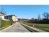 2
2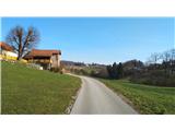 3
3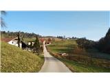 4
4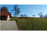 5
5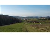 6
6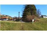 7
7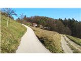 8
8 9
9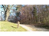 10
10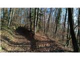 11
11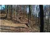 12
12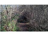 13
13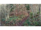 14
14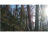 15
15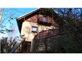 16
16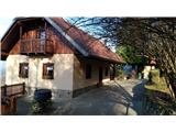 17
17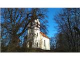 18
18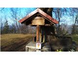 19
19
Discussion about the trip Vojnik - Sveti Tomaž above Vojnik (direct way)
To post a comment you must log in:
If you do not yet have a username, you must first
register.