Starting point: Volaka (580 m)
| Latitude/Longitude: | 46,14350°N 14,10570°E |
| |
Walking time: 2 h 5 min
Difficulty: easy marked way
Elevation gain: 811 m
Elevation difference along the route: 811 m
Map: Škofjeloško in Cerkljansko hribovje 1:50.000
Recommended equipment (summer):
Recommended equipment (winter): ice axe, crampons
Views: 7.221
 | 1 person like this post |
Access to starting point:
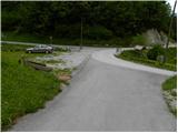
From Škofja Loka we drive towards Gorenja vas and further to Hotavlje, where we turn right in the direction of the village Leskovica and ski center Cerkno. Already after a few hundred meters, we leave the road which leads towards the village Leskovica and continue driving right in the direction of Blegoš and factory Marmor Hotavlje. Further, we drive past the mentioned factory and quarry, and then we come to the next crossroad, where we continue slightly left in the direction of Volaka. Further, we drive along Volaščica, and we calmly "overlook" all turn-offs to the left and right and follow the road to the confluence of Volaščica and Javorjeva grapa. At the confluence there is a small parking lot, and nearby there are also signposts for Blegoš.
Route description:
At the parking lot we notice signs for Blegoš, which direct us onto a steep road that ascends among nearby houses. At the last house, the road ends, and we continue the ascent on the right of two cart tracks. The cart track ahead ascends transversely above Volaščica, then, shortly after we crossed the grassy slope, it brings us to an unmarked junction, where we continue on the right marked path (slightly left: spring of Volaščica and village Leskovica - unmarked path). The path higher transitions to an old mule track, along which we ascend transversely over relatively steep, forest-covered slopes. Higher, through a small wooden bridge we cross a steep gully, then the path steeply ascends for a short time. The path ahead soon flattens, then brings us in a moderate ascent to the nearby road which comes from Leskovica.
Above the road we notice signs for Zavetišče gorske straže na Jelencih, which direct us right onto a somewhat rougher cart track. The cart track soon changes into a footpath, which steeply ascends for a while. Higher we cross a stream, the path behind it gradually flattens and after a few minutes of further walking brings us to a forest road, which we only cross.
The path ahead ascends over small steps and in 5 minutes of further walking brings us to Zavetišče gorske straže na Jelencih.
From the shelter we continue on the marked path, which goes into a dense spruce forest. Soon from the left a path from the village Laze joins, and we continue slightly right on the path which quickly brings us out of the forest. When we step out of the forest we continue right in the direction of Koča na Blegošu (left Črni vrh, straight Črni Kal) on a poorer road, on which in a few minutes we ascend to Koča na Blegošu.

Photos:
 1
1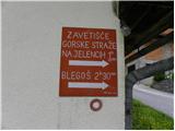 2
2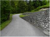 3
3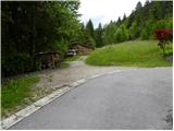 4
4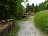 5
5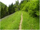 6
6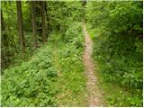 7
7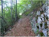 8
8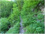 9
9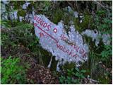 10
10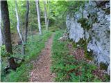 11
11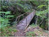 12
12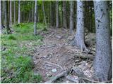 13
13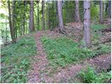 14
14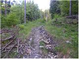 15
15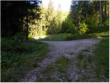 16
16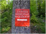 17
17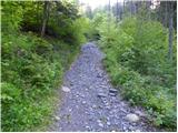 18
18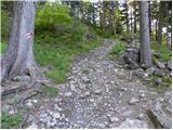 19
19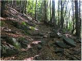 20
20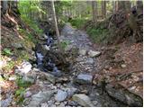 21
21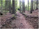 22
22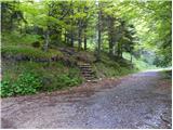 23
23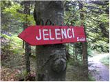 24
24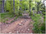 25
25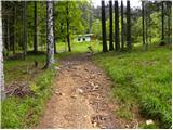 26
26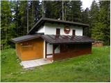 27
27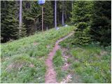 28
28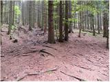 29
29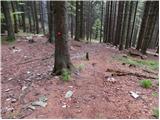 30
30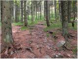 31
31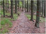 32
32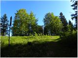 33
33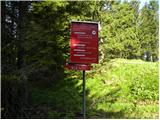 34
34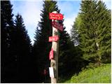 35
35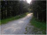 36
36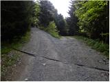 37
37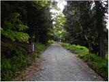 38
38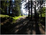 39
39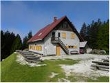 40
40
Discussion about the trip Volaka - Koča na Blegošu
To post a comment you must log in:
If you do not yet have a username, you must first
register.