Volovljek - Lepenatka (via Bivak na Kalu)
Starting point: Volovljek (1029 m)
| Latitude/Longitude: | 46,28300°N 14,68840°E |
| |
Route name: via Bivak na Kalu
Walking time: 3 h 10 min
Difficulty: easy unmarked way, easy marked way
Elevation gain: 396 m
Elevation difference along the route: 600 m
Map: Kamniške in Savinjske Alpe 1:50.000
Recommended equipment (summer):
Recommended equipment (winter): ice axe, crampons
Views: 1.170
 | 3 people like this post |
Access to starting point:
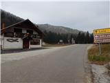
A) First, we drive to Kamnik, and then we continue driving in the direction of the mountain pass Črnivec. Just a few hundred meters before the mentioned mountain pass we notice signs for Kranjski Rak, which point us sharply left onto a narrow and at first also quite steep road. The road higher up levels out and then brings us to the mountain pass Volovljek, where near the inn Kranjski Rak we also park (parking in front of the inn is allowed only for guests). A little more space for parking is near the inn Štajerski Rak.
B) From Gornji Grad we drive towards Kamnik, then just a few hundred meters after the mountain pass Črnivec we continue right in the direction of Kranjski Rak. Further, we follow the description above.
C) From Savinjska dolina we first drive to Luče, and then we continue driving towards Kamnik. When we arrive at the mountain pass Volovljek we park at a suitable spot near the inn Kranjski Rak (parking in front of the inn is allowed only for guests). A little more space for parking is near the inn Štajerski Rak.
Route description:
From the mountain pass Volovljek we first walk to the refreshment hut Štajerski Rak (the refreshment hut is situated on the eastern side of the mountain pass Volovljek, on maps Štajerski Rak is marked at the spot where there used to be a homestead Štajerski Rak).
From the refreshment hut Štajerski Rak we continue on the forest road, which starts gently to moderately ascending through the forest. During the diagonal ascent on the road, the path mostly leads us along the northwestern slopes of Kranjska reber, from which occasionally a nice view opens up on Podvolovljek and mountains above the mentioned valley. Higher up the forest temporarily ends and a view opens up on the highest peaks of the Kamnik and Savinja Alps, the road turns a little to the right and brings us to the area named Na Kalu, where there is a marked junction.
Here the marked path to Kranjska reber branches off to the right, straight ahead the road continues, by which we can reach the mountain pass Črnivec, but we continue left, on the road in the direction of Lepenatka. Further on the road diagonally descends along the eastern slopes of Kašni vrh, from where at some spots a nice view opens up towards Menina planina. When the road turns sharply to the left and changes into a cart track, we leave it and continue straight into the forest on the path. Through the forest we descend for some time more, crossing a short drop. Lower we reach a forest road, which we follow straight ahead, then, when the road from the ridge turns slightly to the right, we continue straight on the ascending cart track, along which there are also blazes. The cart track first ascends more steeply along the ridge, then from it slightly to the left and downward an unmarked cart track branches off, which after a shorter diagonal descent joins the forest road that leads from Podvolovljek.
We continue on the mentioned cart track (straight marked path to Lepenatka), and when we reach the road we follow it right upward. On the road we ascend diagonally along the western slope of Kunšperški vrh, higher up we arrive at the right bend, which is located on the saddle between Mali Rogatec on the left and the already mentioned peak on the right.
We continue on the road and follow it to its end. From the end of the road we continue on the upper path, the left lower path leads towards Podvolovljek, next to which old blazes can be noticed. There follows the crossing of a steeper slope, where some fixed protections assist us. When after less than 5 minutes we reach the end of the second road, slightly to the right we notice the continuation of the path, which leads towards Bivak na Kalu. There follows an ascent through the forest, where we notice some old blazes, but we follow the easy-to-follow but poorly trodden path all the way to Bivak na Kalu.
From the bivouac we walk to the marked junction, which is located a few dozen steps ahead, on the saddle between Veliki Rogatec on the left and Lepenatka on the right.
We continue right in the direction of Lepenatka (left Veliki Rogatec - climbing path, slightly left Zgornji Špeh and Veliki Rogatec - past Zgornji Špeh, straight Gornji Grad and church of St. Lenart) and continue the path along the initially gentle, then steeper grassy slope. The steep part is short, then we moderately ascend along the increasingly panoramic slope. With nice views, mainly on Štajerska and surrounding mountains, we quickly reach the ridge, where another path from the church of St. Lenart and the path from Mačkin Kot join us.
We continue right and in one minute of further walking we arrive at the panoramic summit, on which there is a summit logbook box with a logbook and stamp.
Volovljek - Bivak na Kalu 2:45, Bivak na Kalu - Lepenatka 25 minutes.

Photos:
 1
1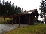 2
2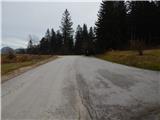 3
3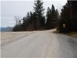 4
4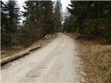 5
5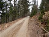 6
6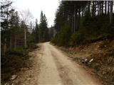 7
7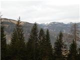 8
8 9
9 10
10 11
11 12
12 13
13 14
14 15
15 16
16 17
17 18
18 19
19 20
20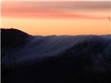 21
21 22
22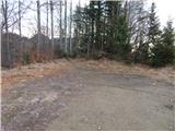 23
23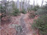 24
24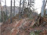 25
25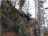 26
26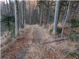 27
27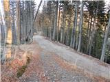 28
28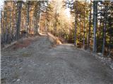 29
29 30
30 31
31 32
32 33
33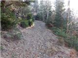 34
34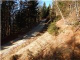 35
35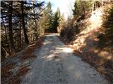 36
36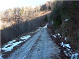 37
37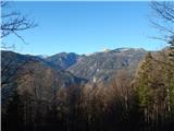 38
38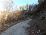 39
39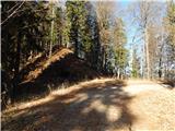 40
40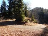 41
41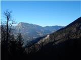 42
42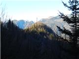 43
43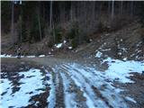 44
44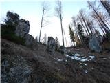 45
45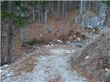 46
46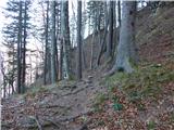 47
47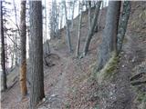 48
48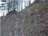 49
49 50
50 51
51 52
52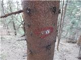 53
53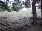 54
54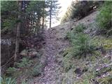 55
55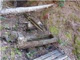 56
56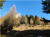 57
57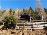 58
58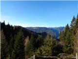 59
59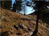 60
60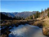 61
61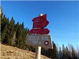 62
62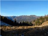 63
63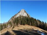 64
64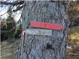 65
65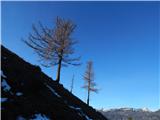 66
66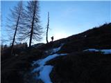 67
67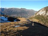 68
68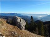 69
69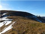 70
70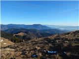 71
71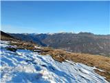 72
72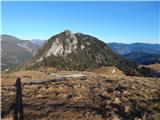 73
73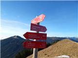 74
74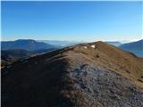 75
75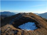 76
76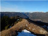 77
77
Discussion about the trip Volovljek - Lepenatka (via Bivak na Kalu)
To post a comment you must log in:
If you do not yet have a username, you must first
register.