Volovljek - Mali Rogatec (Mali Rogac)
Starting point: Volovljek (1029 m)
| Latitude/Longitude: | 46,28300°N 14,68840°E |
| |
Walking time: 2 h 10 min
Difficulty: easy unmarked way, difficult pathless terrain
Elevation gain: 199 m
Elevation difference along the route: 380 m
Map: Kamniške in Savinjske Alpe 1:50.000
Recommended equipment (summer):
Recommended equipment (winter): ice axe, crampons
Views: 781
 | 2 people like this post |
Access to starting point:
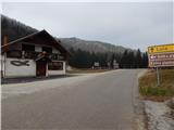
A) First, we drive to Kamnik, then continue driving in the direction of the Črnivec pass. Just a few hundred meters before the mentioned pass, we notice signs for Kranjski Rak, which direct us sharply left onto a narrow and initially quite steep road. The road levels out higher up and then takes us to the Volovljek pass, where near the Kranjski Rak inn we also park (parking in front of the inn is permitted only for guests). A little more parking space is available near the Štajerski Rak inn.
B) From Gornji Grad we drive towards Kamnik, then just a few hundred meters after the Črnivec pass we continue right in the direction of Kranjski Rak. Further on, we follow the above description.
C) From Savinjska Valley we first drive to Luče, then continue driving towards Kamnik. When we reach the Volovljek pass we park in a suitable spot by the Kranjski Rak inn (parking in front of the inn is permitted only for guests). A little more parking space is available near the Štajerski Rak inn.
Route description:
From the Volovljek pass we first walk to the Štajerski Rak refreshment hut (the refreshment hut is located on the eastern side of the Volovljek pass; on maps, Štajerski Rak is marked at the spot where the Štajerski Rak homestead used to stand).
From the Štajerski Rak refreshment hut we continue along the forest road, which begins to ascend gently to moderately through the forest. During the traverse ascent along the road, the path mostly leads us along the northwestern slopes of Kranjska reber, from which we occasionally get a nice view of Podvolovljek and the mountains above the mentioned valley. Higher up, the forest temporarily ends and a view opens to the highest peaks of the Kamnik and Savinja Alps; the road then turns slightly right and brings us to the area called Na kalu, where there is a marked junction.
Here, a marked path to Kranjska reber branches off to the right; straight ahead, the road continues, leading to the Črnivec pass; we continue left along the road in the direction of Lepenatka. Further on, the road descends transversely along the eastern slopes of Kašni vrh, from where nice views open towards Menina planina at a few spots. When the road turns sharply left and turns into a cart track, we leave it and continue straight into the forest with the path. Through the forest we descend for a while longer, crossing a short scramble. Lower down we reach a forest road, which we follow straight ahead; then, when the road turns slightly right from the ridge, we continue straight onto an ascending cart track, alongside which there are also blazes. The cart track first ascends more steeply along the ridge, then slightly left and downward from it an unmarked cart track branches off, which after a short traverse descent joins the forest road leading from Podvolovljek.
We continue along the mentioned cart track (straight ahead marked path to Lepenatka); when we reach the road, we follow it right uphill. Along the road we ascend transversely along the western slope of Kunšperški vrh; higher up we arrive at a right bend located on the saddle between Mali Rogatec to the left and the aforementioned peak to the right.
At the mentioned bend we leave the road and continue left across pathless terrain. From the point where we leave the road, we keep to the ridge or ascend slightly left of it. Higher up, the route ascends very steeply and quickly brings us across a short scramble to the lesser-known peak.
Pathless terrain is approximately 10 minutes.

Along the route: Na kalu (1250m), Sedlo Kunšperk (1119m)
Photos:
 1
1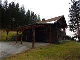 2
2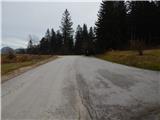 3
3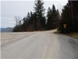 4
4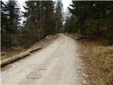 5
5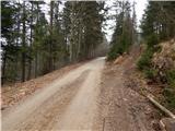 6
6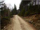 7
7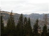 8
8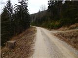 9
9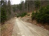 10
10 11
11 12
12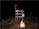 13
13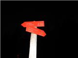 14
14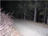 15
15 16
16 17
17 18
18 19
19 20
20 21
21 22
22 23
23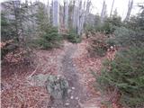 24
24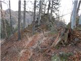 25
25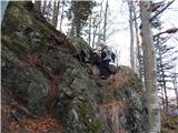 26
26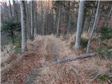 27
27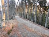 28
28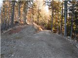 29
29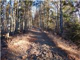 30
30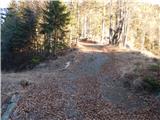 31
31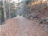 32
32 33
33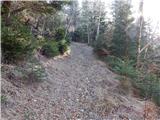 34
34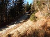 35
35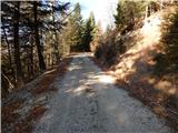 36
36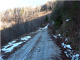 37
37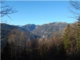 38
38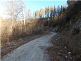 39
39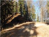 40
40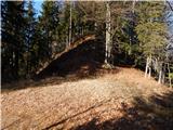 41
41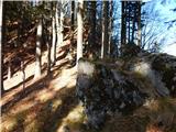 42
42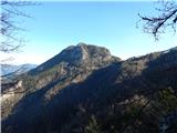 43
43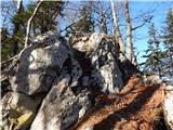 44
44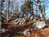 45
45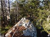 46
46 47
47
Discussion about the trip Volovljek - Mali Rogatec (Mali Rogac)
To post a comment you must log in:
If you do not yet have a username, you must first
register.