Starting point: Vrbiški dol (820 m)
| Latitude/Longitude: | 45,55990°N 14,29770°E |
| |
Walking time: 1 h
Difficulty: easy marked way
Elevation gain: -21 m
Elevation difference along the route: 175 m
Map: Snežnik 1:50.000
Recommended equipment (summer):
Recommended equipment (winter):
Views: 3.063
 | 1 person like this post |
Access to starting point:
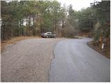
From the highway Ljubljana - Koper, we take the exit Postojna and follow the road ahead in the direction of Reka and Ilirska Bistrica. In Ilirska Bistrica, the road towards Sviščaki branches off sharply to the left. We continue driving towards Sviščaki and park at the parking lot by the road marker between 7.5 and 8 km.
Route description:
From the parking lot, we continue on the road which after 50 m brings us to the mountain signposts for Kozlek. Here we continue right slightly downwards on a macadam road, which we follow only a few steps, then we continue right (straight on the road Kozlek) on a poorly marked footpath, which starts gently to moderately descending through the forest. A little lower, the path brings us to an old tractor track, on which we descend to a nearby saddle, where we also reach some sort of forest road.
Here we continue left to a nearby cross, from there further we continue the ascent towards the east, on an at first poor cart track. The path for some time continues on a gradually steeper and steeper cart track, then it turns a little to the right and changes into a steep footpath. There follows a few minutes of relatively steep ascent through the forest and the path brings us to the summit of Ahac.
Photos:
 1
1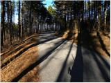 2
2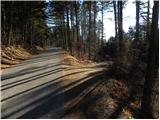 3
3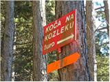 4
4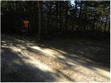 5
5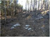 6
6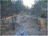 7
7 8
8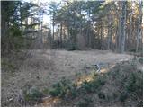 9
9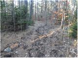 10
10 11
11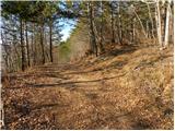 12
12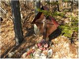 13
13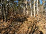 14
14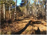 15
15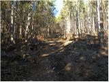 16
16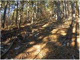 17
17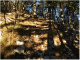 18
18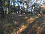 19
19 20
20
Discussion about the trip Vrbiški dol - Ahac
To post a comment you must log in:
If you do not yet have a username, you must first
register.