Vrtovin - Veliki Modrasovec
Starting point: Vrtovin (350 m)
| Latitude/Longitude: | 45,90952°N 13,81815°E |
| |
Walking time: 3 h 15 min
Difficulty: easy marked way
Elevation gain: 1003 m
Elevation difference along the route: 1035 m
Map: Goriška 1:50.000
Recommended equipment (summer):
Recommended equipment (winter): ice axe, crampons
Views: 4.302
 | 1 person like this post |
Access to starting point:
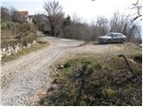
a) From the Razdrto - Nova Gorica expressway, we take the Ajdovščina exit, then at the intersection turn left towards Nova Gorica. We continue on the regional road to the village of Vrtovin, where in the middle of the village we turn right towards Čaven. We follow the road that ascends through the village at intersections in the direction of sv. Pavel, Kucelj and Čaven. We drive to the hamlet of Lozarji, where we park at the new, purpose-built asphalted parking lot for hikers (next to the parking lot there is an information board, wooden benches with a table and a drinking fountain).
b) From the Nova Gorica - Razdrto motorway, we take the Selo exit, then at the intersection turn right onto the old regional road towards Ajdovščina. We drive to the village of Vrtovin, where in the middle of the village we turn left towards Čaven. We follow the road that ascends through the village at intersections in the direction of sv. Pavel, Kucelj and Čaven. We drive to the hamlet of Lozarji, where we park at the new, purpose-built asphalted parking lot for hikers (next to the parking lot there is an information board, wooden benches with a table and a drinking fountain).
Route description:
From the newly arranged parking lot in the hamlet of Lozarji, we first head back about 150 meters along the road, then turn left uphill towards the former parking lot at the end of the village, where mountain signposts are located.
From here we continue on the left road towards Kucelj and sv. Pavel. After a few minutes of walking, the road brings us to a trail junction, where the marked mountain trail to Kucelj and Čaven branches off to the right uphill, while the road leads straight ahead towards sv. Pavel. We continue the ascent on the marked, partly stony cart track that ascends through occasionally sparse forest. A little higher we reach a marked junction, where we continue slightly right towards Mala gora and Čaven, while the path slightly left goes to Kucelj. The old, partly eroded cart track continues to ascend transversely to the right, higher up it turns into a somewhat steeper footpath that after some time crosses a forest road. We continue in the direction of Čaven and a little further cross a larger clearing, from which a nice view opens towards Kucelj. On the other side of the clearing the path returns to the forest and ascends transversely on a wide cart track. Higher up another cart track branches off to the right downhill towards the village of Kamnje, but we continue in the same direction as before and after a few more minutes of walking reach the hunting lodge or bivouac Črna peč.
From the hunting lodge, where we cross the Srednječavenska path, we continue in the direction of Mala gora and Čaven. The path immediately above the lodge returns to the cart track, which leads us under steep slopes where there is an increased possibility of falling rocks, so caution is not superfluous. The cart track and slope quickly level out, and the path soon brings us out of the forest to the Koča na Mali gori, where the next marked junction is.
From the Koča na Mali gori we continue left (we can also go left a little before the lodge, which shortens the path somewhat) into the forest and ascend on a moderately steep cart track to the next junction. This time we continue right towards Čaven (left Kucelj) and on a somewhat steeper path quickly ascend to a more trodden path that leads from the Koča na Čavnu towards Kucelj. We follow the mentioned path to the right and on it ascend in about 15 minutes to the Koča na Čavnu.
From the lodge the signs for Modrasovec and Golake direct us onto the meadow, across which we ascend transversely into the forest. When we enter the forest, we quickly cross the indistinct ridge of Mali Modrasovec (to the right an unmarked path branches off to Mali Modrasovec – 5 minutes), but we continue straight on the cart track, which slightly descends and turns slightly right. A little further we reach a marked junction, where we continue straight towards Modrasovec (slightly right Golaki). We continue the ascent on a wider but quite overgrown path that gradually passes to the right side of the ridge. From this poorer cart track a marked footpath soon branches off to the left, on which we ascend in a few minutes to the summit of Veliki Modrasovec.

Photos:
 1
1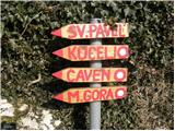 2
2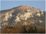 3
3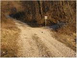 4
4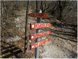 5
5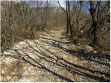 6
6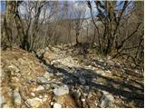 7
7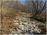 8
8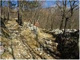 9
9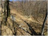 10
10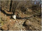 11
11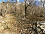 12
12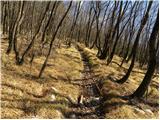 13
13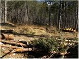 14
14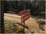 15
15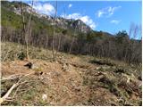 16
16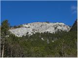 17
17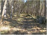 18
18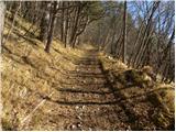 19
19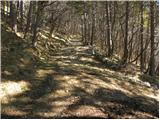 20
20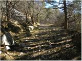 21
21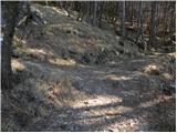 22
22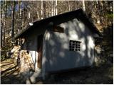 23
23 24
24 25
25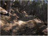 26
26 27
27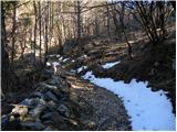 28
28 29
29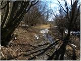 30
30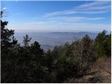 31
31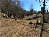 32
32 33
33 34
34 35
35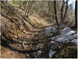 36
36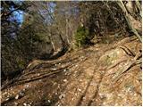 37
37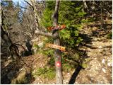 38
38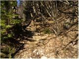 39
39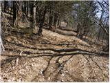 40
40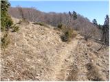 41
41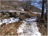 42
42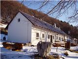 43
43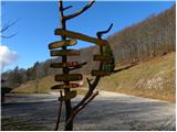 44
44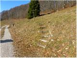 45
45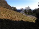 46
46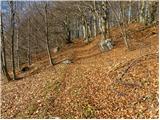 47
47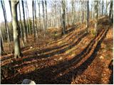 48
48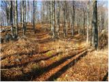 49
49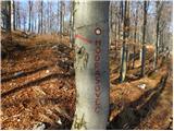 50
50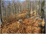 51
51 52
52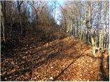 53
53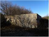 54
54 55
55
Discussion about the trip Vrtovin - Veliki Modrasovec
To post a comment you must log in:
If you do not yet have a username, you must first
register.