Starting point: Vuhred (332 m)
| Latitude/Longitude: | 46,59480°N 15,22840°E |
| |
Walking time: 4 h
Difficulty: easy unmarked way
Elevation gain: 888 m
Elevation difference along the route: 1040 m
Map: Pohorje - izletniška karta 1:50.000
Recommended equipment (summer):
Recommended equipment (winter): ice axe, crampons
Views: 158
 | 1 person like this post |
Access to starting point:
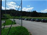
From Dravograd, drive towards Maribor or vice versa. Behind Radlje ob Dravi (from the Maribor direction before Radlje), at the roundabout leave the main road towards Maribor or Dravograd and continue driving towards Vuhred, Ribnica na Pohorju and Ribniška koča. After the bridge over the Drava River, arrive in Vuhred, but continue right towards Vuzenica and then shortly before the end of Vuhred park on a larger asphalted parking lot near the sports ground and the parish church of St. Lawrence.
Route description:
From the parking lot, return a short distance back to the road leading towards Ribnica na Pohorju, but walk along it only briefly as the signs for the path to St. Anthony direct us right onto a path that first leads across a courtyard, then transitions to a pasture over which we ascend transversely with nice views. On the other side of the pasture, the path turns left and continues briefly along the pasture before entering dense forest through which we begin to ascend more steeply. Higher up, a track leads us to a road that takes us to the nearby farm; shortly after the farm, we leave the road and continue slightly left on the marked path, which brings us to another farm. We bypass the farm on the right side, then cross the road again, which we walked on a few minutes earlier.
Next follows another ascent through the forest; higher up, we reach an indistinct forested ridge where we cross a wider gravel road twice in succession. At the second crossing, we turn onto the access road to the Betrih farm, where the path leads through the courtyard. Here the path levels out, then shortly afterwards we return to the wider road, which we follow to the right and continue on for some time. Further on, we pass individual farms, and occasionally nice views open up from the path.
Behind the Malej farm, we return to the forest, where the road forks at a chapel.
Continue straight on the marked road (the right road leads to the church of St. Anthony of Padua, 10 minutes), which begins to descend. Lower down, bypass the nearby homestead on the right side; a bit further, from the junction continue sharply left and descend for a while longer. When the road levels out, go right twice and continue following the markers. After the second junction, we gradually begin to ascend; the path leads past a few more farms. Even higher, there are a few more junctions where we follow the markers or signs for Kope.
At the Kopnik homestead, continue straight onto the road, which turns into a track behind the house and then enters the forest.
Initially, we ascend a bit more; after crossing to the other side of the forested ridge, the track levels out but becomes quite overgrown in places. Higher up, there are a few forks where we follow the markers; when we reach the saddle south of Kopnikov vrh, from the marked path turn sharply right onto a traceable but no longer marked trail, which in just over five minutes of further walking ascends to the forested summit.
The description and photos refer to the conditions in July 2025.

Along the route: Sveti Anton na Pohorju (646m)
Photos:
 1
1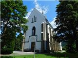 2
2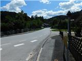 3
3 4
4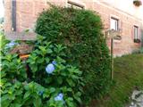 5
5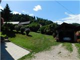 6
6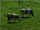 7
7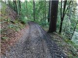 8
8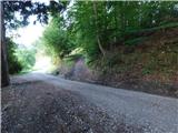 9
9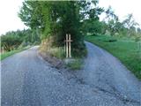 10
10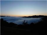 11
11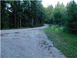 12
12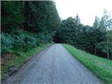 13
13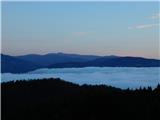 14
14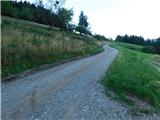 15
15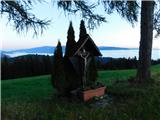 16
16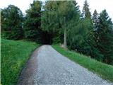 17
17 18
18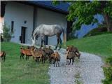 19
19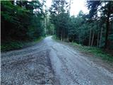 20
20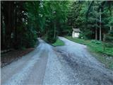 21
21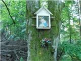 22
22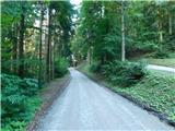 23
23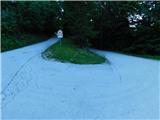 24
24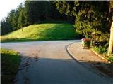 25
25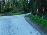 26
26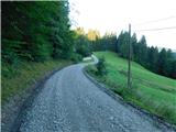 27
27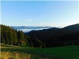 28
28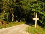 29
29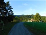 30
30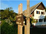 31
31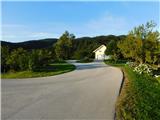 32
32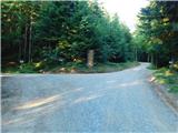 33
33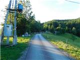 34
34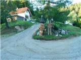 35
35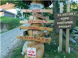 36
36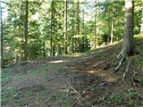 37
37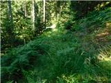 38
38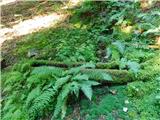 39
39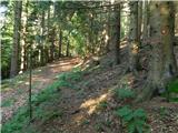 40
40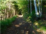 41
41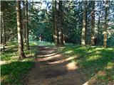 42
42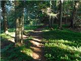 43
43 44
44 45
45 46
46
Discussion about the trip Vuhred - Kopnikov vrh
To post a comment you must log in:
If you do not yet have a username, you must first
register.