Waldheimhütte - Zirbitzkogelhütte (via Lavantsee)
Starting point: Waldheimhütte (1614 m)
| Latitude/Longitude: | 47,05620°N 14,63050°E |
| |
Route name: via Lavantsee
Walking time: 2 h 45 min
Difficulty: easy marked way
Elevation gain: 762 m
Elevation difference along the route: 825 m
Map: WK 212 (Seetaler & Seckauer Alpen 1:50.000)
Recommended equipment (summer):
Recommended equipment (winter): ice axe, crampons
Views: 152
 | 1 person like this post |
Access to starting point:
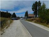
We leave the highway Klagenfurt am Wörthersee - Graz at the exit Bad St. Leonhard im Lavanttal, and then we follow the signs for Zeltweg and Reichenfels. After the settlement Reichenfels we reach the state border between Austrian Carinthia / Kärnten and Steiermark, and a little further we arrive at the Obdacher Sattel pass, where we turn left towards the settlement St. Anna am Lavantegg. Next follows a steeper ascent to the mentioned settlement, from where we follow the signs for the Waldheimhütte mountain hut. In the last section we continue on a toll road; the toll is paid at the parking meter next to the Waldheimhütte mountain hut (the toll in 2025 was 3 euros for a passenger car).
Route description:
From the parking lot we walk past the mountain hut to a marked junction, from which we head slightly left onto the path towards Köhlerhütte (straight ahead Zirbitzkogel) and begin ascending diagonally along the forest road. The path along the road leads mostly through the forest and after a good 20 minutes of walking brings us to the chapel in the tree Maria in der Zirbe.
Further on, the road gradually turns into a wider cart track and then splits.
We continue along the lower path (the upper one leads to a nearby holiday cottage) and keep following the markings, gradually starting to ascend a bit more steeply. A little further on, when we reach the indistinct ridge, we turn right and pass by the cross Türkenkreuz.
From here, a short ascent follows along the edge of the forest; then, upon reaching the forest road, we continue left towards the Köhlerhütte (right a transverse path across the slopes to the Rothaidenhütte).
The path ahead descends diagonally to the left; we bypass the holiday cottage on its lower left side. Beyond the holiday cottage, we turn right and soon arrive at the Köhlerhütte.
We bypass the cottage on the left side, then after crossing the grazing fence we leave the cart track and turn slightly right onto a marked footpath that continues through sparse forest. At a small unmarked junction we keep slightly to the right, following the blazes; soon the path almost completely flattens for a while and continues through beautiful mountain scenery. A few minutes further on, the path turns right out of the cirque and gradually begins to ascend steeply; higher up it turns left and then traverses uphill to the left for some time across steeper slopes that are dangerous for slipping or avalanches when snowy.
Higher up we cross an indistinct side ridge of Geierkogel, after which we descend diagonally to the Labotnica / Lavant river and follow it to the lake Lavantsee, which is only a few minutes away.
At the lake, we turn right and begin traversing upwards to the right on a steep slope that is slightly exposed in a shorter section. A little further on, we reach a small gully along which we ascend for a few minutes; higher up, the slope becomes less steep and we continue in a moderate ascent to a cart track, where we join the normal path from Waldheimhütte towards Zirbitzkogel.
We follow the cart track upwards and climb through several hairpin turns to a junction at the last bend, where we go right (left are the paths that lead along the south ridge of Zirbitzkogel) and then quickly reach Zirbitzkogelhütte in a traversing ascent.
Starting point - Köhlerhütte 1:00, Köhlerhütte - Lavantsee 0:50, Lavantsee - Zirbitzkogelhütte 0:55.
The description and photographs reflect conditions in October 2025.

Photos:
 1
1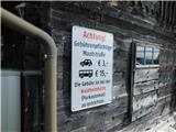 2
2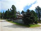 3
3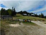 4
4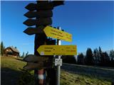 5
5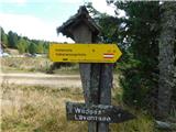 6
6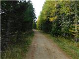 7
7 8
8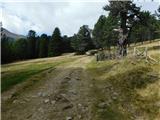 9
9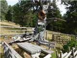 10
10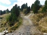 11
11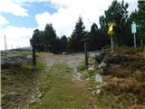 12
12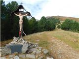 13
13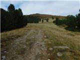 14
14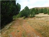 15
15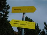 16
16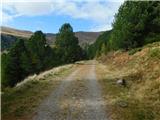 17
17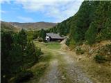 18
18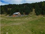 19
19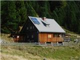 20
20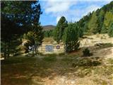 21
21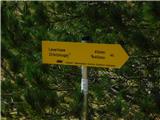 22
22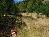 23
23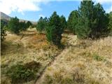 24
24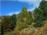 25
25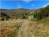 26
26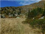 27
27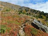 28
28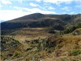 29
29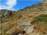 30
30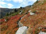 31
31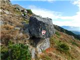 32
32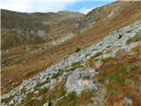 33
33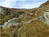 34
34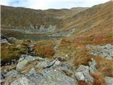 35
35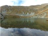 36
36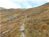 37
37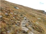 38
38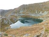 39
39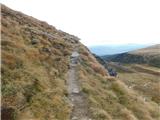 40
40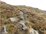 41
41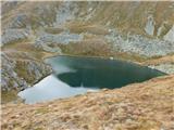 42
42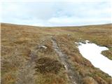 43
43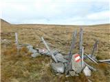 44
44 45
45 46
46 47
47 48
48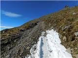 49
49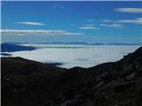 50
50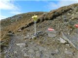 51
51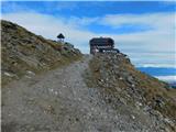 52
52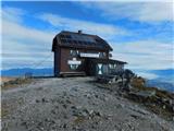 53
53
Discussion about the trip Waldheimhütte - Zirbitzkogelhütte (via Lavantsee)
To post a comment you must log in:
If you do not yet have a username, you must first
register.