Venetski hrib/Windische Hohe - Tschekelnock
Starting point: Venetski hrib/Windische Hohe (1110 m)
| Latitude/Longitude: | 46,63410°N 13,54510°E |
| |
Walking time: 2 h 30 min
Difficulty: easy marked way
Elevation gain: 783 m
Elevation difference along the route: 790 m
Map:
Recommended equipment (summer):
Recommended equipment (winter): ice axe, crampons
Views: 4.568
 | 2 people like this post |
Access to starting point:
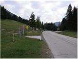
Via the border crossing Korensko sedlo, or from Beljak/Villach (to here through the Karawanks Tunnel) we drive to the settlement Podklošter/Arnoldstein. We follow the road ahead in the direction of the settlement Šmohor/Hermagor, but only to the spot where the road towards Venetski hrib/Windische Hohe branches off to the right uphill. The ascending road soon brings us to the mentioned village, where we park on a large marked parking lot.
Route description:
From the parking lot we first cross the main road next to which we notice signposts at the beginning of the path. We head across a meadow and then into the forest. The path ascends moderately and crosses a mountain road a few times. We follow the signs »Tschekelnock«. The path soon turns slightly to the right and brings us to the signposts by the road. We continue a few meters to the right along the road, where a signpost directs us left into the forest. Here the path starts to ascend more steeply and occasionally a view opens towards the Carnic Alps. The path then brings us through a smaller clearing back onto the road. We go left and in the first right turn the blazes direct us left into the forest again. We cross the road once again and then continue left along this same road, which brings us to a junction. We follow the signs »Tschekelnock« along the road that runs straight ahead (towards the north). We follow this road to a smaller mountain pasture with a chapel and shepherd's hut. Here we leave the road and go right across a meadow and then into the forest through which we ascend. The path then turns slightly to the left and the forest becomes sparser. There follows a shorter ascent across grassy slopes towards the panoramic summit. On the summit stands a cross, a few meters away there is also a registration box. The view is most beautiful on the nearby Dobrač and Graslitzen and on the Carnic Alps.

Photos:
 1
1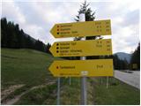 2
2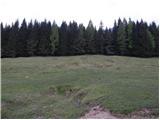 3
3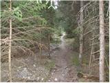 4
4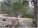 5
5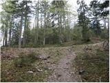 6
6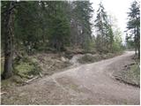 7
7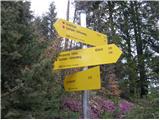 8
8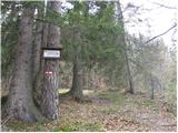 9
9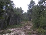 10
10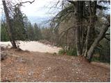 11
11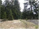 12
12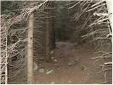 13
13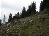 14
14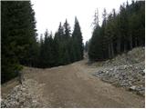 15
15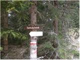 16
16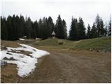 17
17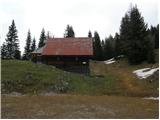 18
18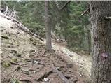 19
19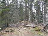 20
20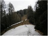 21
21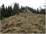 22
22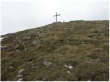 23
23 24
24
Discussion about the trip Venetski hrib/Windische Hohe - Tschekelnock
To post a comment you must log in:
If you do not yet have a username, you must first
register.