Venetski hrib/Windische Hohe - Wertschacher Alm
Starting point: Venetski hrib/Windische Hohe (1110 m)
| Latitude/Longitude: | 46,63410°N 13,54510°E |
| |
Walking time: 2 h
Difficulty: easy marked way
Elevation gain: 562 m
Elevation difference along the route: 620 m
Map:
Recommended equipment (summer):
Recommended equipment (winter):
Views: 2.828
 | 1 person like this post |
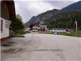
Access to starting point:
Via the border crossing Korensko sedlo, or from Beljak/Villach (to here through the Karawanks Tunnel), we drive to the settlement Podklošter/Arnoldstein. We follow the road ahead in the direction of the settlement Šmohor/Hermagor, but only to the spot where the road towards Venetski hrib/Windische Hohe branches off to the right upward. The ascending road soon brings us to the mentioned village, where we park on a large marked parking lot.
Route description:
At the end of the parking lot, we will notice signposts, which point us to the left on a cart track which is moderately ascending through the forest. After a few minutes of easy walking, the cart track turns into a footpath which for a short time steeply ascends. Further on, the path returns to a cart track which higher crosses a forest road. A little further ahead, the path brings us to the next road, which we follow to a larger meadow, where it ends. We continue straight on the marked path, which through a dense spruce forest brings us to a wooden cottage by the path. We continue on the road which soon brings us to a crossroads, where we continue left. The road then quickly brings us to a larger clearing, where we continue on the lower path, which almost circles the peak on our left. We follow this road, which higher up has a marked shortcut, to the mountain pasture Wertschacher Alm.
Photos:
 1
1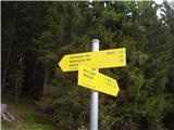 2
2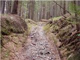 3
3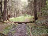 4
4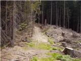 5
5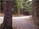 6
6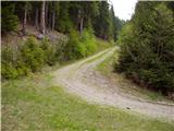 7
7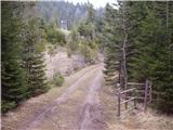 8
8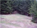 9
9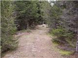 10
10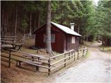 11
11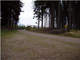 12
12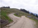 13
13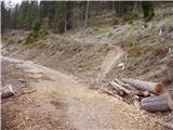 14
14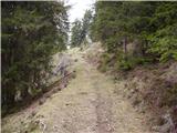 15
15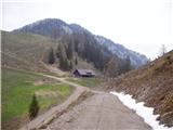 16
16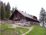 17
17
Discussion about the trip Venetski hrib/Windische Hohe - Wertschacher Alm
To post a comment you must log in:
If you do not yet have a username, you must first
register.