Starting point: Žaga (355 m)
| Latitude/Longitude: | 46,30992°N 13,47981°E |
| |
Walking time: 2 h 20 min
Difficulty: partly demanding marked way
Elevation gain: 705 m
Elevation difference along the route: 720 m
Map: Julijske Alpe - zahodni del 1:50.000
Recommended equipment (summer):
Recommended equipment (winter): ice axe, crampons
Views: 194
 | 2 people like this post |
Access to starting point:
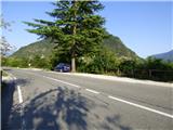
From Bovec, we drive towards Kobarid or vice versa. In the village of Žaga, before the bridge over the Učja river (but after the bridge when coming from the direction of Kobarid), is the starting point. When driving towards Bovec, there is a small parking area on the right side of the road. Parking is prohibited at the spot marked with the "privat" sign.
Route description:
At the turn before the bridge over the river Učja we turn onto a shorter asphalt road which leads to the parking lot intended for guests of Gostilna pri Mostu. Before the parking lot, yellow signposts direct us onto a steeper narrow road, along which we ascend in serpentines to the last houses. There, yellow signposts direct us onto a footpath that leads along the fence behind the house and quickly brings us to the next marked junction.
At the junction, a path branches off to the right towards the waterfall Boka, while we continue straight ahead. The path from the junction first ascends slightly, then becomes flatter and traverses a slope above the river Učja. Occasionally, breathtaking views open up towards the village Žaga and the river Učja below us. We continue along this path to the next marked junction, where a path branches off left downwards towards Učja. Here we leave the paths marked with yellow signposts and turn right uphill onto the trail marked with Knafelc blazes. From the junction, the path begins ascending through the forest in a northwesterly direction. Although it is somewhat less trodden, this section is well marked with new blazes. The path leads us past a smaller mountain pasture where two abandoned cottages stand. From here, a nice view opens up towards the river Soča. We continue along the narrow footpath through the forest, which occasionally runs along quite steep slopes. Higher up, the new blazes end, and along the path we only rarely notice a faded blaze. This relatively poorly trodden path leads past the summit of Gulj, which lies a few metres to the right of the path. Soon after the summit we reach an unmarked junction, where a path branches off left towards Planina Globoko.
At the junction we continue right along a narrow footpath that ascends a steep slope. The path, in a traversing ascent over steep slopes, brings us to Planina Ognjenik, which we reach on its southern side. The footpath across the pasture, which is already somewhat overgrown, is not clearly visible. We head towards the cottages on the mountain pasture, from where there is a beautiful view, especially towards the Soča valley.

Photos:
 1
1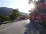 2
2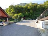 3
3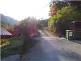 4
4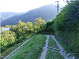 5
5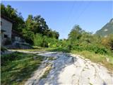 6
6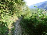 7
7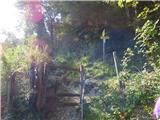 8
8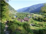 9
9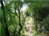 10
10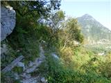 11
11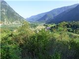 12
12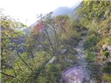 13
13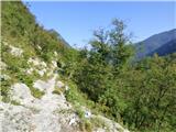 14
14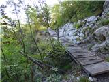 15
15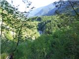 16
16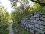 17
17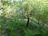 18
18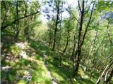 19
19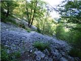 20
20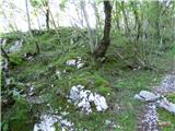 21
21 22
22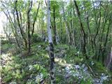 23
23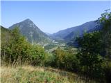 24
24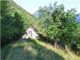 25
25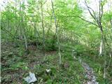 26
26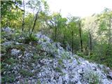 27
27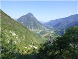 28
28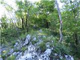 29
29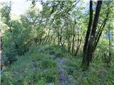 30
30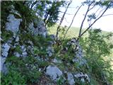 31
31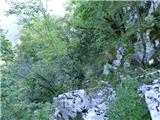 32
32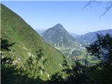 33
33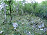 34
34 35
35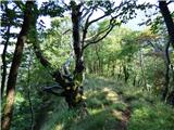 36
36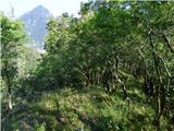 37
37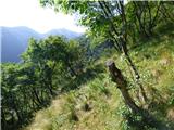 38
38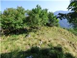 39
39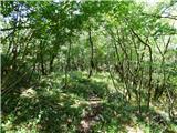 40
40 41
41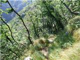 42
42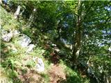 43
43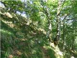 44
44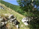 45
45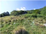 46
46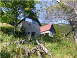 47
47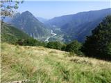 48
48
Discussion about the trip Žaga - Planina Ognjenik
To post a comment you must log in:
If you do not yet have a username, you must first
register.