Zagorje ob Savi - Kum (via Završje and Čebulova dolina)
Starting point: Zagorje ob Savi (220 m)
Path name: via Završje and Čebulova dolina
Time of walking: 3 h
Difficulty: easy marked way
Difficulty of skiing: no data
Altitude difference: 1000 m
Altitude difference (by path): 1000 m
Map:
Access to starting point:
With a car we leave the highway at the junction Trojane and we drive through the settlement Zagorje ob Savi to the bridge over Sava, where we turn left towards Trbovlje. On the road, we drive approximately 1 km to the gas station, where we park on an appropriate place.
To the starting point, we can get to also from the direction Trbovlje and Litija.
Path description:
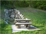
At the end of the parking lot, we will notice a bench, information board for area Prusnik and signpost for Kum via Završje. We go on this cart track which higher changes into a footpath. The footpath leads permanently upwards, on some parts quite steeply. After approximately 1 hour we come out of the forest on the edge of plateau below the village Završje. Here the hunters were friendly, they made some sort of bench. Here signs for Kum point us to the right along the forest and after approximately 100 meters left on a cart track which leads towards the houses in the village. When we come on the asphalt road, signs point us to the right upwards in the direction of the church of St. Mihael. When the asphalt ends, on the saddle (crossroad), signs point us to the right on a cart track which runs above the road in the direction of valley Čebulova dolina. In between there is a meadow, which we cross at the lower edge because there aren't any blazes, only at the end of the meadow there is a signpost.
Soon from the left joins the path from Trbovlje. Here we follow the signs and we cross a meadow to a crossroad. The right road goes on Kozlova gora, and we stick to the left forest road (well maintained) into the valley Čebulova dolina. Here we all the time stick to the road (we don't notice any blazes, but we can't miss) to the gable of the valley, where the hunters have a place for socializing. Here signs point us to the left uphill and then soon right (left - Lontovž) on a footpath which in ascent crosses a slope of the hill, until we get to a macadam road which leads on Kum. In between there is once again the turn-off for Lontovž, where the path gets very close to the road. Here we continue right, on the road, where the signs soon point us directly through a meadow on the saddle between the both peaks of Kum. When we come to the gate on the road, we go few steps right and we are in front of the mountain hut.
Pictures:
 1
1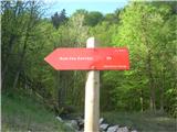 2
2 3
3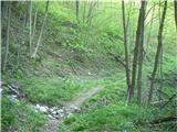 4
4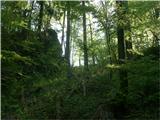 5
5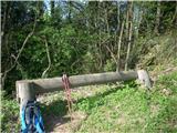 6
6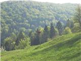 7
7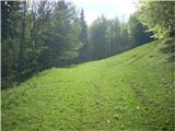 8
8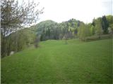 9
9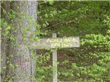 10
10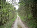 11
11 12
12 13
13 14
14 15
15 16
16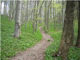 17
17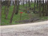 18
18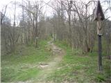 19
19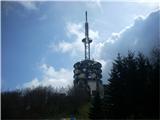 20
20 21
21 22
22 23
23